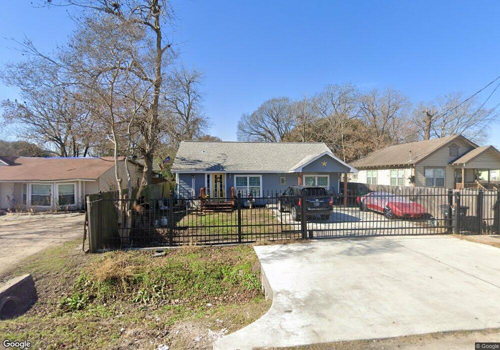
10503 Burden St Houston, TX 77093
Eastex-Jensen NeighborhoodEstimated Value: $200,000 - $252,000
3
Beds
1
Bath
1,710
Sq Ft
$130/Sq Ft
Est. Value
About This Home
This home is located at 10503 Burden St, Houston, TX 77093 and is currently estimated at $222,333, approximately $130 per square foot. 10503 Burden St is a home located in Harris County with nearby schools including Coop Elementary School, Patrick Henry Middle School, and Sam Houston Math, Science & Technology Center.
Ownership History
Date
Name
Owned For
Owner Type
Purchase Details
Closed on
Oct 8, 2004
Sold by
Delgado Herman and Delgado Claudia E
Bought by
Chavez Sonia
Current Estimated Value
Home Financials for this Owner
Home Financials are based on the most recent Mortgage that was taken out on this home.
Original Mortgage
$78,380
Outstanding Balance
$38,468
Interest Rate
5.74%
Mortgage Type
FHA
Estimated Equity
$183,865
Purchase Details
Closed on
Oct 9, 2003
Sold by
Shepler Helen C
Bought by
Galindo Ernesto
Create a Home Valuation Report for This Property
The Home Valuation Report is an in-depth analysis detailing your home's value as well as a comparison with similar homes in the area
Home Values in the Area
Average Home Value in this Area
Purchase History
| Date | Buyer | Sale Price | Title Company |
|---|---|---|---|
| Chavez Sonia | -- | Southern American Title | |
| Galindo Ernesto | -- | -- |
Source: Public Records
Mortgage History
| Date | Status | Borrower | Loan Amount |
|---|---|---|---|
| Open | Chavez Sonia | $78,380 |
Source: Public Records
Tax History Compared to Growth
Tax History
| Year | Tax Paid | Tax Assessment Tax Assessment Total Assessment is a certain percentage of the fair market value that is determined by local assessors to be the total taxable value of land and additions on the property. | Land | Improvement |
|---|---|---|---|---|
| 2025 | $619 | $122,259 | $64,063 | $58,196 |
| 2024 | $619 | $145,566 | $60,000 | $85,566 |
| 2023 | $619 | $119,541 | $46,875 | $72,666 |
| 2022 | $1,347 | $96,783 | $39,063 | $57,720 |
| 2021 | $1,296 | $59,857 | $28,125 | $31,732 |
| 2020 | $1,224 | $57,788 | $28,125 | $29,663 |
| 2019 | $1,163 | $57,788 | $28,125 | $29,663 |
| 2018 | $547 | $41,777 | $21,563 | $20,214 |
| 2017 | $1,056 | $41,777 | $21,563 | $20,214 |
| 2016 | $1,056 | $41,777 | $21,563 | $20,214 |
| 2015 | $642 | $39,815 | $17,188 | $22,627 |
| 2014 | $642 | $39,815 | $17,188 | $22,627 |
Source: Public Records
Map
Nearby Homes
- 10512 Exeter St
- 10514 Exeter St
- 1829 Skinner Rd
- 2315 Langley Rd
- 2332 Margaret St
- 2415 Goodloe St
- 1908 Little York Rd
- 2318 Cresline St
- 9910 E Hardy Rd
- 2122 Kowis St
- 2152 William Tell St
- 1802 Kowis St
- 1002 Grenfell Ln
- 1731 Schilder Dr
- 2636 Lone Oak Rd
- 10022 E Hardy Rd
- 2633 Hollis St
- 1930 Cromwell St
- 1728 Little York Rd
- 2131 Cromwell St Unit D
- 10505 Burden St
- 10501 Burden St
- 2045 Margaret St
- 10507 Burden St
- 10510 Burden St
- 2047 Margaret St
- 10502 Burden St
- 2101 Margaret St
- 0 Margaret St
- 2044 Margaret St
- 2027 Margaret St
- 2107 Margaret St
- 2014 Skinner Rd
- 2019 Margaret St
- 2024 Margaret St
- 2042 Margaret St
- 2102 Margaret St
- 2102 Margaret St Unit B
- 2102 Margaret St Unit A
- 2111 Margaret St