Estimated Value: $710,271 - $724,000
--
Bed
3
Baths
2,188
Sq Ft
$328/Sq Ft
Est. Value
About This Home
This home is located at 10503 Fm 1462 Rd, Alvin, TX 77511 and is currently estimated at $717,568, approximately $327 per square foot. 10503 Fm 1462 Rd is a home located in Brazoria County with nearby schools including Bob & Betty Nelson Elementary School, Fairview Junior High School, and Alvin High School.
Ownership History
Date
Name
Owned For
Owner Type
Purchase Details
Closed on
Oct 28, 2025
Sold by
Yoe Stephen
Bought by
Hussin Zafarullah Bin Mohamad
Current Estimated Value
Purchase Details
Closed on
Jan 30, 2025
Sold by
Miles Judith Ann Latting
Bought by
Miles Robert S
Purchase Details
Closed on
May 26, 2004
Sold by
Harris Walter K and Harris Tracy D
Bought by
Miles Robert and Miles Judith
Home Financials for this Owner
Home Financials are based on the most recent Mortgage that was taken out on this home.
Original Mortgage
$140,000
Interest Rate
5.93%
Mortgage Type
Purchase Money Mortgage
Purchase Details
Closed on
Jul 22, 1997
Sold by
White Bobby L and White Dolores A
Bought by
Choudhary Shyamal N and Choudhary Sushama
Home Financials for this Owner
Home Financials are based on the most recent Mortgage that was taken out on this home.
Original Mortgage
$20,000
Interest Rate
7.6%
Mortgage Type
Construction
Create a Home Valuation Report for This Property
The Home Valuation Report is an in-depth analysis detailing your home's value as well as a comparison with similar homes in the area
Home Values in the Area
Average Home Value in this Area
Purchase History
| Date | Buyer | Sale Price | Title Company |
|---|---|---|---|
| Hussin Zafarullah Bin Mohamad | -- | None Listed On Document | |
| Miles Robert S | -- | None Listed On Document | |
| Miles Robert | -- | Stewart Title | |
| Choudhary Shyamal N | -- | -- |
Source: Public Records
Mortgage History
| Date | Status | Borrower | Loan Amount |
|---|---|---|---|
| Previous Owner | Miles Robert | $140,000 | |
| Previous Owner | Choudhary Shyamal N | $20,000 |
Source: Public Records
Tax History Compared to Growth
Tax History
| Year | Tax Paid | Tax Assessment Tax Assessment Total Assessment is a certain percentage of the fair market value that is determined by local assessors to be the total taxable value of land and additions on the property. | Land | Improvement |
|---|---|---|---|---|
| 2025 | $2,443 | $421,250 | $127,440 | $293,810 |
| 2023 | $2,443 | $395,776 | $193,660 | $292,650 |
| 2022 | $7,666 | $359,796 | $116,610 | $267,650 |
| 2021 | $7,258 | $344,850 | $108,280 | $236,570 |
| 2020 | $6,687 | $303,250 | $83,290 | $219,960 |
| 2019 | $6,258 | $270,320 | $65,040 | $205,280 |
| 2018 | $6,333 | $272,840 | $65,040 | $207,800 |
| 2017 | $5,975 | $260,950 | $70,460 | $190,490 |
| 2016 | $5,432 | $256,260 | $70,460 | $185,800 |
| 2014 | $3,251 | $202,060 | $54,200 | $147,860 |
Source: Public Records
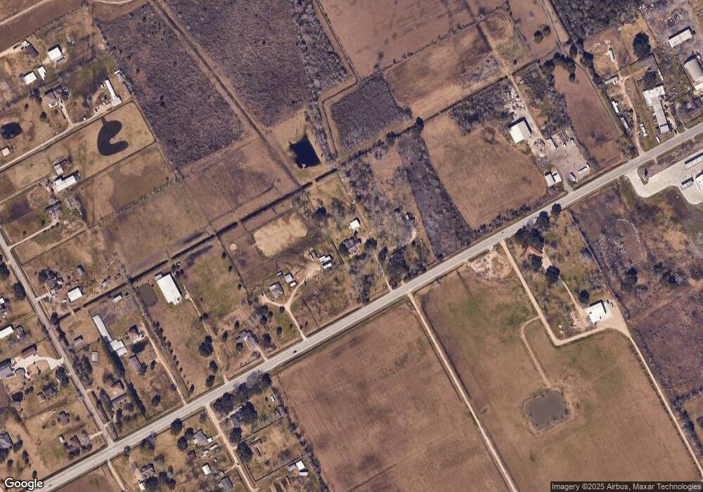
Map
Nearby Homes
- 10311 Farm To Market 1462
- 15586 County Road 436
- 10203 S Country Dr
- 0 Wickwillow Ln
- 4925 County Road 435
- 5624 Wickwillow Ln
- 14010 Patricia Ln Unit CR377
- 5130 County Road 392
- 0 Patricia Cr 377 Ln
- 6203 Wickwillow Ln
- 0
- 9602 Evan Dr
- 14707 Susie Ln
- 0 Cr-392
- 0 County Road 172 Unit 70480187
- 0008 County Road 172
- 12814 County Road 557
- 6930 S Oak Bend Dr
- 3401 Wood Fox Dr
- 2609 Quail Run Dr
- 10237 Fm 1462 Rd
- 10315 Fm 1462 Rd
- 10325 Fm 1462 Rd
- 10225 Fm 1462 Rd
- 10406 E Fm 1462 Rd
- 10419 Fm 1462 Rd
- 14103 Pursley Ln Unit FM
- 10406 Fm 1462 Rd
- 10203 Fm 1462 Rd
- 14221 Pursley Ln Unit FM1462
- 14138 Pursley Ln
- 13925 County Road 184
- Tract 6 Pursley Ln
- Tract 2 Pursley Ln
- Tract 4 Pursley Ln
- Tract 5 Pursley Ln
- Tract 3 Pursley Ln
- 14125 County Road 184
- 13907 County Road 184
- 14284 Pursley Ln