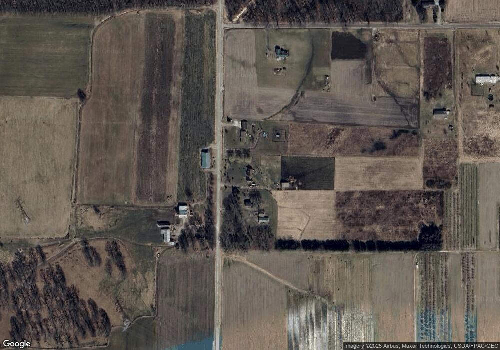
10505 Bandy Rd North Benton, OH 44449
Estimated Value: $233,000 - $355,000
3
Beds
2
Baths
1,848
Sq Ft
$166/Sq Ft
Est. Value
About This Home
This home is located at 10505 Bandy Rd, North Benton, OH 44449 and is currently estimated at $306,576, approximately $165 per square foot. 10505 Bandy Rd is a home located in Mahoning County with nearby schools including West Branch Middle School, West Branch Early Learning Center, and West Branch High School.
Ownership History
Date
Name
Owned For
Owner Type
Purchase Details
Closed on
Nov 10, 2007
Sold by
Murphy Dennis E and Murphy Teresa S
Bought by
Milhoan Tiffany M
Current Estimated Value
Home Financials for this Owner
Home Financials are based on the most recent Mortgage that was taken out on this home.
Original Mortgage
$159,000
Outstanding Balance
$100,964
Interest Rate
6.45%
Mortgage Type
Purchase Money Mortgage
Estimated Equity
$205,612
Purchase Details
Closed on
Sep 13, 2005
Sold by
Bruner Land Co Inc
Bought by
Murphy Dennis E
Home Financials for this Owner
Home Financials are based on the most recent Mortgage that was taken out on this home.
Original Mortgage
$179,803
Interest Rate
5.82%
Mortgage Type
Construction
Create a Home Valuation Report for This Property
The Home Valuation Report is an in-depth analysis detailing your home's value as well as a comparison with similar homes in the area
Home Values in the Area
Average Home Value in this Area
Purchase History
| Date | Buyer | Sale Price | Title Company |
|---|---|---|---|
| Milhoan Tiffany M | -- | None Available | |
| Murphy Dennis E | $26,500 | Title First Agency Inc |
Source: Public Records
Mortgage History
| Date | Status | Borrower | Loan Amount |
|---|---|---|---|
| Open | Milhoan Tiffany M | $159,000 | |
| Previous Owner | Murphy Dennis E | $179,803 |
Source: Public Records
Tax History Compared to Growth
Tax History
| Year | Tax Paid | Tax Assessment Tax Assessment Total Assessment is a certain percentage of the fair market value that is determined by local assessors to be the total taxable value of land and additions on the property. | Land | Improvement |
|---|---|---|---|---|
| 2024 | $2,796 | $77,160 | $14,980 | $62,180 |
| 2023 | $2,743 | $77,160 | $14,980 | $62,180 |
| 2022 | $2,539 | $64,190 | $11,980 | $52,210 |
| 2021 | $2,542 | $64,190 | $11,980 | $52,210 |
| 2020 | $2,552 | $64,190 | $11,980 | $52,210 |
| 2019 | $2,320 | $55,490 | $11,980 | $43,510 |
| 2018 | $2,310 | $55,490 | $11,980 | $43,510 |
| 2017 | $2,298 | $55,490 | $11,980 | $43,510 |
| 2016 | $2,289 | $55,350 | $13,680 | $41,670 |
| 2015 | $2,219 | $55,350 | $13,680 | $41,670 |
| 2014 | $2,231 | $55,350 | $13,680 | $41,670 |
| 2013 | $2,208 | $55,350 | $13,680 | $41,670 |
Source: Public Records
Map
Nearby Homes
- 20871 N Benton Rd W
- 10985 Johnson Rd
- 11030 12th St
- 15789 Coalbank St NE
- 105 Hartzell Rd
- 15520 Coalbank St NE
- 0 Knoll St NE
- 154 W Nevada Ave Unit 154
- 0 W Nevada Ave Unit 5159074
- 15995 Elbrook St NE
- 0 16th St Unit 5159092
- 670 W Maryland Ave
- 756 N 15th St
- 406 W Indiana Ave
- 9663 Berlin Heights Dr
- 10569 Shadyside Ln
- 625 W Maryland Ave
- 13600 Caldwell Ave
- 10745 Leffingwell Rd
- 0 W Maryland Ave
- 10577 Bandy Rd
- 10435 Bandy Rd
- 20865 Best Rd
- 20755 Best Rd
- 20705 Best Rd
- 20621 Best Rd
- 10076 Bandy Rd
- 10015 Bandy Rd
- 20611 Best Rd
- 0 Best Rd Unit 4001562
- 0 Best Rd Unit 3165140
- 0 Best Rd Unit 3378425
- 10075 Bandy Rd
- 20470 Best Rd
- 20471 Best Rd
- 20930 Middletown Rd
- 0 Best Rd Unit 3622036
- 11096 Bandy Rd
- 20748 Best Rd
- 20387 Best Rd
