10506 SW Forest Ridge Place Beaverton, OR 97007
Aloha South NeighborhoodEstimated Value: $1,230,000 - $1,417,000
5
Beds
4
Baths
4,258
Sq Ft
$310/Sq Ft
Est. Value
About This Home
This home is located at 10506 SW Forest Ridge Place, Beaverton, OR 97007 and is currently estimated at $1,321,026, approximately $310 per square foot. 10506 SW Forest Ridge Place is a home located in Washington County with nearby schools including Nancy Ryles Elementary School, Highland Park Middle School, and Mountainside High School.
Ownership History
Date
Name
Owned For
Owner Type
Purchase Details
Closed on
Aug 9, 2005
Sold by
Thompson Carla Lynn and Mockford Linda Lee
Bought by
Lee Heyoung L
Current Estimated Value
Home Financials for this Owner
Home Financials are based on the most recent Mortgage that was taken out on this home.
Original Mortgage
$359,600
Outstanding Balance
$186,713
Interest Rate
5.48%
Mortgage Type
Fannie Mae Freddie Mac
Estimated Equity
$1,134,313
Purchase Details
Closed on
Feb 19, 2001
Sold by
Nanry Starr L and Nanry John C
Bought by
Austin Glenn E and Austin Olive E
Purchase Details
Closed on
Mar 18, 1999
Sold by
Rudolph Francis R and Rudolph Joan L
Bought by
Nanry John C and Nanry Starr L
Create a Home Valuation Report for This Property
The Home Valuation Report is an in-depth analysis detailing your home's value as well as a comparison with similar homes in the area
Home Values in the Area
Average Home Value in this Area
Purchase History
| Date | Buyer | Sale Price | Title Company |
|---|---|---|---|
| Lee Heyoung L | $780,000 | First American Title Insuran | |
| Austin Glenn E | $233,900 | -- | |
| Nanry John C | $674,500 | Fidelity National Title Co |
Source: Public Records
Mortgage History
| Date | Status | Borrower | Loan Amount |
|---|---|---|---|
| Open | Lee Heyoung L | $359,600 |
Source: Public Records
Tax History Compared to Growth
Tax History
| Year | Tax Paid | Tax Assessment Tax Assessment Total Assessment is a certain percentage of the fair market value that is determined by local assessors to be the total taxable value of land and additions on the property. | Land | Improvement |
|---|---|---|---|---|
| 2025 | $13,685 | $933,510 | -- | -- |
| 2024 | $13,194 | $906,330 | -- | -- |
| 2023 | $13,194 | $879,940 | $0 | $0 |
| 2022 | $12,884 | $879,940 | $0 | $0 |
| 2021 | $12,398 | $829,440 | $0 | $0 |
| 2020 | $11,164 | $805,290 | $0 | $0 |
| 2019 | $10,953 | $781,840 | $0 | $0 |
| 2018 | $10,871 | $759,070 | $0 | $0 |
| 2017 | $10,111 | $736,970 | $0 | $0 |
| 2016 | $9,530 | $715,510 | $0 | $0 |
| 2015 | $9,160 | $694,670 | $0 | $0 |
| 2014 | $8,877 | $674,440 | $0 | $0 |
Source: Public Records
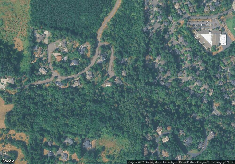
Map
Nearby Homes
- 17071 SW Mount Hood Dr
- 16555 SW Red Rock Ct
- 9975 SW Ledgestone Ct
- 10585 SW 161st Ct
- 16075 SW Flicker Ct
- 16240 SW Falcon Dr
- 9730 SW 168th Place
- 10748 SW Oriole Cir
- 16015 SW Nighthawk Dr
- 10850 SW Falcon Ct
- 10495 SW 155th Ave
- 15900 SW Breccia Dr
- 10105 SW 155th Ave
- 9460 SW Moonstone Terrace
- 16327 SW Gemstone Ct
- 11639 SW Champlin Ln
- 15730 SW Bobwhite Cir
- 15900 SW Snowy Owl Ln
- 9288 SW Diamond View Way
- 11224 SW Pintail Loop
- 10533 SW Forest Ridge Place
- 10452 SW Forest Ridge Place
- 10424 SW Forest Ridge Place
- 10442 SW Mount Adams Dr
- 10404 SW Mount Adams Dr
- 16460 SW Sanderling Ct
- 16480 SW Sanderling Ct
- 16430 SW Sanderling Ct
- 10460 SW Mount Adams Dr
- 16400 SW Sanderling Ct
- 16490 SW Sanderling Ct
- 16435 SW Sanderling Ct
- 10423 SW Mount Adams Dr
- 16485 SW Sanderling Ct
- 10395 SW Mount Adams Dr
- 16465 SW Sanderling Ct
- 16370 SW Sanderling Ct
- 16375 SW Sanderling Ct
- 10305 SW Egret Place
- 10375 SW Cormorant Dr