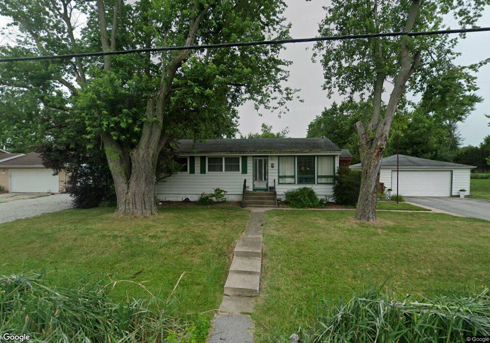
10508 Lane St Crown Point, IN 46307
Estimated Value: $216,029 - $244,000
3
Beds
1
Bath
2,050
Sq Ft
$112/Sq Ft
Est. Value
About This Home
This home is located at 10508 Lane St, Crown Point, IN 46307 and is currently estimated at $229,507, approximately $111 per square foot. 10508 Lane St is a home located in Lake County with nearby schools including Timothy Ball Elementary School, Robert Taft Middle School, and Crown Point High School.
Ownership History
Date
Name
Owned For
Owner Type
Purchase Details
Closed on
Apr 26, 2011
Sold by
Harris Na
Bought by
Lasalle 115 Holdings Llc Series 18 Sfr
Current Estimated Value
Purchase Details
Closed on
Mar 10, 2011
Sold by
Abegg Samuel
Bought by
Harris Na
Purchase Details
Closed on
Mar 4, 2011
Sold by
Abegg Samuel
Bought by
Harris Na
Purchase Details
Closed on
Oct 25, 2005
Sold by
Schweitzer Michelle
Bought by
Abegg Samuel
Home Financials for this Owner
Home Financials are based on the most recent Mortgage that was taken out on this home.
Original Mortgage
$138,500
Interest Rate
6.25%
Mortgage Type
Fannie Mae Freddie Mac
Create a Home Valuation Report for This Property
The Home Valuation Report is an in-depth analysis detailing your home's value as well as a comparison with similar homes in the area
Home Values in the Area
Average Home Value in this Area
Purchase History
| Date | Buyer | Sale Price | Title Company |
|---|---|---|---|
| Lasalle 115 Holdings Llc Series 18 Sfr | -- | None Available | |
| Harris Na | $112,500 | None Available | |
| Harris Na | $112,500 | None Available | |
| Abegg Samuel | -- | Chicago Title Insurance Comp |
Source: Public Records
Mortgage History
| Date | Status | Borrower | Loan Amount |
|---|---|---|---|
| Previous Owner | Abegg Samuel | $138,500 |
Source: Public Records
Tax History Compared to Growth
Tax History
| Year | Tax Paid | Tax Assessment Tax Assessment Total Assessment is a certain percentage of the fair market value that is determined by local assessors to be the total taxable value of land and additions on the property. | Land | Improvement |
|---|---|---|---|---|
| 2024 | $2,642 | $129,400 | $31,900 | $97,500 |
| 2023 | $2,302 | $124,300 | $31,900 | $92,400 |
| 2022 | $2,302 | $123,300 | $31,900 | $91,400 |
| 2021 | $2,036 | $114,300 | $24,600 | $89,700 |
| 2020 | $2,082 | $110,700 | $24,600 | $86,100 |
| 2019 | $2,177 | $110,700 | $24,600 | $86,100 |
| 2018 | $2,263 | $108,900 | $24,600 | $84,300 |
| 2017 | $2,189 | $103,900 | $24,600 | $79,300 |
| 2016 | $2,140 | $100,800 | $24,600 | $76,200 |
| 2014 | $2,143 | $109,900 | $24,600 | $85,300 |
| 2013 | $2,143 | $109,900 | $24,600 | $85,300 |
Source: Public Records
Map
Nearby Homes
- 7830 W 106th Ln
- 7770 W 106th Ln
- 10813 Lane St
- 3725 W 105th Ave
- 10710 Porter St
- 10729 Hanley St
- 3604 W 104th Place
- 5496 W 107th Ct
- 700 Meadow Ln
- 771 Kenmare Pkwy
- 767 Kenmare Pkwy
- 621 Pratt St
- 1667 Chalone Ct
- 114 S Chase Dr
- 11341 Lakewood St
- 11217 Burr Parcel 2 St
- 11224 Durbin Place
- 301 Hoffman St
- 312 Summit Park Ct S
- 222 Maple St