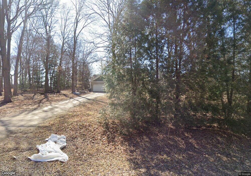
10509 County Road 26 Findlay, OH 45840
Estimated Value: $351,000 - $387,156
4
Beds
2
Baths
2,352
Sq Ft
$159/Sq Ft
Est. Value
About This Home
This home is located at 10509 County Road 26, Findlay, OH 45840 and is currently estimated at $373,789, approximately $158 per square foot. 10509 County Road 26 is a home located in Hancock County with nearby schools including Arlington Local Elementary School and Arlington Local High School.
Ownership History
Date
Name
Owned For
Owner Type
Purchase Details
Closed on
Oct 25, 2016
Bought by
Robin A Burns and Wesley S Burns
Current Estimated Value
Home Financials for this Owner
Home Financials are based on the most recent Mortgage that was taken out on this home.
Interest Rate
3.52%
Purchase Details
Closed on
Nov 17, 1998
Sold by
Gillam Jerry
Bought by
Elledge John and Elledge Neva
Purchase Details
Closed on
Nov 13, 1989
Bought by
Gillam Rosemary I
Purchase Details
Closed on
Oct 16, 1989
Bought by
Beagle Cleo L
Create a Home Valuation Report for This Property
The Home Valuation Report is an in-depth analysis detailing your home's value as well as a comparison with similar homes in the area
Home Values in the Area
Average Home Value in this Area
Purchase History
| Date | Buyer | Sale Price | Title Company |
|---|---|---|---|
| Robin A Burns | $200,000 | -- | |
| Elledge John | $115,500 | -- | |
| Gillam Rosemary I | $45,000 | -- | |
| Beagle Cleo L | -- | -- |
Source: Public Records
Mortgage History
| Date | Status | Borrower | Loan Amount |
|---|---|---|---|
| Closed | Robin A Burns | -- |
Source: Public Records
Tax History Compared to Growth
Tax History
| Year | Tax Paid | Tax Assessment Tax Assessment Total Assessment is a certain percentage of the fair market value that is determined by local assessors to be the total taxable value of land and additions on the property. | Land | Improvement |
|---|---|---|---|---|
| 2024 | $3,869 | $95,970 | $9,250 | $86,720 |
| 2023 | $3,896 | $95,970 | $9,250 | $86,720 |
| 2022 | $3,627 | $95,970 | $9,250 | $86,720 |
| 2021 | $2,348 | $80,280 | $9,200 | $71,080 |
| 2020 | $2,348 | $80,280 | $9,200 | $71,080 |
| 2019 | $2,284 | $80,280 | $9,200 | $71,080 |
| 2018 | $1,979 | $69,810 | $8,000 | $61,810 |
| 2017 | $989 | $69,810 | $8,000 | $61,810 |
| 2016 | $1,915 | $69,810 | $8,000 | $61,810 |
| 2015 | $1,069 | $37,850 | $8,000 | $29,850 |
| 2014 | $1,074 | $37,850 | $8,000 | $29,850 |
| 2012 | $1,139 | $37,850 | $8,000 | $29,850 |
Source: Public Records
Map
Nearby Homes
- 648 N Main St
- 0 Township Rd Unit 77 207219
- 12500 County Road 24
- 0 W Main Cross St Unit 6119599
- 0 W Main Cross St Unit 6119602
- 0 W Main Cross St Unit 6119597
- 309 Alisa Ln
- 121 Hickory Grove Dr
- 395 Powell Dr
- 219 E Main Cross St
- 230 Union St
- 118 Wilch St
- 0 Powell Dr Lot 3 Unit 6091840
- 0 Penrose Dr
- 3323 Western Ave
- 0 Township Road 77
- 6993 County Road 313
- 15055 County Road 26
- 20265 U S 68
- 3065 S Main St
- 10551 County Road 26
- 10552 County Road 26
- 10597 County Road 26
- 10623 County Road 26
- 10651 County Road 26
- 15924 Township Road 72
- 10750 County Road 26
- 10117 County Road 26
- 10112 County Road 26
- 10977 County Road 26
- 10482 Township Road 73
- 10934 County Road 26
- 15665 Township Road 72
- 9940 County Road 26
- 10473 Township Road 73
- 16676 Township Road 72
- 15458 Township Road 72
- 15458 Township Road 72
- 11126 County Road 26
- 15224 Township Road 72
