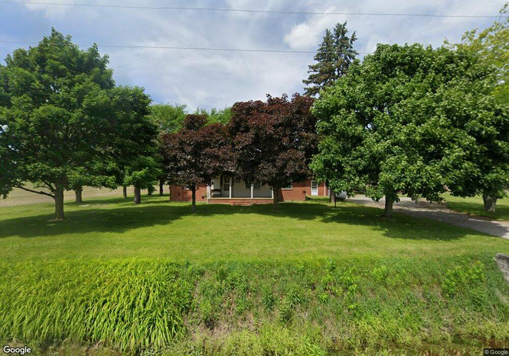
10509 Custar Rd Custar, OH 43511
Estimated Value: $168,000 - $230,595
2
Beds
2
Baths
1,535
Sq Ft
$130/Sq Ft
Est. Value
About This Home
This home is located at 10509 Custar Rd, Custar, OH 43511 and is currently estimated at $199,149, approximately $129 per square foot. 10509 Custar Rd is a home located in Wood County with nearby schools including Bowling Green High School.
Ownership History
Date
Name
Owned For
Owner Type
Purchase Details
Closed on
Jun 19, 2020
Sold by
Simon James D
Bought by
J D Simon Farms Llc
Current Estimated Value
Purchase Details
Closed on
May 12, 2011
Sold by
Simon Deborah J and Simon Debra J
Bought by
Simon James D
Purchase Details
Closed on
May 30, 1997
Sold by
Camp Richard
Bought by
Simon James D and Simon Debra J
Purchase Details
Closed on
Jun 13, 1977
Bought by
Camp Richard
Create a Home Valuation Report for This Property
The Home Valuation Report is an in-depth analysis detailing your home's value as well as a comparison with similar homes in the area
Home Values in the Area
Average Home Value in this Area
Purchase History
| Date | Buyer | Sale Price | Title Company |
|---|---|---|---|
| J D Simon Farms Llc | -- | -- | |
| Simon James D | -- | Attorney | |
| Simon James D | $108,000 | -- | |
| Camp Richard | -- | -- |
Source: Public Records
Tax History Compared to Growth
Tax History
| Year | Tax Paid | Tax Assessment Tax Assessment Total Assessment is a certain percentage of the fair market value that is determined by local assessors to be the total taxable value of land and additions on the property. | Land | Improvement |
|---|---|---|---|---|
| 2024 | $2,844 | $67,025 | $8,085 | $58,940 |
| 2023 | $2,844 | $67,030 | $8,090 | $58,940 |
| 2021 | $2,422 | $55,480 | $6,480 | $49,000 |
| 2020 | $2,300 | $55,480 | $6,480 | $49,000 |
| 2019 | $2,015 | $46,980 | $6,480 | $40,500 |
| 2018 | $2,002 | $46,980 | $6,480 | $40,500 |
| 2017 | $1,977 | $46,980 | $6,480 | $40,500 |
| 2016 | $1,751 | $41,800 | $4,870 | $36,930 |
| 2015 | $1,751 | $41,800 | $4,870 | $36,930 |
| 2014 | $1,847 | $41,800 | $4,870 | $36,930 |
| 2013 | $2,060 | $41,800 | $4,870 | $36,930 |
Source: Public Records
Map
Nearby Homes
- 22856 Main St
- 23117 Defiance Pike
- 22759 Defiance Pike
- 20750 Sycamore St
- 20310 Taylor St
- 13460 Ash St
- 20391 Brown Ln
- 20210 Oak St
- 20553 Euler Rd
- 3374 County Road J
- 20236 Jerry City Rd
- 22327 U S 6
- 0 Otsego Pike Unit 6136991
- 19393 U S 6
- 22888 Wintergreen Rd
- 114 N Harvest Dr
- 117 Meadow Ln
- 109 N Harvest St
- 106 N Harvest Dr
- 115 Meadow Ln
- 10662 Custar Rd
- 10687 Custar Rd
- 10836 Custar Rd
- 23179 Maplewood Rd
- 23179 Maplewood Rd
- 22899 Maplewood Rd
- 23114 Mermill Rd
- 23024 Maplewood Rd
- 22862 Mermill Rd
- 22884 Maplewood Rd
- 23368 Mermill Rd
- 23346 Maplewood Rd
- 22708 Maplewood Rd
- 22375 Mermill Rd
- 23438 Maplewood Rd
- 22190 Mermill Rd
- 22550 Mermill Rd
- 9876 Custar Rd
- 23572 Mermill Rd
- 22573 Mermill Rd