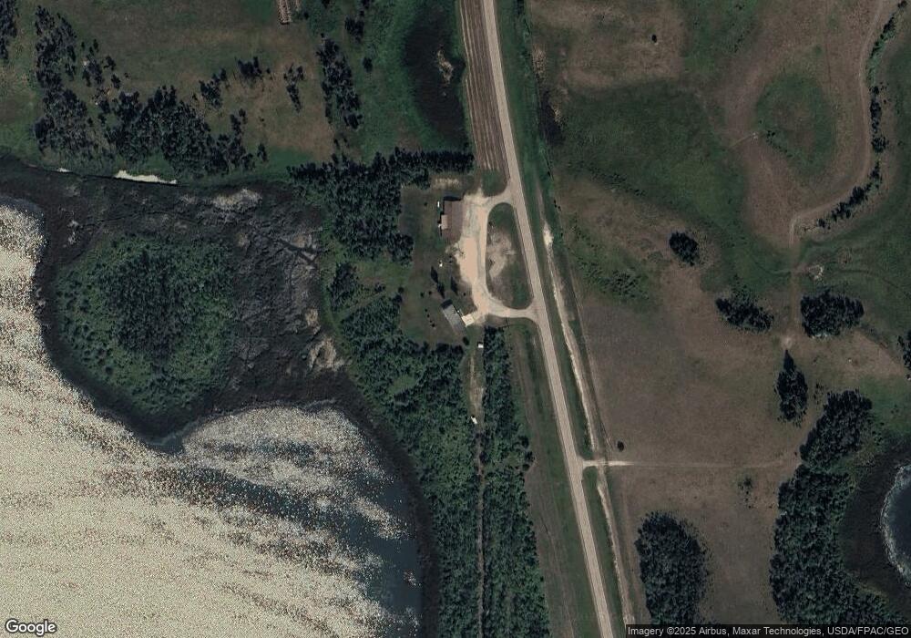
10509 Highway 281 Dunseith, ND 58329
Estimated Value: $73,000 - $239,000
--
Bed
--
Bath
--
Sq Ft
2.5
Acres
About This Home
This home is located at 10509 Highway 281, Dunseith, ND 58329 and is currently estimated at $160,691. 10509 Highway 281 is a home with nearby schools including Dunseith Elementary School and Dunseith High School.
Ownership History
Date
Name
Owned For
Owner Type
Purchase Details
Closed on
Sep 15, 2023
Sold by
Morin Richard
Bought by
Chase Christine
Current Estimated Value
Purchase Details
Closed on
Jun 1, 2020
Sold by
Poitra Raphael
Bought by
Morin Richard
Home Financials for this Owner
Home Financials are based on the most recent Mortgage that was taken out on this home.
Original Mortgage
$147,200
Interest Rate
3.3%
Mortgage Type
New Conventional
Create a Home Valuation Report for This Property
The Home Valuation Report is an in-depth analysis detailing your home's value as well as a comparison with similar homes in the area
Home Values in the Area
Average Home Value in this Area
Purchase History
| Date | Buyer | Sale Price | Title Company |
|---|---|---|---|
| Chase Christine | -- | None Listed On Document | |
| Morin Richard | $184,000 | None Available |
Source: Public Records
Mortgage History
| Date | Status | Borrower | Loan Amount |
|---|---|---|---|
| Previous Owner | Morin Richard | $147,200 |
Source: Public Records
Tax History Compared to Growth
Tax History
| Year | Tax Paid | Tax Assessment Tax Assessment Total Assessment is a certain percentage of the fair market value that is determined by local assessors to be the total taxable value of land and additions on the property. | Land | Improvement |
|---|---|---|---|---|
| 2024 | $883 | $43,450 | $1,200 | $42,250 |
| 2023 | $852 | $43,450 | $1,200 | $42,250 |
| 2022 | $797 | $41,000 | $1,150 | $39,850 |
| 2021 | $828 | $39,800 | $1,100 | $38,700 |
| 2020 | $784 | $39,800 | $1,100 | $38,700 |
| 2019 | $770 | $39,800 | $1,100 | $38,700 |
| 2018 | $690 | $38,250 | $1,050 | $37,200 |
| 2017 | $689 | $38,250 | $1,050 | $37,200 |
| 2016 | $638 | $38,250 | $1,050 | $37,200 |
| 2015 | $571 | $3,443 | $0 | $0 |
| 2014 | $580 | $3,443 | $0 | $0 |
| 2013 | $454 | $2,869 | $0 | $0 |
Source: Public Records
Map
Nearby Homes
- TBD 103 St S
- TBD 103 St NE
- Tbd 103 St NE
- w2ne4, ne4nw4 of 31 163 73
- W2ne4, Ne4 of 31 163 73
- TBD 103rd St NE
- W2ne4 Unit NE4NW4
- Lot 16 Hartley Shores Rd
- 3738 Bureau of Indian Affairs Road 8
- LOT 4 Lakeside Bay Unit Long Lake
- 912 Shadow Bay
- 2323 Shady Ln
- 10317 41st Ave NE
- 1419 Loon Lake Rd E Unit Loon Lake
- 9 Loon Lake
- L15-16 Loon Lake
- L13-14 Loon Lake
- L11-12 Loon Lake
- 300 Lake Metigoshe Park Unit 164 & 165
- 1052 Lake Metigoshe Park