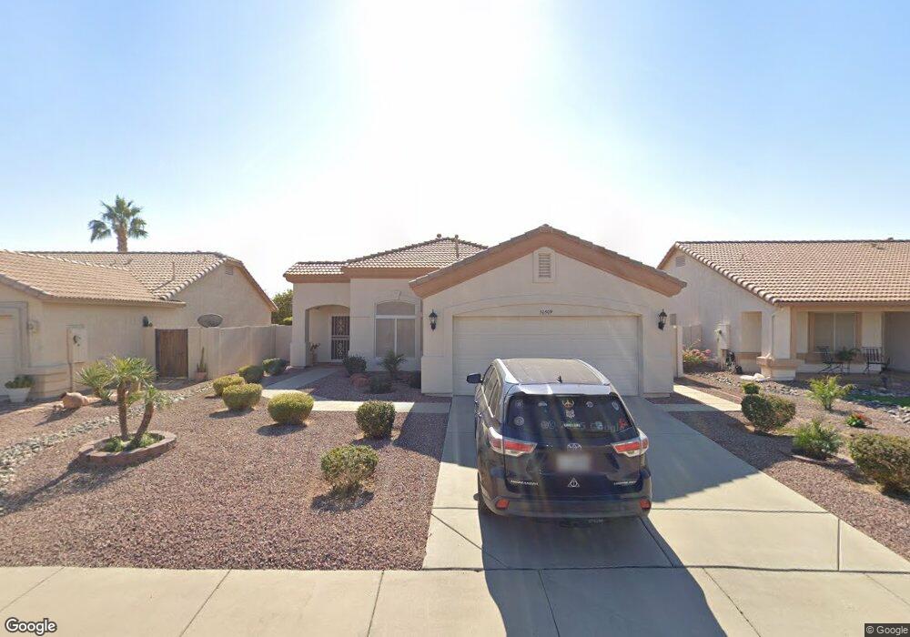
10509 W Potter Dr Peoria, AZ 85382
Estimated Value: $342,793 - $403,000
--
Bed
3
Baths
1,583
Sq Ft
$238/Sq Ft
Est. Value
About This Home
This home is located at 10509 W Potter Dr, Peoria, AZ 85382 and is currently estimated at $376,198, approximately $237 per square foot. 10509 W Potter Dr is a home located in Maricopa County with nearby schools including Parkridge Elementary School, Sunrise Mountain High School, and Candeo Peoria.
Ownership History
Date
Name
Owned For
Owner Type
Purchase Details
Closed on
Oct 3, 2023
Sold by
Mackey Family Living Trust
Bought by
Mackey Family Living Trust and Mackey
Current Estimated Value
Purchase Details
Closed on
Jan 18, 2014
Sold by
Mackey Stephen and Mackey Debra
Bought by
The Mackey Family Living Trust and Mackey Debra J
Purchase Details
Closed on
Nov 1, 2005
Sold by
Phillips Leslie and Phillips Virginia M
Bought by
Mackey Stephen and Mackeny Debra
Home Financials for this Owner
Home Financials are based on the most recent Mortgage that was taken out on this home.
Original Mortgage
$227,200
Interest Rate
6.07%
Mortgage Type
New Conventional
Purchase Details
Closed on
Feb 1, 2001
Sold by
Lennar Homes Of Arizona Inc
Bought by
Phillips Leslie and Phillips Virginia M
Purchase Details
Closed on
Jul 26, 2000
Sold by
Lennar Land Partners Ii
Bought by
Lennar Communities Development Inc
Create a Home Valuation Report for This Property
The Home Valuation Report is an in-depth analysis detailing your home's value as well as a comparison with similar homes in the area
Home Values in the Area
Average Home Value in this Area
Purchase History
| Date | Buyer | Sale Price | Title Company |
|---|---|---|---|
| Mackey Family Living Trust | -- | None Listed On Document | |
| The Mackey Family Living Trust | -- | None Available | |
| Mackey Stephen | $287,000 | Security Title Agency Inc | |
| Phillips Leslie | $132,205 | North American Title Agency | |
| Lennar Homes Of Arizona Inc | -- | North American Title Agency | |
| Lennar Communities Development Inc | $131,090 | North American Title Agency |
Source: Public Records
Mortgage History
| Date | Status | Borrower | Loan Amount |
|---|---|---|---|
| Previous Owner | Mackey Stephen | $227,200 |
Source: Public Records
Tax History Compared to Growth
Tax History
| Year | Tax Paid | Tax Assessment Tax Assessment Total Assessment is a certain percentage of the fair market value that is determined by local assessors to be the total taxable value of land and additions on the property. | Land | Improvement |
|---|---|---|---|---|
| 2025 | $1,585 | $19,669 | -- | -- |
| 2024 | $1,555 | $18,732 | -- | -- |
| 2023 | $1,555 | $28,230 | $5,640 | $22,590 |
| 2022 | $1,522 | $22,280 | $4,450 | $17,830 |
| 2021 | $1,621 | $21,330 | $4,260 | $17,070 |
| 2020 | $1,627 | $19,020 | $3,800 | $15,220 |
| 2019 | $1,566 | $18,070 | $3,610 | $14,460 |
| 2018 | $1,506 | $17,260 | $3,450 | $13,810 |
| 2017 | $1,508 | $15,230 | $3,040 | $12,190 |
| 2016 | $1,469 | $15,120 | $3,020 | $12,100 |
| 2015 | $1,392 | $14,280 | $2,850 | $11,430 |
Source: Public Records
Map
Nearby Homes
- 10528 W Potter Dr
- 20615 N 105th Ave
- 20670 N 105th Dr
- 20769 N 106th Ln
- 10368 W Ross Ave
- 10630 W Mohawk Ln
- 10344 W Burnett Rd
- 10672 W Ross Ave
- 10347 W Mohawk Ln
- 20957 N 107th Dr
- 10722 W Irma Ln
- 10728 W Irma Ln
- 20360 N 106th Ln
- 10549 W Albert Ln
- 10379 W Tonopah Dr
- 10659 W Yukon Dr
- 20274 N 104th Ave
- 10763 W Runion Dr
- 10816 W Deanna Dr
- 10169 W Potter Dr
- 10515 W Potter Dr
- 10503 W Potter Dr
- 10521 W Potter Dr
- 10469 W Potter Dr
- 10510 W Irma Ln
- 10504 W Irma Ln
- 10516 W Irma Ln
- 10470 W Irma Ln
- 10527 W Potter Dr
- 10510 W Potter Dr
- 10510 W Potter Dr
- 10522 W Irma Ln
- 10470 W Potter Dr
- 10504 W Potter Dr
- 10516 W Potter Dr
- 10533 W Potter Dr
- 10528 W Irma Ln
- 10522 W Potter Dr
- 20757 N 104th Ln
- 20767 N 104th Ln