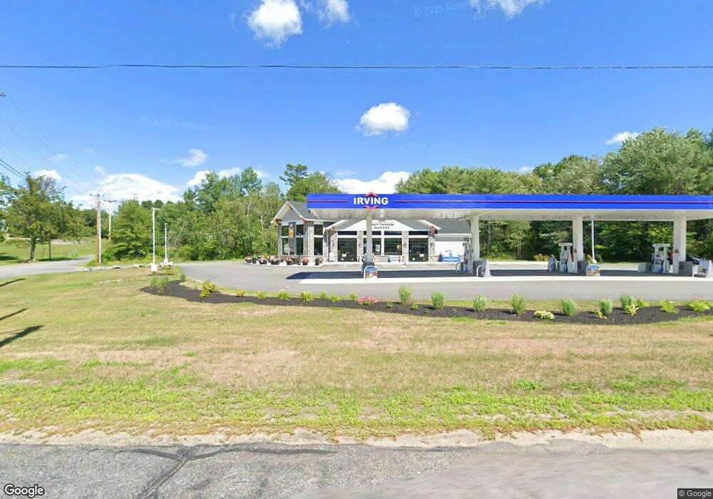
1051 Auburn Rd Turner, ME 04282
Estimated Value: $1,274,113
--
Bed
--
Bath
--
Sq Ft
1.34
Acres
About This Home
This home is located at 1051 Auburn Rd, Turner, ME 04282 and is currently estimated at $1,274,113. 1051 Auburn Rd is a home located in Androscoggin County with nearby schools including Tripp Middle School, Leavitt Area High School, and Calvary Christian Academy.
Ownership History
Date
Name
Owned For
Owner Type
Purchase Details
Closed on
Oct 31, 2022
Sold by
Byrant-Deschenes Joan and Bryant Jason L
Bought by
Auburn Road Prop Hldg Llc
Current Estimated Value
Home Financials for this Owner
Home Financials are based on the most recent Mortgage that was taken out on this home.
Original Mortgage
$0
Interest Rate
6.02%
Mortgage Type
Purchase Money Mortgage
Purchase Details
Closed on
Dec 14, 2010
Sold by
Buck Terry D
Bought by
Bryant-Deschenes Joan and Bryant Jason L
Create a Home Valuation Report for This Property
The Home Valuation Report is an in-depth analysis detailing your home's value as well as a comparison with similar homes in the area
Home Values in the Area
Average Home Value in this Area
Purchase History
| Date | Buyer | Sale Price | Title Company |
|---|---|---|---|
| Auburn Road Prop Hldg Llc | $1,000,000 | None Available | |
| Bryant-Deschenes Joan | -- | -- |
Source: Public Records
Mortgage History
| Date | Status | Borrower | Loan Amount |
|---|---|---|---|
| Closed | Auburn Road Prop Hldg Llc | $0 |
Source: Public Records
Tax History Compared to Growth
Tax History
| Year | Tax Paid | Tax Assessment Tax Assessment Total Assessment is a certain percentage of the fair market value that is determined by local assessors to be the total taxable value of land and additions on the property. | Land | Improvement |
|---|---|---|---|---|
| 2025 | $19,107 | $1,404,900 | $243,100 | $1,161,800 |
| 2024 | $17,912 | $1,404,900 | $243,100 | $1,161,800 |
| 2023 | $8,176 | $651,500 | $193,100 | $458,400 |
| 2022 | $7,427 | $651,500 | $193,100 | $458,400 |
| 2021 | $7,427 | $651,500 | $193,100 | $458,400 |
| 2020 | $2,142 | $317,300 | $47,700 | $269,600 |
| 2019 | $5,711 | $317,300 | $47,700 | $269,600 |
| 2018 | $5,181 | $291,900 | $47,700 | $244,200 |
| 2017 | $2,093 | $291,900 | $47,700 | $244,200 |
| 2016 | $4,921 | $291,900 | $47,700 | $244,200 |
| 2015 | $4,641 | $291,900 | $47,700 | $244,200 |
| 2014 | $4,583 | $291,900 | $47,700 | $244,200 |
| 2013 | $4,373 | $291,900 | $47,700 | $244,200 |
Source: Public Records
Map
Nearby Homes
- 14 Shire
- 1 Long Meadow Estates
- 50 Magnum Dr
- Lot 18&19 Lower St
- 28-1 Auburn Rd
- Lot 21 Auburn Rd
- Lot21&22 Auburn Rd
- 33-028 Auburn Rd
- 640 Lower St
- 3 Gabriel's Way
- 15 Seaward Rd
- 5 Deer Run
- 3 Sunset Ln
- 987 Upper St
- 291 Little Wilson Pond Rd
- TBD Skillings Woods Rd
- 60 Back Bryant Rd
- 175 S Hill Rd
- 183 Pleasant Pond Rd
- 89 Hebron Rd