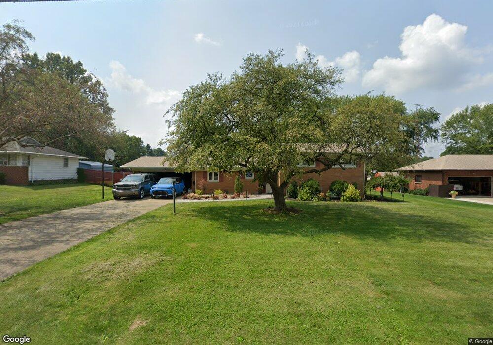
1051 Briarcliff Ave Alliance, OH 44601
Estimated Value: $277,247 - $318,000
4
Beds
5
Baths
2,174
Sq Ft
$138/Sq Ft
Est. Value
About This Home
This home is located at 1051 Briarcliff Ave, Alliance, OH 44601 and is currently estimated at $300,312, approximately $138 per square foot. 1051 Briarcliff Ave is a home located in Stark County with nearby schools including Alliance Early Learning School, Alliance Intermediate School at Northside, and Alliance Middle School.
Ownership History
Date
Name
Owned For
Owner Type
Purchase Details
Closed on
Aug 9, 2013
Sold by
Stanowski James E
Bought by
Atherton Donnie D and Mt Castle James
Current Estimated Value
Purchase Details
Closed on
Mar 16, 2000
Sold by
Henning John E and Henning Maria C
Bought by
Stanowski James E and Stanowski Janet K
Create a Home Valuation Report for This Property
The Home Valuation Report is an in-depth analysis detailing your home's value as well as a comparison with similar homes in the area
Home Values in the Area
Average Home Value in this Area
Purchase History
| Date | Buyer | Sale Price | Title Company |
|---|---|---|---|
| Atherton Donnie D | $147,700 | None Available | |
| Stanowski James E | $142,000 | Quest Title Agency Inc |
Source: Public Records
Tax History Compared to Growth
Tax History
| Year | Tax Paid | Tax Assessment Tax Assessment Total Assessment is a certain percentage of the fair market value that is determined by local assessors to be the total taxable value of land and additions on the property. | Land | Improvement |
|---|---|---|---|---|
| 2025 | -- | $95,410 | $16,940 | $78,470 |
| 2024 | -- | $79,630 | $16,940 | $62,690 |
| 2023 | $2,553 | $63,530 | $15,680 | $47,850 |
| 2022 | $2,570 | $63,530 | $15,680 | $47,850 |
| 2021 | $2,572 | $63,530 | $15,680 | $47,850 |
| 2020 | $2,387 | $55,060 | $13,650 | $41,410 |
| 2019 | $2,353 | $55,060 | $13,650 | $41,410 |
| 2018 | $2,364 | $55,060 | $13,650 | $41,410 |
| 2017 | $2,201 | $50,440 | $11,410 | $39,030 |
| 2016 | $2,247 | $51,070 | $12,670 | $38,400 |
| 2015 | $2,267 | $51,070 | $12,670 | $38,400 |
| 2014 | $89 | $44,800 | $11,130 | $33,670 |
| 2013 | $1,042 | $44,800 | $11,130 | $33,670 |
Source: Public Records
Map
Nearby Homes
- 1201 Overlook Dr
- 1038 Fairview Place
- 970 Kingsway St
- 1321 Parkway Blvd
- 896 Parkway Blvd
- 738 Kingsway St
- 734 Parkway Blvd
- 725 W Summit St
- 1515 S Rockhill Ave
- 884 W College Rd
- 2050 Federal Ave
- 0 W Main St Unit 5090123
- 645 W Summit St
- 2112 Blenheim Ave
- 565 W Broadway St
- 2081 Marwood Cir
- 1430 Westwood Ave
- 2220 Western Ave
- 140 W Summit St
- 345 W Market St
- 1103 Briarcliff Ave
- 1025 Briarcliff Ave
- 1072 Federal Ave
- 1122 Federal Ave
- 1052 Briarcliff Ave
- 1036 Briarcliff Ave
- 1114 Briarcliff Ave
- 1046 Federal Ave
- 1148 Federal Ave
- 1019 Briarcliff Ave
- 1209 Briarcliff Ave
- 1026 Briarcliff Ave
- 1128 Briarcliff Ave
- 1020 Federal Ave
- 1441 Parkside Dr
- 1210 Briarcliff Ave
- 1020 Briarcliff Ave
- 1009 Briarcliff Ave
- 1105 Federal Ave
- 1079 Federal Ave