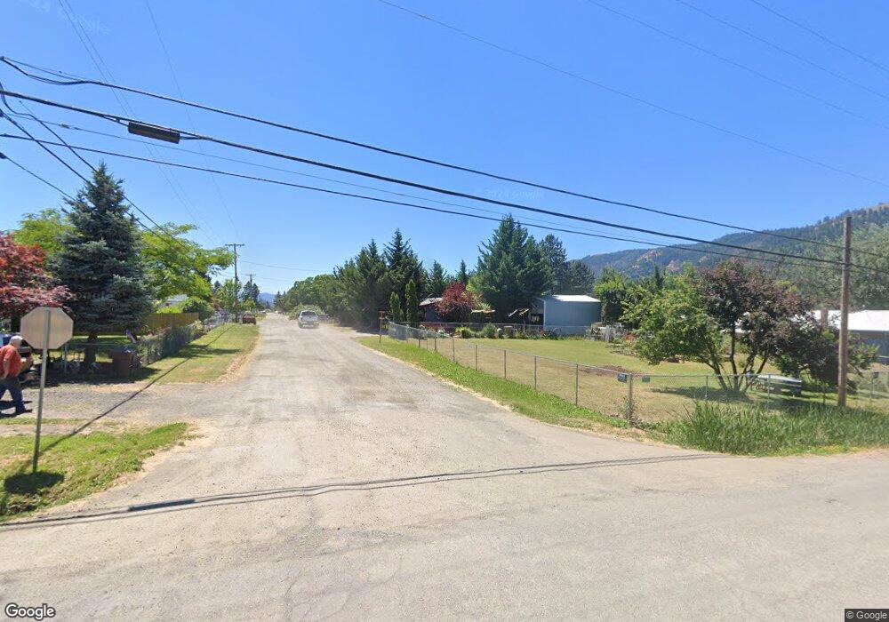
1051 Cornutt St Myrtle Creek, OR 97457
Estimated Value: $244,000 - $268,000
3
Beds
2
Baths
1,296
Sq Ft
$200/Sq Ft
Est. Value
About This Home
This home is located at 1051 Cornutt St, Myrtle Creek, OR 97457 and is currently estimated at $258,743, approximately $199 per square foot. 1051 Cornutt St is a home located in Douglas County with nearby schools including South Umpqua High School.
Ownership History
Date
Name
Owned For
Owner Type
Purchase Details
Closed on
Oct 18, 2025
Sold by
Buchanan Timothy and Buchanan Laura
Bought by
Buchanan Kimberly and Buchanan Timothy
Current Estimated Value
Purchase Details
Closed on
Jun 13, 2008
Sold by
Mcgill Kevin
Bought by
Mcgill Kevin and Mcgill Susan
Purchase Details
Closed on
Jul 13, 2006
Sold by
Laugen William R
Bought by
Smith Randi R and Laugen Randi R
Purchase Details
Closed on
Nov 18, 2003
Sold by
Patterson Robert and Patterson Charlena
Bought by
Laugen William R and Laugen Randi R
Create a Home Valuation Report for This Property
The Home Valuation Report is an in-depth analysis detailing your home's value as well as a comparison with similar homes in the area
Home Values in the Area
Average Home Value in this Area
Purchase History
| Date | Buyer | Sale Price | Title Company |
|---|---|---|---|
| Buchanan Kimberly | -- | None Listed On Document | |
| Mcgill Kevin | -- | None Available | |
| Smith Randi R | -- | Amerititle Inc | |
| Laugen William R | $55,000 | Amerititle Inc |
Source: Public Records
Tax History Compared to Growth
Tax History
| Year | Tax Paid | Tax Assessment Tax Assessment Total Assessment is a certain percentage of the fair market value that is determined by local assessors to be the total taxable value of land and additions on the property. | Land | Improvement |
|---|---|---|---|---|
| 2024 | $1,170 | $122,719 | -- | -- |
| 2023 | $1,134 | $119,145 | $0 | $0 |
| 2022 | $1,108 | $115,675 | $0 | $0 |
| 2021 | $1,071 | $112,306 | $0 | $0 |
| 2020 | $983 | $109,035 | $0 | $0 |
| 2019 | $1,019 | $105,860 | $0 | $0 |
| 2018 | $963 | $102,777 | $0 | $0 |
| 2017 | $846 | $94,456 | $0 | $0 |
| 2016 | $814 | $91,423 | $0 | $0 |
| 2015 | $800 | $89,671 | $0 | $0 |
| 2014 | $872 | $98,326 | $0 | $0 |
| 2013 | -- | $96,241 | $0 | $0 |
Source: Public Records
Map
Nearby Homes
- 1042 Cornutt St
- 190 Walnut St
- 1048 Seeley St
- 1146 Laura St
- 119 Walnut St
- 1030 N Old Pacific Hwy
- 301 Conrad St
- 1110 N Old Pacific Hwy
- 0 N Old Pacific Hwy Unit 293835119
- 1140 Arburnia St
- 972 Arburnia St
- 193 Clark St
- 1313 N Old Pacific Hwy
- 353 Donald Terrace
- 1383 N Old Pacific Hwy
- 184 SE Cordelia Dr
- 639 N Old Pacific Hwy
- 613 Irving Dr
- 0 SE Ardis Ave Unit 7 24085450
- 0 SE Ardis Ave Unit 9 24630388