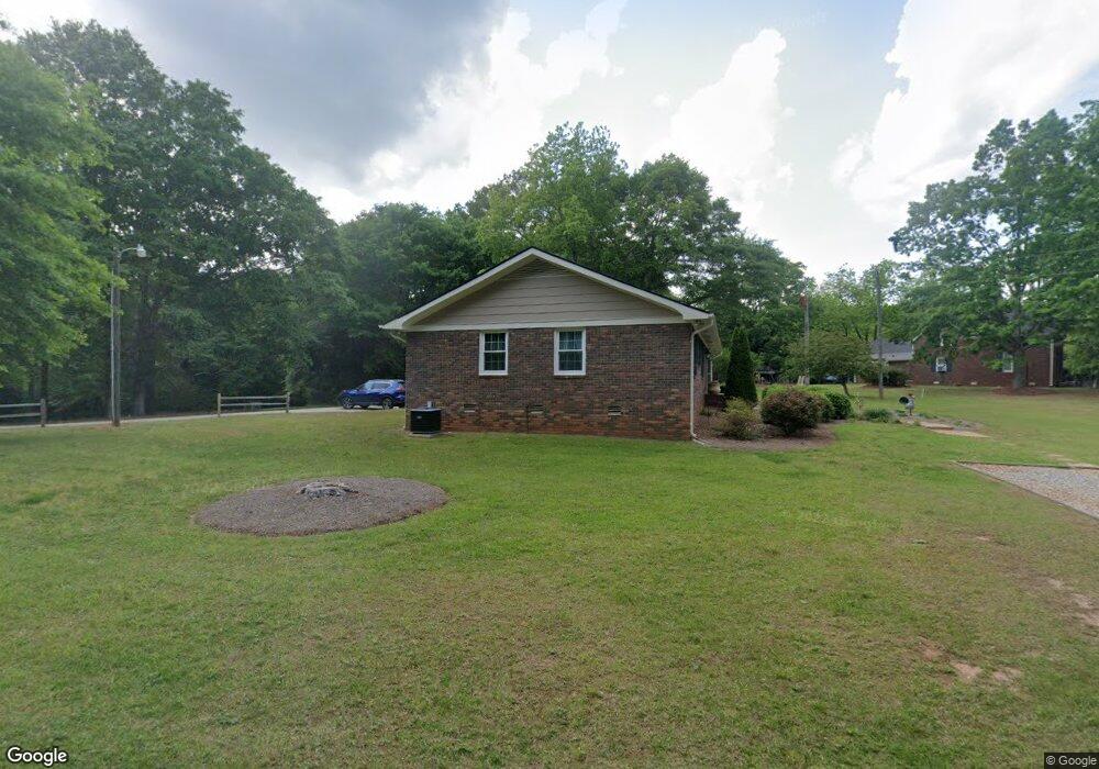
1051 Dean Dr Bogart, GA 30622
Estimated Value: $392,667 - $528,000
--
Bed
--
Bath
1,726
Sq Ft
$263/Sq Ft
Est. Value
About This Home
This home is located at 1051 Dean Dr, Bogart, GA 30622 and is currently estimated at $454,667, approximately $263 per square foot. 1051 Dean Dr is a home located in Oconee County with nearby schools including Malcom Bridge Elementary School, Malcom Bridge Middle School, and North Oconee High School.
Ownership History
Date
Name
Owned For
Owner Type
Purchase Details
Closed on
Sep 21, 2016
Sold by
David A Youngerman
Bought by
Dieleman Gayle
Current Estimated Value
Home Financials for this Owner
Home Financials are based on the most recent Mortgage that was taken out on this home.
Original Mortgage
$156,400
Outstanding Balance
$125,207
Interest Rate
3.5%
Estimated Equity
$329,460
Purchase Details
Closed on
Oct 19, 1993
Sold by
Whitehead Marcellus L
Bought by
Whitehead Ruth D
Create a Home Valuation Report for This Property
The Home Valuation Report is an in-depth analysis detailing your home's value as well as a comparison with similar homes in the area
Home Values in the Area
Average Home Value in this Area
Purchase History
| Date | Buyer | Sale Price | Title Company |
|---|---|---|---|
| Dieleman Gayle | -- | -- | |
| Whitehead Ruth D | -- | -- |
Source: Public Records
Mortgage History
| Date | Status | Borrower | Loan Amount |
|---|---|---|---|
| Open | Dieleman Gayle | $156,400 | |
| Closed | Dieleman Gayle | -- |
Source: Public Records
Tax History Compared to Growth
Tax History
| Year | Tax Paid | Tax Assessment Tax Assessment Total Assessment is a certain percentage of the fair market value that is determined by local assessors to be the total taxable value of land and additions on the property. | Land | Improvement |
|---|---|---|---|---|
| 2024 | $2,280 | $122,021 | $48,390 | $73,631 |
| 2023 | $2,280 | $107,832 | $40,326 | $67,506 |
| 2022 | $2,021 | $94,211 | $36,660 | $57,551 |
| 2021 | $1,849 | $79,861 | $28,866 | $50,995 |
| 2020 | $1,629 | $70,253 | $23,661 | $46,592 |
| 2019 | $1,615 | $69,655 | $23,661 | $45,994 |
| 2018 | $1,503 | $63,456 | $23,661 | $39,795 |
| 2017 | $1,383 | $58,385 | $22,534 | $35,851 |
| 2016 | $1,308 | $55,237 | $20,732 | $34,505 |
| 2015 | $1,302 | $54,848 | $20,732 | $34,116 |
| 2014 | $1,183 | $48,695 | $16,240 | $32,455 |
| 2013 | -- | $45,513 | $15,309 | $30,203 |
Source: Public Records
Map
Nearby Homes
- 1191 Arizona Bend
- 1700 Jimmy Daniel Rd
- 1110 Colorado Bend
- 2232 Orchard Cir
- 3492 Orchard Cir
- 1102 Blackstone Ct
- 2080 Orchard Walk
- 1090 Kenway Dr
- 1266 Orchard Way
- 1011 Meriweather Dr
- 0 Tall Oaks Rd Unit 1027657
- 0 Tall Oaks Rd Unit 1027658
- 0 Tall Oaks Rd Unit 10550493
- 0 Tall Oaks Rd Unit 10550492
- 0 Julian Dr Unit 10476456
- 310 Marlborough Downs Rd
- 1930 New Jimmie Daniel Rd Unit Lot 3
- 1930 New Jimmie Daniel Rd Unit LOT 2
- 425 Classic Rd
- 123 Red Maple Dr
- 1061 Dean Dr
- 0 Silverleaf Rd Unit 8088297
- 0 Silverleaf Rd Unit 8402330
- 0 Silverleaf Rd
- 1613 Jimmy Daniel Rd
- 1251 Arizona Bend
- 0 Silverleaf Rd Unit 7253409
- 0 Silverleaf Rd
- 1101 Silverleaf Rd
- 1100 Silverleaf Rd
- 1261 Arizona Bend
- 1261 Arizona Bend
- 1053 Dean Dr
- 1053 Dean Dr
- 1211 Arizona Bend
- 1271 Arizona Bend
- 0 Arizona Bend
- 1988 Old Jimmie Daniel Rd
- 1271 Arizona Bend
- 1062 Canter Bend Unit 33