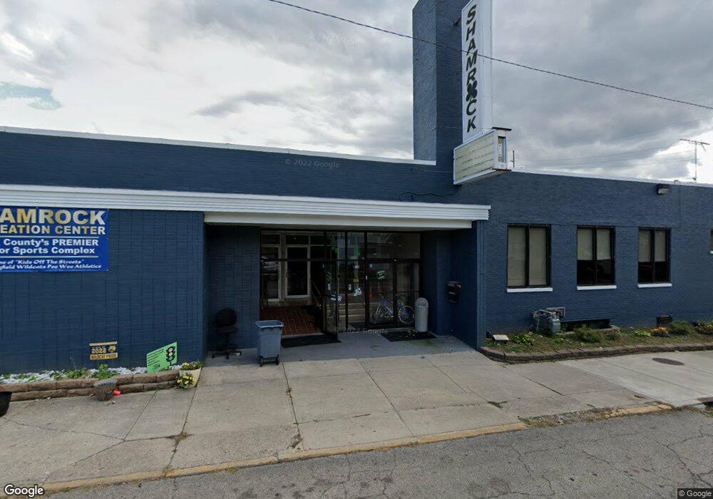
1051 E Main St Springfield, OH 45503
Studio
5
Baths
37,893
Sq Ft
52,272
Sq Ft Lot
About This Home
This home is located at 1051 E Main St, Springfield, OH 45503. 1051 E Main St is a home located in Clark County with nearby schools including Kenwood Elementary School, Schaefer Middle School, and Springfield High School.
Ownership History
Date
Name
Owned For
Owner Type
Purchase Details
Closed on
Jun 12, 2009
Sold by
Sdds Of Hillsboro Llc
Bought by
Springfield Lanes Llc
Home Financials for this Owner
Home Financials are based on the most recent Mortgage that was taken out on this home.
Original Mortgage
$750,000
Outstanding Balance
$469,774
Interest Rate
4.85%
Mortgage Type
Future Advance Clause Open End Mortgage
Purchase Details
Closed on
Oct 13, 2008
Sold by
Sorg Matthew C and Shamrock Recreation Inc
Bought by
Sdds Of Hillsboro Llc
Purchase Details
Closed on
Sep 25, 1991
Sold by
Brien Beth P O
Bought by
Brien Richard P O
Purchase Details
Closed on
Nov 30, 1989
Create a Home Valuation Report for This Property
The Home Valuation Report is an in-depth analysis detailing your home's value as well as a comparison with similar homes in the area
Home Values in the Area
Average Home Value in this Area
Purchase History
| Date | Buyer | Sale Price | Title Company |
|---|---|---|---|
| Springfield Lanes Llc | $850,000 | Attorney | |
| Sdds Of Hillsboro Llc | $200,000 | None Available | |
| Brien Richard P O | $300,000 | -- | |
| -- | -- | -- |
Source: Public Records
Mortgage History
| Date | Status | Borrower | Loan Amount |
|---|---|---|---|
| Open | Springfield Lanes Llc | $750,000 |
Source: Public Records
Tax History
| Year | Tax Paid | Tax Assessment Tax Assessment Total Assessment is a certain percentage of the fair market value that is determined by local assessors to be the total taxable value of land and additions on the property. | Land | Improvement |
|---|---|---|---|---|
| 2025 | $34,888 | $195,170 | $23,190 | $171,980 |
| 2024 | $34,345 | $168,970 | $16,560 | $152,410 |
| 2023 | $19,931 | $168,970 | $16,560 | $152,410 |
| 2022 | $13,094 | $168,970 | $16,560 | $152,410 |
| 2021 | $12,342 | $168,970 | $16,560 | $152,410 |
| 2020 | $13,808 | $168,970 | $16,560 | $152,410 |
| 2019 | $12,373 | $168,970 | $16,560 | $152,410 |
| 2018 | $8,215 | $111,920 | $16,560 | $95,360 |
| 2017 | $8,267 | $111,927 | $16,562 | $95,365 |
| 2016 | $8,225 | $111,927 | $16,562 | $95,365 |
| 2015 | $8,323 | $111,927 | $16,562 | $95,365 |
| 2014 | $8,231 | $111,927 | $16,562 | $95,365 |
| 2013 | $8,046 | $111,927 | $16,562 | $95,365 |
Source: Public Records
Map
Nearby Homes
- 1215 E High St
- 1065 Mound St Unit 1067
- 1105 Farlow St
- 802 Warder St
- 315 Glenn Ave
- 321 Glenn Ave
- 360 S Greenmount Ave
- 1585 Mound St
- 453 E Pleasant St
- 1223 Lagonda Ave
- 1621 Morgan St
- 1664 Warder St
- 718 Summer St
- 1609 Irwin Ave
- 705 York St
- 1721 Prospect St
- 625 Tibbetts Ave
- 803 Laurel St
- 26 N Belmont Ave
- 726 E Madison Ave
- 1050 E Main St
- 1 N Freeman St
- 1109 E Main St
- 1020 E Main St
- 1030 E Main St
- 1069 Mckinley Ave
- 1040 E Main St
- 1051 Mckinley Ave
- 1010 E Main St
- 5 N Freeman St
- 52 S Freeman St Unit 54
- 54 Lincoln Ave
- 58 S Freeman St
- 1100 E Main St Unit 1104
- 9 N Freeman St
- 66 S Freeman St
- 56 Lincoln Ave
- 1112 E Main St
- 13 N Freeman St
- 68 S Freeman St
Your Personal Tour Guide
Ask me questions while you tour the home.