1051 Forrest Hills Dr Bogart, GA 30622
Jennings Mill NeighborhoodEstimated Value: $741,595 - $854,000
--
Bed
--
Bath
2,938
Sq Ft
$270/Sq Ft
Est. Value
About This Home
This home is located at 1051 Forrest Hills Dr, Bogart, GA 30622 and is currently estimated at $793,399, approximately $270 per square foot. 1051 Forrest Hills Dr is a home located in Oconee County with nearby schools including Malcom Bridge Elementary School, Malcom Bridge Middle School, and North Oconee High School.
Ownership History
Date
Name
Owned For
Owner Type
Purchase Details
Closed on
May 9, 2016
Sold by
Russell John T
Bought by
Reaves Martha and Reaves James C
Current Estimated Value
Home Financials for this Owner
Home Financials are based on the most recent Mortgage that was taken out on this home.
Original Mortgage
$187,000
Outstanding Balance
$148,525
Interest Rate
3.59%
Mortgage Type
New Conventional
Estimated Equity
$644,874
Create a Home Valuation Report for This Property
The Home Valuation Report is an in-depth analysis detailing your home's value as well as a comparison with similar homes in the area
Home Values in the Area
Average Home Value in this Area
Purchase History
| Date | Buyer | Sale Price | Title Company |
|---|---|---|---|
| Reaves Martha | $374,000 | -- |
Source: Public Records
Mortgage History
| Date | Status | Borrower | Loan Amount |
|---|---|---|---|
| Open | Reaves Martha | $187,000 |
Source: Public Records
Tax History Compared to Growth
Tax History
| Year | Tax Paid | Tax Assessment Tax Assessment Total Assessment is a certain percentage of the fair market value that is determined by local assessors to be the total taxable value of land and additions on the property. | Land | Improvement |
|---|---|---|---|---|
| 2024 | $3,561 | $234,840 | $43,200 | $191,640 |
| 2023 | $3,979 | $212,944 | $36,000 | $176,944 |
| 2022 | $3,734 | $189,052 | $36,000 | $153,052 |
| 2021 | $3,615 | $171,147 | $36,000 | $135,147 |
| 2020 | $3,333 | $158,731 | $36,000 | $122,731 |
| 2019 | $3,170 | $151,737 | $36,000 | $115,737 |
| 2018 | $3,048 | $143,684 | $36,000 | $107,684 |
| 2017 | $2,894 | $137,184 | $36,000 | $101,184 |
| 2016 | $2,849 | $122,262 | $36,000 | $86,262 |
| 2015 | $2,829 | $121,438 | $36,000 | $85,438 |
| 2014 | -- | $117,810 | $36,000 | $81,810 |
| 2013 | -- | $121,310 | $40,800 | $80,510 |
Source: Public Records
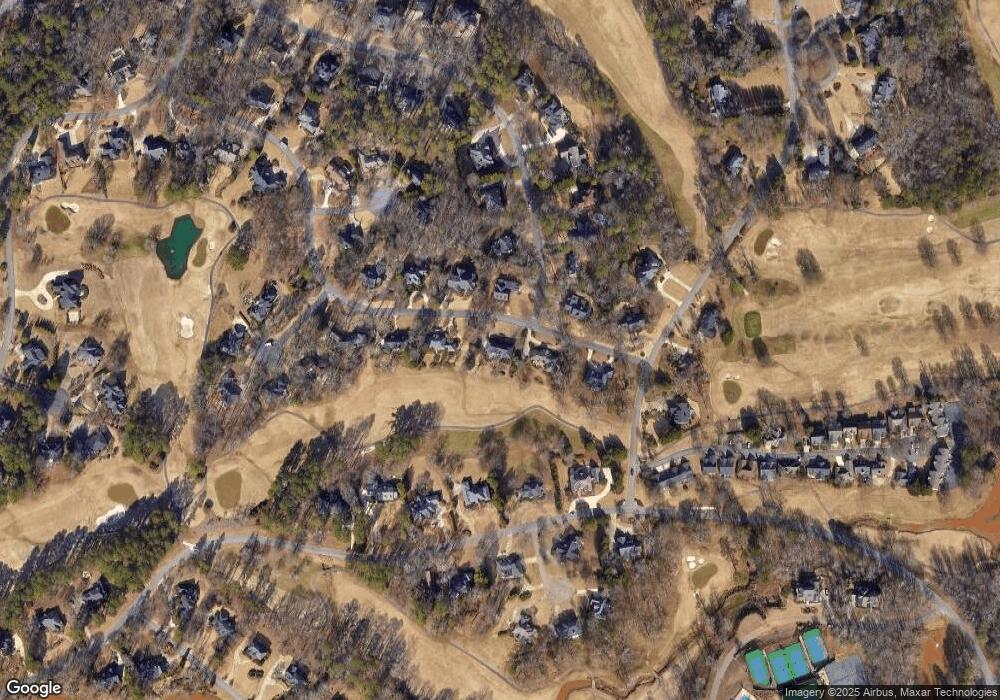
Map
Nearby Homes
- 1261 Meriweather Dr
- 1070 Ramser Dr
- 1030 Chambers Ct
- 238 Covington Place
- 1090 Kenway Dr
- 228 Covington Place
- 1266 Orchard Way
- 355 Commerce Blvd
- 265 Bedford Dr
- 1031 Vend Dr
- 2232 Orchard Cir
- 117 Covington Place
- 1011 Meriweather Dr
- 1020 Tower Place
- 493 Park West Blvd
- 1102 Blackstone Ct
- 1331 Jennings Mill Rd
- 160 Cambridge Dr
- 1051 Forrest Hills Dr
- 1031 Forrest Hills Dr
- 1031 Forrest Hills Dr
- 1071 Forrest Hills Dr
- 1060 Forrest Hills Dr
- 1030 Forrest Hills Dr
- 1091 Forest Hills Dr
- 1091 Forrest Hills Dr
- 1091 Forrest Hills Dr
- 1021 Forrest Hills Dr
- 1031 Ramser Dr
- 1080 Forrest Hills Dr
- 1020 Ramser Dr
- 1020 Ramser Dr
- 1331 Meriweather Dr
- 1090 Forrest Hills Dr
- 1090 Forrest Hills Dr
- 1061 Mcnutt Crossing
- 1311 Meriweather Dr