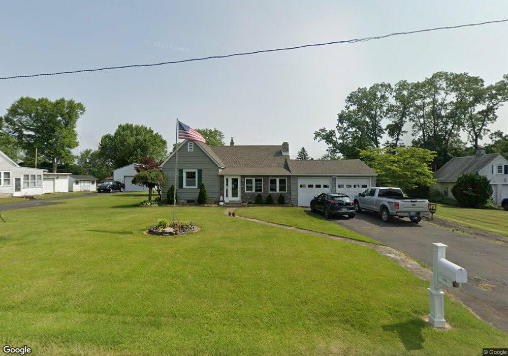
1051 Hawthorne Rd Bensalem, PA 19020
Estimated Value: $291,000 - $423,000
3
Beds
1
Bath
1,295
Sq Ft
$280/Sq Ft
Est. Value
About This Home
This home is located at 1051 Hawthorne Rd, Bensalem, PA 19020 and is currently estimated at $362,484, approximately $279 per square foot. 1051 Hawthorne Rd is a home located in Bucks County with nearby schools including School Lane Charter School, St. Ephrem School, and De La Salle Vocational School.
Ownership History
Date
Name
Owned For
Owner Type
Purchase Details
Closed on
Mar 13, 2019
Sold by
Estate Of James Rigney
Bought by
Rigney David
Current Estimated Value
Purchase Details
Closed on
Aug 30, 2013
Sold by
Rigney Florence
Bought by
Rigney James
Home Financials for this Owner
Home Financials are based on the most recent Mortgage that was taken out on this home.
Original Mortgage
$100,000
Interest Rate
4.53%
Mortgage Type
New Conventional
Purchase Details
Closed on
Sep 14, 1966
Bought by
Rigney Francis H and Rigney Florence
Create a Home Valuation Report for This Property
The Home Valuation Report is an in-depth analysis detailing your home's value as well as a comparison with similar homes in the area
Home Values in the Area
Average Home Value in this Area
Purchase History
| Date | Buyer | Sale Price | Title Company |
|---|---|---|---|
| Rigney David | $160,000 | Bucks Cnty Abstract Svcs Llc | |
| Rigney James | $195,000 | None Available | |
| Rigney Francis H | -- | -- |
Source: Public Records
Mortgage History
| Date | Status | Borrower | Loan Amount |
|---|---|---|---|
| Previous Owner | Rigney James | $100,000 |
Source: Public Records
Tax History Compared to Growth
Tax History
| Year | Tax Paid | Tax Assessment Tax Assessment Total Assessment is a certain percentage of the fair market value that is determined by local assessors to be the total taxable value of land and additions on the property. | Land | Improvement |
|---|---|---|---|---|
| 2025 | $3,580 | $16,400 | $3,320 | $13,080 |
| 2024 | $3,580 | $16,400 | $3,320 | $13,080 |
| 2023 | $3,479 | $16,400 | $3,320 | $13,080 |
| 2022 | $3,459 | $16,400 | $3,320 | $13,080 |
| 2021 | $3,459 | $16,400 | $3,320 | $13,080 |
| 2020 | $3,424 | $16,400 | $3,320 | $13,080 |
| 2019 | $3,348 | $16,400 | $3,320 | $13,080 |
| 2018 | $3,270 | $16,400 | $3,320 | $13,080 |
| 2017 | $3,250 | $16,400 | $3,320 | $13,080 |
| 2016 | $3,250 | $16,400 | $3,320 | $13,080 |
| 2015 | -- | $16,400 | $3,320 | $13,080 |
| 2014 | -- | $16,400 | $3,320 | $13,080 |
Source: Public Records
Map
Nearby Homes
- 1100 Wayland Ave
- 4783 Meeting Rd
- 953 Farley Rd
- 446 N Mount Vernon Cir Unit 446
- 938 Ashton Rd
- 435 N Mount Vernon Cir Unit 435
- 419 Rutgers Ct
- 393 Rutgers Ct Unit 393
- 389 Rutgers Ct Unit 389
- 580 S Mount Vernon Cir
- 5110 Bay Rd
- 5107 Leeward Rd
- 5102 Lighthouse Ln
- 5217 Bay Rd
- 801 Cliff Rd
- 1440 Atterbury Way
- 4744 Dunston Rd
- L:15 Dunston Rd
- 3300 Newportville Rd
- 0 Newportville Rd Unit PABU487252
- 1063 Hawthorne Rd
- 1033 Hawthorne Rd
- 1105 Hawthorne Rd
- 1052 Wayland Ave
- 1038 Wayland Ave
- 1048 Hawthorne Rd
- 1062 Hawthorne Rd
- 1036 Hawthorne Rd
- 4846 Bensalem Blvd
- 1074 Hawthorne Rd
- 4832 Bensalem Blvd
- 1113 Hawthorne Rd
- 4862 Bensalem Blvd
- 4814 Bensalem Blvd
- 1114 Wayland Ave
- 1106 Hawthorne Rd
- 1018 Wayland Ave
- 4804 Bensalem Blvd
- 1125 Hawthorne Rd
- 1049 Wayland Ave