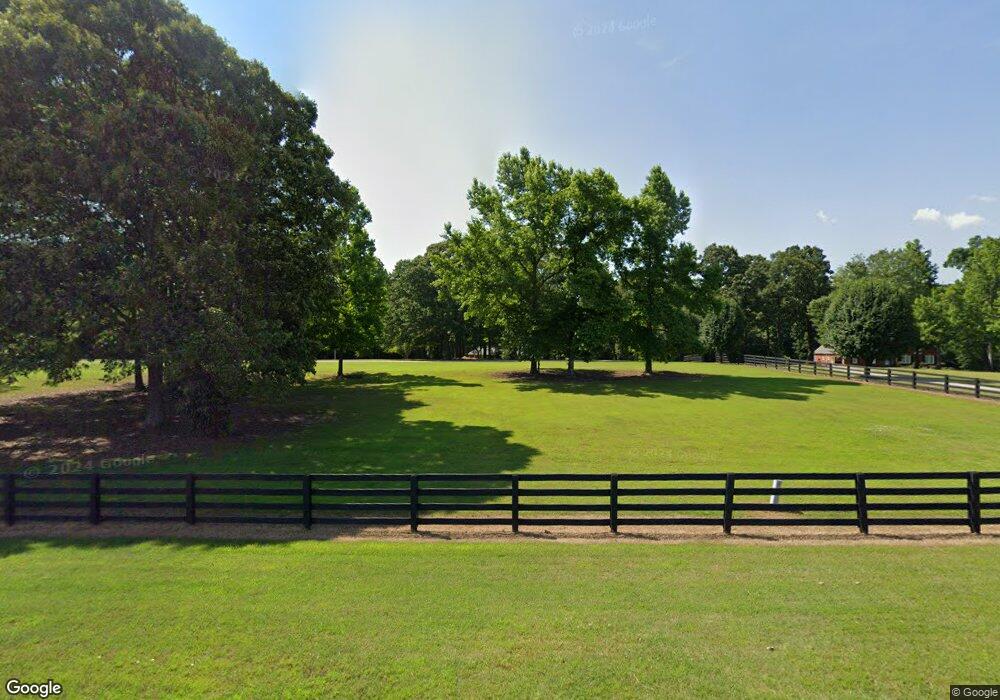
1051 Highway 174 Danielsville, GA 30633
Estimated Value: $435,000 - $667,000
3
Beds
2
Baths
2,081
Sq Ft
$258/Sq Ft
Est. Value
About This Home
This home is located at 1051 Highway 174, Danielsville, GA 30633 and is currently estimated at $536,291, approximately $257 per square foot. 1051 Highway 174 is a home located in Madison County with nearby schools including Madison County High School and Union Christian Academy.
Ownership History
Date
Name
Owned For
Owner Type
Purchase Details
Closed on
Feb 12, 2016
Sold by
Galloway Larry E
Bought by
Westbrook Harvey H and Westbrook Janet P
Current Estimated Value
Purchase Details
Closed on
May 1, 2008
Sold by
Hatfield Hershel
Bought by
Galloway Larry
Create a Home Valuation Report for This Property
The Home Valuation Report is an in-depth analysis detailing your home's value as well as a comparison with similar homes in the area
Home Values in the Area
Average Home Value in this Area
Purchase History
| Date | Buyer | Sale Price | Title Company |
|---|---|---|---|
| Westbrook Harvey H | $283,000 | -- | |
| Galloway Larry | $219,188 | -- |
Source: Public Records
Tax History Compared to Growth
Tax History
| Year | Tax Paid | Tax Assessment Tax Assessment Total Assessment is a certain percentage of the fair market value that is determined by local assessors to be the total taxable value of land and additions on the property. | Land | Improvement |
|---|---|---|---|---|
| 2024 | $3,615 | $156,901 | $39,989 | $116,912 |
| 2023 | $4,380 | $143,482 | $33,324 | $110,158 |
| 2022 | $2,841 | $121,007 | $22,911 | $98,096 |
| 2021 | $2,506 | $100,091 | $22,911 | $77,180 |
| 2020 | $2,667 | $96,758 | $19,578 | $77,180 |
| 2019 | -- | $95,348 | $19,578 | $75,770 |
| 2018 | -- | $92,860 | $17,912 | $74,948 |
| 2017 | -- | $69,638 | $16,662 | $52,976 |
| 2016 | $1,762 | $63,374 | $16,662 | $46,712 |
Source: Public Records
Map
Nearby Homes
- 15 Pine St
- 590 Langford Carey Rd
- 287 Pine St
- 0 Kirk Langford Rd Unit 7671084
- 0 Kirk Langford Rd Unit 10630817
- 886 Hudson Rivers Church Rd
- 125 Rock St
- 4274 Highway 98 W
- 0 Highway 29 N Unit 10525658
- 5492 Georgia 98
- 0 Carey-Ford Rd
- 84 Woodpecker Point
- 135 Woodpecker Point
- 135 Woodpecker Pte
- 0-TRACT 3 Drake Woods Rd
- 00 Georgia 174 Unit 1
- 404 Haggard Dr
- 197 Joan Smith Rd
- 266 Water Oak Rd
- 5591 Jot Em Down Rd
- 1051 Georgia 174
- 1055 Highway 174
- 939 Highway 174
- 869 Georgia 174
- 869 Highway 174
- 869 Georgia 174
- 817 Highway 174
- 194 Poca Rd
- 2888 Friendship Church Rd
- 202 Stella Henley Rd
- 270 Stella Henley Rd
- 1331 Highway 174
- 255 Poca Rd
- 266 Poca Rd
- 1222 Highway 174
- 1050 Highway 174
- 2895 Friendship Church Rd
- 340 Stella Henley Rd
- 153 Stella Henley Rd
- 404 Stella Henley Rd
