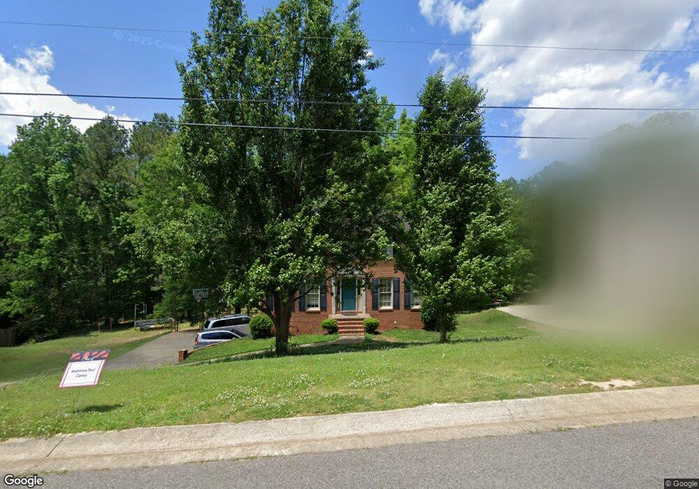
1051 Independence Ct Alabaster, AL 35007
Estimated Value: $311,000 - $340,000
--
Bed
2
Baths
2,016
Sq Ft
$162/Sq Ft
Est. Value
About This Home
This home is located at 1051 Independence Ct, Alabaster, AL 35007 and is currently estimated at $325,678, approximately $161 per square foot. 1051 Independence Ct is a home located in Shelby County with nearby schools including Thompson Intermediate School, Thompson Middle School, and Thompson High School.
Ownership History
Date
Name
Owned For
Owner Type
Purchase Details
Closed on
Jul 21, 2003
Sold by
Sangilantonio James N and Sangilantonio Beverly K
Bought by
Casey Barry P and Casey Tonja J
Current Estimated Value
Home Financials for this Owner
Home Financials are based on the most recent Mortgage that was taken out on this home.
Original Mortgage
$126,400
Outstanding Balance
$53,334
Interest Rate
5.16%
Mortgage Type
Unknown
Estimated Equity
$272,344
Purchase Details
Closed on
Aug 1, 2002
Sold by
Lantrip Douglas M and Lantrip Gail E
Bought by
Sangilantonio James N and Sangilantonio Beverly K
Home Financials for this Owner
Home Financials are based on the most recent Mortgage that was taken out on this home.
Original Mortgage
$153,350
Interest Rate
6.52%
Mortgage Type
VA
Purchase Details
Closed on
Jun 8, 2000
Sold by
Frank Moore Kenneth and Antony Kristi Antony
Bought by
Lantrip Douglas M and Lantrip Gail E
Create a Home Valuation Report for This Property
The Home Valuation Report is an in-depth analysis detailing your home's value as well as a comparison with similar homes in the area
Home Values in the Area
Average Home Value in this Area
Purchase History
| Date | Buyer | Sale Price | Title Company |
|---|---|---|---|
| Casey Barry P | $158,000 | -- | |
| Sangilantonio James N | $148,900 | -- | |
| Lantrip Douglas M | $133,000 | -- |
Source: Public Records
Mortgage History
| Date | Status | Borrower | Loan Amount |
|---|---|---|---|
| Open | Casey Barry P | $126,400 | |
| Previous Owner | Sangilantonio James N | $153,350 | |
| Closed | Casey Barry P | $23,700 |
Source: Public Records
Tax History Compared to Growth
Tax History
| Year | Tax Paid | Tax Assessment Tax Assessment Total Assessment is a certain percentage of the fair market value that is determined by local assessors to be the total taxable value of land and additions on the property. | Land | Improvement |
|---|---|---|---|---|
| 2024 | $1,464 | $27,120 | $0 | $0 |
| 2023 | $1,299 | $24,820 | $0 | $0 |
| 2022 | $1,247 | $23,860 | $0 | $0 |
| 2021 | $1,092 | $20,980 | $0 | $0 |
| 2020 | $1,025 | $19,740 | $0 | $0 |
| 2019 | $947 | $18,300 | $0 | $0 |
| 2017 | $890 | $17,240 | $0 | $0 |
| 2015 | $849 | $16,480 | $0 | $0 |
| 2014 | $827 | $16,080 | $0 | $0 |
Source: Public Records
Map
Nearby Homes
- 1910 Amberley Woods Trail
- 1909 Amberley Woods Trail
- 1121 Colonial Dr
- 1445 Sequoia Trail
- 1117 Amberley Woods Dr
- 105 Acorn Cir
- 152 Roy Ct
- 2916 Dublin Dr N
- 100 Cape Cod Cir
- 1514 Timber Dr
- 1445 Navajo Trail
- 2236 Pup Run
- 231 Hickory Point Ln
- 2234 Pup Run
- 905 Navajo Trail
- 6025 Woodvale Ct
- 1317 W Navajo Dr
- 204 Portsouth Ln
- 225 Portsouth Ln
- 207 Rocky Ridge Dr
- 1049 Independence Ct
- 1053 Independence Ct
- 1047 Independence Ct
- 1055 Independence Ct
- 1048 Independence Ct
- 1046 Independence Ct
- 1050 Independence Ct
- 1103 Walnut Cir
- 1045 Independence Ct
- 1057 Independence Ct
- 1052 Independence Ct
- 1101 Walnut Cir
- 1043 Independence Ct
- 1054 Independence Ct
- 1824 Amberley Woods Way
- 1042 Independence Ct
- 1816 Amberley Woods Way
- 1821 Amberley Woods Way
- 1121 Independence Dr
- 1119 Independence Dr