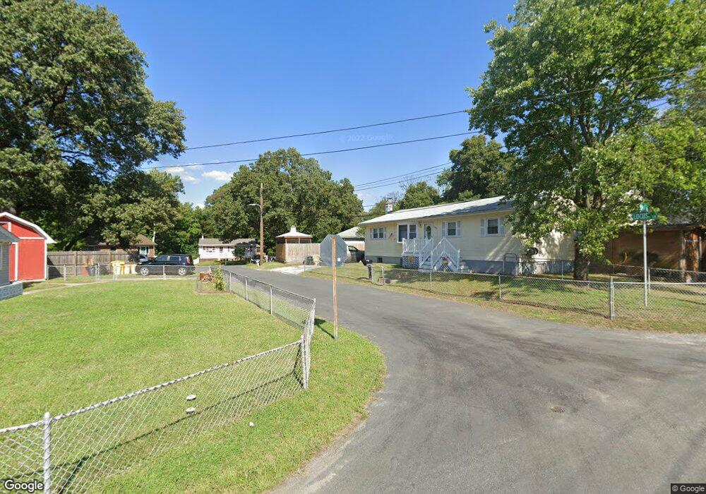
1051 Locust Ln Pasadena, MD 21122
Green Haven NeighborhoodEstimated Value: $250,800 - $399,000
Studio
1
Bath
672
Sq Ft
$484/Sq Ft
Est. Value
About This Home
This home is located at 1051 Locust Ln, Pasadena, MD 21122 and is currently estimated at $325,200, approximately $483 per square foot. 1051 Locust Ln is a home located in Anne Arundel County with nearby schools including High Point Elementary School, Northeast Middle School, and Northeast High School.
Ownership History
Date
Name
Owned For
Owner Type
Purchase Details
Closed on
Jul 15, 2016
Sold by
Thompson Diana P and Hawkins Diana P
Bought by
Oliver Alicia and Oliver John C
Current Estimated Value
Home Financials for this Owner
Home Financials are based on the most recent Mortgage that was taken out on this home.
Original Mortgage
$144,651
Interest Rate
3.54%
Mortgage Type
Purchase Money Mortgage
Purchase Details
Closed on
Mar 15, 2000
Sold by
Taylor Melvin P
Bought by
Hawkins Diana P
Create a Home Valuation Report for This Property
The Home Valuation Report is an in-depth analysis detailing your home's value as well as a comparison with similar homes in the area
Home Values in the Area
Average Home Value in this Area
Purchase History
| Date | Buyer | Sale Price | Title Company |
|---|---|---|---|
| Oliver Alicia | $140,000 | Absolute Title Group Inc | |
| Hawkins Diana P | -- | -- |
Source: Public Records
Mortgage History
| Date | Status | Borrower | Loan Amount |
|---|---|---|---|
| Closed | Oliver Alicia | $144,651 |
Source: Public Records
Tax History
| Year | Tax Paid | Tax Assessment Tax Assessment Total Assessment is a certain percentage of the fair market value that is determined by local assessors to be the total taxable value of land and additions on the property. | Land | Improvement |
|---|---|---|---|---|
| 2025 | $3,192 | $246,300 | -- | -- |
| 2024 | $3,192 | $245,600 | $176,700 | $68,900 |
| 2023 | $3,086 | $239,233 | $0 | $0 |
| 2022 | $2,864 | $232,867 | $0 | $0 |
| 2020 | $2,564 | $208,067 | $0 | $0 |
| 2019 | $2,373 | $189,633 | $0 | $0 |
| 2018 | $1,736 | $171,200 | $115,200 | $56,000 |
| 2017 | $2,017 | $160,367 | $0 | $0 |
| 2016 | -- | $149,533 | $0 | $0 |
| 2015 | -- | $138,700 | $0 | $0 |
| 2014 | -- | $138,700 | $0 | $0 |
Source: Public Records
Map
Nearby Homes
- 7665 Cedar Dr
- 7662 Pine Haven Dr
- 7686 Briar Ln
- 7722 Vena Ct
- 7715 Woodlawn Ave
- 7713 Woodlawn Ave
- 852 Riverside Dr
- 925 Longview Ave
- 969 10th St
- 941 8th St
- 8649 Cobscook Harbour
- 8700 Scorton Harbour
- 1042 Cape Splitt Harbour
- 7759 Glen Ave
- 1056 Saybrook Harbour
- 7707 Lake Cir
- 961 Mount Desert Harbour
- 813 201st St
- 811 203rd St
- 809 203rd St
- 1053 Locust Ln
- 7691 Oak Ln
- 7689 Oak Ln
- 1052 Nettlebed Ct
- 1055 Locust Ln
- 1050 Nettlebed Ct
- 1059 Locust Ln
- 1054 Nettlebed Ct
- 7687 Oak Ln
- 7679 Pine Haven Dr
- 7677 Pine Haven Dr
- 7688 Oak Ln
- 7675 Pine Haven Dr
- 7686 Oak Ln
- 7690 Oak Ln
- 7692 Queens Park Rd
- 7673 Pine Haven Dr
- 7689 Pine Haven Dr
- 7667 Pine Haven Dr
- 1055 Nettlebed Ct
Your Personal Tour Guide
Ask me questions while you tour the home.