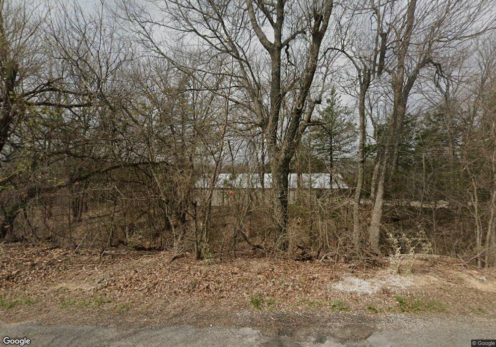
1051 Mayes Dr Sherman, TX 75090
Estimated Value: $1,105,475
--
Bed
--
Bath
2,380
Sq Ft
$464/Sq Ft
Est. Value
About This Home
This home is located at 1051 Mayes Dr, Sherman, TX 75090 and is currently estimated at $1,105,475, approximately $464 per square foot. 1051 Mayes Dr is a home with nearby schools including Percy W. Neblett Elementary School, Dillingham Intermediate School, and Piner Middle School.
Ownership History
Date
Name
Owned For
Owner Type
Purchase Details
Closed on
Jul 17, 2020
Sold by
Arnold John P
Bought by
Highway 69 Storage Llc
Current Estimated Value
Home Financials for this Owner
Home Financials are based on the most recent Mortgage that was taken out on this home.
Original Mortgage
$600,000
Outstanding Balance
$532,040
Interest Rate
3.1%
Mortgage Type
Purchase Money Mortgage
Estimated Equity
$573,435
Purchase Details
Closed on
Sep 13, 2019
Sold by
Jones James P and Jones Davil Earlene
Bought by
Texan Platinum Homes Llc
Purchase Details
Closed on
Mar 21, 2016
Sold by
Porter John M
Bought by
Lasko Donald W
Home Financials for this Owner
Home Financials are based on the most recent Mortgage that was taken out on this home.
Original Mortgage
$42,461
Interest Rate
3.65%
Mortgage Type
New Conventional
Create a Home Valuation Report for This Property
The Home Valuation Report is an in-depth analysis detailing your home's value as well as a comparison with similar homes in the area
Home Values in the Area
Average Home Value in this Area
Purchase History
| Date | Buyer | Sale Price | Title Company |
|---|---|---|---|
| Highway 69 Storage Llc | -- | Grayson County Title | |
| Texan Platinum Homes Llc | -- | Grayson County Title | |
| Lasko Donald W | -- | Red River Title Co |
Source: Public Records
Mortgage History
| Date | Status | Borrower | Loan Amount |
|---|---|---|---|
| Open | Highway 69 Storage Llc | $600,000 | |
| Previous Owner | Lasko Donald W | $42,461 |
Source: Public Records
Tax History Compared to Growth
Tax History
| Year | Tax Paid | Tax Assessment Tax Assessment Total Assessment is a certain percentage of the fair market value that is determined by local assessors to be the total taxable value of land and additions on the property. | Land | Improvement |
|---|---|---|---|---|
| 2025 | $3,719 | $340,070 | -- | -- |
| 2024 | $5,222 | $309,170 | $0 | $0 |
| 2023 | $3,242 | $281,271 | $0 | $0 |
| 2022 | $4,804 | $255,835 | $0 | $0 |
| 2021 | $4,707 | $315,653 | $10,779 | $304,874 |
| 2020 | $4,538 | $250,581 | $11,073 | $239,508 |
| 2019 | $4,321 | $190,060 | $8,311 | $181,749 |
| 2018 | $1,969 | $94,327 | $7,344 | $86,983 |
| 2017 | $35 | $1,685 | $1,685 | $0 |
| 2016 | $31 | $1,459 | $1,459 | $0 |
| 2015 | $0 | $2,169 | $2,169 | $0 |
| 2014 | -- | $2,177 | $2,177 | $0 |
Source: Public Records
Map
Nearby Homes
- 22.278 Acres Baker Ridge Rd
- 2493 Baker Ridge Rd
- 9426 Dripping Spring Rd
- 9436 Dripping Spring Rd
- 9408 Dripping Spring Rd
- 9386 Dripping Spring Rd
- 4517 Playa Ct
- TBD 1 Dripping Spring Rd
- 4605 Dripping Spring Rd
- 492 Russell Ln
- 5585 S Fannin Ave
- 327 Russell Ln
- 257 Russell Ln
- 235 Magnus Rd
- 4604 Bello Vista Cir
- 3421 Tomahawk Dr
- 3416 Rendezvous Way
- 3426 Tomahawk Dr
- 312 Magnus Rd
- 3422 Tomahawk Dr
- TBD Mayes Dr
- Lot 5 Mayes Dr
- 2115 Mayes Dr
- 11ac Mayes Dr
- 825 Mayes Dr
- 1925 Baker Ridge Rd Unit 1937
- 2182 Baker Ridge Rd
- 1264 Junction Rd
- 1865 Baker Ridge Rd
- 2442 Baker Ridge Rd
- 1811 Baker Ridge Rd
- 1968 Baker Ridge Rd
- 1526 Mayes Dr
- 1908 Baker Ridge Rd
- 2506 Baker Ridge Rd
- 1583 Mayes Dr
- 1824 Baker Ridge Rd
- 1655 Mayes Dr
- 6.53 Acres Junction
- 1640 Mayes Dr
