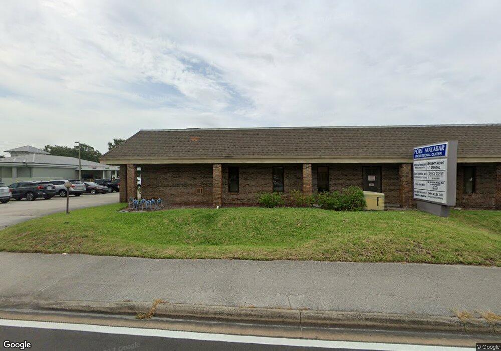
1051 Port Malabar Blvd NE Unit 6 Palm Bay, FL 32905
Port Malabar NeighborhoodEstimated Value: $779,868
--
Bed
--
Bath
3,913
Sq Ft
$199/Sq Ft
Est. Value
About This Home
This home is located at 1051 Port Malabar Blvd NE Unit 6, Palm Bay, FL 32905 and is currently estimated at $779,868, approximately $199 per square foot. 1051 Port Malabar Blvd NE Unit 6 is a home located in Brevard County with nearby schools including Riviera Elementary School, Stone Magnet Middle School, and Palm Bay Magnet Senior High School.
Ownership History
Date
Name
Owned For
Owner Type
Purchase Details
Closed on
May 15, 2023
Sold by
Gary M Weiss And Gary M Weiss Md Pa
Bought by
Ap Real Estate Holdings Llc
Current Estimated Value
Home Financials for this Owner
Home Financials are based on the most recent Mortgage that was taken out on this home.
Original Mortgage
$935,000
Outstanding Balance
$908,811
Interest Rate
6.35%
Estimated Equity
-$128,943
Create a Home Valuation Report for This Property
The Home Valuation Report is an in-depth analysis detailing your home's value as well as a comparison with similar homes in the area
Home Values in the Area
Average Home Value in this Area
Purchase History
| Date | Buyer | Sale Price | Title Company |
|---|---|---|---|
| Ap Real Estate Holdings Llc | $1,100,000 | Precise Title |
Source: Public Records
Mortgage History
| Date | Status | Borrower | Loan Amount |
|---|---|---|---|
| Open | Ap Real Estate Holdings Llc | $935,000 |
Source: Public Records
Tax History Compared to Growth
Tax History
| Year | Tax Paid | Tax Assessment Tax Assessment Total Assessment is a certain percentage of the fair market value that is determined by local assessors to be the total taxable value of land and additions on the property. | Land | Improvement |
|---|---|---|---|---|
| 2025 | $5,444 | $345,120 | -- | -- |
| 2024 | $2,737 | $287,600 | -- | -- |
| 2023 | $2,737 | $137,660 | $0 | $0 |
| 2022 | $2,515 | $125,160 | $0 | $0 |
| 2021 | $2,429 | $113,770 | $0 | $113,770 |
| 2020 | $2,422 | $113,770 | $0 | $113,770 |
| 2019 | $2,831 | $110,460 | $0 | $110,460 |
| 2018 | $2,831 | $110,460 | $0 | $110,460 |
| 2017 | $2,954 | $110,460 | $0 | $110,460 |
| 2016 | $2,441 | $105,200 | $0 | $0 |
| 2015 | $2,509 | $105,200 | $0 | $0 |
| 2014 | $2,549 | $105,190 | $0 | $0 |
Source: Public Records
Map
Nearby Homes
- 1825 Market Cir NE
- 1647 Avery Rd NE
- 1698 Sunny Brook Ln NE Unit G203
- 1698 Sunny Brook Ln NE Unit 206
- 1680 Sunny Brook Ln NE Unit 103
- 1600 Sunny Brook Ln NE Unit F108
- 840 Hawks Ridge Ct NE
- 790 Aragon Ave NE
- 1640 Sunny Brook Ln NE Unit A203
- 1624 Sunny Brook Ln NE Unit 203
- 1460 Par St NE
- 1805 Shayne Ln NE
- 609 Cedar Side Cir NE
- 815 Brae Ct NE
- 1617 Sunny Brook Ln NE Unit F103
- 1609 Sunny Brook Ln NE Unit 102
- 950 Hooper Ave NE
- 1573 Par St NE
- 1238 Port Malabar Blvd NE
- 1994 Mark Twain Ln NE
- 1051 Port Malabar Blvd NE Unit 4
- 1051 Port Malabar Blvd NE Unit 1
- 1051 Port Malabar Blvd NE Unit 5
- 1051 Port Malabar Blvd NE Unit 3
- 1051 Port Malabar Blvd NE Unit 2
- 5205 Babcock St NE Unit 7
- 5205 Babcock St NE
- 5205 Babcock St NE Unit 4
- 1071 Port Malabar Blvd NE
- 1071 Port Malabar Blvd NE Unit 206
- 5201 Babcock St NE Unit 2
- 5201 Babcock St NE Unit 1
- 5201 Babcock St NE Unit 3
- 4603 Babcock St NE
- 1690 Avery Rd NE
- 1692 Avery Rd NE
- 1694 Avery Rd NE
- 1696 Avery Rd NE
- 1698 Avery Rd NE Unit 5
- 1688 Avery Rd NE