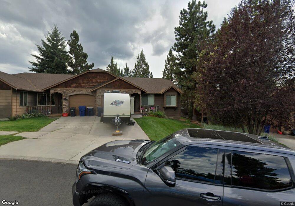
1051 SW Crosscut Ct Bend, OR 97702
Southern Crossing NeighborhoodEstimated Value: $492,650 - $689,000
2
Beds
2
Baths
1,164
Sq Ft
$482/Sq Ft
Est. Value
About This Home
This home is located at 1051 SW Crosscut Ct, Bend, OR 97702 and is currently estimated at $560,663, approximately $481 per square foot. 1051 SW Crosscut Ct is a home located in Deschutes County with nearby schools including Pine Ridge Elementary School, Cascade Middle School, and Bend Senior High School.
Ownership History
Date
Name
Owned For
Owner Type
Purchase Details
Closed on
Sep 19, 2006
Sold by
Neilson Maia S and Wilkins Kelly R
Bought by
Ronay Marianne
Current Estimated Value
Purchase Details
Closed on
Apr 12, 2005
Sold by
Eagle Land & Development Llc
Bought by
Neilson Maia S and Wilkins Kelly R
Home Financials for this Owner
Home Financials are based on the most recent Mortgage that was taken out on this home.
Original Mortgage
$147,920
Interest Rate
6.12%
Mortgage Type
Unknown
Create a Home Valuation Report for This Property
The Home Valuation Report is an in-depth analysis detailing your home's value as well as a comparison with similar homes in the area
Home Values in the Area
Average Home Value in this Area
Purchase History
| Date | Buyer | Sale Price | Title Company |
|---|---|---|---|
| Ronay Marianne | $290,000 | First Amer Title Ins Co Or | |
| Neilson Maia S | $184,900 | First Amer Title Ins Co Or |
Source: Public Records
Mortgage History
| Date | Status | Borrower | Loan Amount |
|---|---|---|---|
| Previous Owner | Neilson Maia S | $147,920 |
Source: Public Records
Tax History Compared to Growth
Tax History
| Year | Tax Paid | Tax Assessment Tax Assessment Total Assessment is a certain percentage of the fair market value that is determined by local assessors to be the total taxable value of land and additions on the property. | Land | Improvement |
|---|---|---|---|---|
| 2025 | $3,134 | $185,470 | -- | -- |
| 2024 | $3,015 | $180,070 | -- | -- |
| 2023 | $2,795 | $174,830 | $0 | $0 |
| 2022 | $2,608 | $164,800 | $0 | $0 |
| 2021 | $2,612 | $160,000 | $0 | $0 |
| 2020 | $2,478 | $160,000 | $0 | $0 |
| 2019 | $2,409 | $155,340 | $0 | $0 |
| 2018 | $2,341 | $150,820 | $0 | $0 |
| 2017 | $2,272 | $146,430 | $0 | $0 |
| 2016 | $2,167 | $142,170 | $0 | $0 |
| 2015 | $2,107 | $138,030 | $0 | $0 |
| 2014 | $2,045 | $134,010 | $0 | $0 |
Source: Public Records
Map
Nearby Homes
- 1063 SW Crosscut Ct
- 977 SW Hill St
- 8 SW Mckinley Ave
- 757 SW Pelton Place Unit 7
- 195 SE Roosevelt Ave
- 624 SW Hill St
- 334 SW Roosevelt Ave Unit 3
- 617 SW Peak View Place
- 1217 SW Tanner Ct
- 1175 SW Chamberlain St
- 530 SE 3rd St
- 1283 SW Mill Pond Place Unit 100 200 300
- 20490 SE Braelen Ln
- 477 SE Roosevelt Ave
- 61528 Parrell Rd
- 892 SW Theater Dr
- 20488 SE Byron Ave
- 20525 Reed Market Rd
- 363 SW Bluff Dr Unit 103
- 61531 SE Jennifer Ln Unit 1 & 2
- 1045 SW Crosscut Ct
- 1057 SW Crosscut Ct
- 1039 SW Crosscut Ct
- 1033 SW Crosscut Ct
- 1058 SW Crosscut Ct
- 1016 SW Crosscut Ct
- 1021 SW Crosscut Ct
- 1052 SW Crosscut Ct
- 35 SW Cleveland Ave
- 1015 SW Crosscut Ct
- 25 SW Cleveland Ave
- 1004 SW Crosscut Ct
- 1009 SW Crosscut Ct
- 11 SW Cleveland Ave
- 9 SW Cleveland Ave
- 5 SW Cleveland Ave
- 15 SW Cleveland Ave
- 1003 SW Crosscut Ct
- 91 SW Cleveland Ave