10510 Knapp Rd Albion, PA 16401
Estimated Value: $250,000 - $336,000
3
Beds
2
Baths
2,080
Sq Ft
$147/Sq Ft
Est. Value
About This Home
This home is located at 10510 Knapp Rd, Albion, PA 16401 and is currently estimated at $304,811, approximately $146 per square foot. 10510 Knapp Rd is a home located in Erie County with nearby schools including Northwestern Senior High School.
Ownership History
Date
Name
Owned For
Owner Type
Purchase Details
Closed on
Sep 15, 2000
Sold by
Palermo Raymond
Bought by
Pruchniewski Joseph M and Pruchniewski Jennifer J
Current Estimated Value
Home Financials for this Owner
Home Financials are based on the most recent Mortgage that was taken out on this home.
Original Mortgage
$24,000
Outstanding Balance
$8,995
Interest Rate
8.5%
Mortgage Type
Seller Take Back
Estimated Equity
$295,816
Create a Home Valuation Report for This Property
The Home Valuation Report is an in-depth analysis detailing your home's value as well as a comparison with similar homes in the area
Purchase History
| Date | Buyer | Sale Price | Title Company |
|---|---|---|---|
| Pruchniewski Joseph M | $29,900 | -- |
Source: Public Records
Mortgage History
| Date | Status | Borrower | Loan Amount |
|---|---|---|---|
| Open | Pruchniewski Joseph M | $24,000 |
Source: Public Records
Tax History
| Year | Tax Paid | Tax Assessment Tax Assessment Total Assessment is a certain percentage of the fair market value that is determined by local assessors to be the total taxable value of land and additions on the property. | Land | Improvement |
|---|---|---|---|---|
| 2025 | $3,918 | $189,700 | $43,500 | $146,200 |
| 2024 | $3,832 | $189,700 | $43,500 | $146,200 |
| 2023 | $3,445 | $189,700 | $43,500 | $146,200 |
| 2022 | $3,393 | $189,700 | $43,500 | $146,200 |
| 2021 | $3,348 | $189,700 | $43,500 | $146,200 |
| 2020 | $3,301 | $189,700 | $43,500 | $146,200 |
| 2019 | $3,234 | $189,700 | $43,500 | $146,200 |
| 2018 | $3,111 | $189,700 | $43,500 | $146,200 |
| 2017 | $3,111 | $189,700 | $43,500 | $146,200 |
| 2016 | $3,682 | $189,700 | $43,500 | $146,200 |
| 2015 | $3,634 | $189,700 | $43,500 | $146,200 |
| 2014 | $1,965 | $189,700 | $43,500 | $146,200 |
Source: Public Records
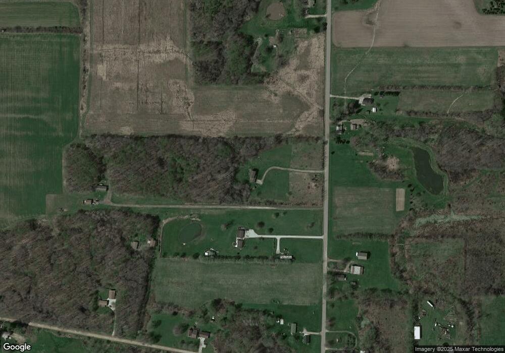
Map
Nearby Homes
- 12311 Route 6n
- 50 Pine Ave
- 6 North St
- 95 3rd Ave
- 10576 & 10578 E Washington St
- 10493 Linndale Ave
- 9749 9801 Moses Rd
- 10023 Reservoir Rd
- 0 Winchester Dr Unit 178083
- 0 Winchester Dr Unit 178085
- 0 Griffey Rd
- 11120 West Rd
- Lot1 West Rd
- Lot3 West Rd
- 119 Pearl St
- 130 S Main St
- 9573 State Line Rd
- 8574 Kinsey Rd
- 0 Kiefer Rd
- 13853 Ridge Rd
- 10545 Knapp Rd
- 10481 Knapp Rd
- 10540 Knapp Rd
- 10546 Knapp Rd
- 10589 Knapp Rd
- 0 Knapp Rd
- 12060 Carter Rd
- 10410 Knapp Rd
- 12080 Carter Rd
- 12167 Carter Rd
- 10667 Knapp Rd
- 10689 Knapp Rd
- 0 Carter Rd
- 11720 Carter Rd
- 10230 Knapp Rd
- 11711 Carter Rd
- 11640 Carter Rd
- 11599 Carter Rd
- 10783 Keepville Rd
- 10821 Keepville Rd
Your Personal Tour Guide
Ask me questions while you tour the home.