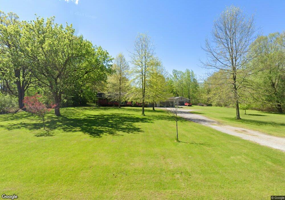
10511 Harris Rd Chesaning, MI 48616
Estimated Value: $261,000 - $334,000
3
Beds
2
Baths
1,588
Sq Ft
$184/Sq Ft
Est. Value
About This Home
This home is located at 10511 Harris Rd, Chesaning, MI 48616 and is currently estimated at $291,866, approximately $183 per square foot. 10511 Harris Rd is a home located in Saginaw County with nearby schools including Big Rock Elementary School, Chesaning Middle School, and Chesaning Union High School.
Ownership History
Date
Name
Owned For
Owner Type
Purchase Details
Closed on
Sep 26, 2023
Sold by
Bueche Joseph M
Bought by
Bueche Joseph M
Current Estimated Value
Purchase Details
Closed on
Jul 8, 2015
Sold by
Bueche Joseph M and Bueche Aimee L
Bought by
Bueche Joseph M
Purchase Details
Closed on
Jun 4, 2010
Sold by
Ehrhardt Scott D and Ehrhardt Cindy S
Bought by
Bueche Joseph M and Bueche Aimee L
Home Financials for this Owner
Home Financials are based on the most recent Mortgage that was taken out on this home.
Original Mortgage
$100,000
Interest Rate
5.13%
Mortgage Type
Purchase Money Mortgage
Purchase Details
Closed on
Feb 2, 2007
Sold by
Rodriguez, Jay A & Lisa M
Bought by
Ehrhardt Scott and Ehrhardt Cindy
Create a Home Valuation Report for This Property
The Home Valuation Report is an in-depth analysis detailing your home's value as well as a comparison with similar homes in the area
Home Values in the Area
Average Home Value in this Area
Purchase History
| Date | Buyer | Sale Price | Title Company |
|---|---|---|---|
| Bueche Joseph M | -- | None Listed On Document | |
| Bueche Joseph M | -- | None Available | |
| Bueche Joseph M | $125,000 | -- | |
| Ehrhardt Scott | $135,000 | -- |
Source: Public Records
Mortgage History
| Date | Status | Borrower | Loan Amount |
|---|---|---|---|
| Previous Owner | Bueche Joseph M | $100,000 |
Source: Public Records
Tax History Compared to Growth
Tax History
| Year | Tax Paid | Tax Assessment Tax Assessment Total Assessment is a certain percentage of the fair market value that is determined by local assessors to be the total taxable value of land and additions on the property. | Land | Improvement |
|---|---|---|---|---|
| 2025 | $3,261 | $122,700 | $0 | $0 |
| 2024 | $986 | $111,600 | $0 | $0 |
| 2023 | $939 | $102,200 | $0 | $0 |
| 2022 | $2,915 | $92,600 | $0 | $0 |
| 2021 | $2,660 | $84,600 | $0 | $0 |
| 2020 | $2,566 | $86,400 | $0 | $0 |
| 2019 | $2,452 | $84,700 | $15,200 | $69,500 |
| 2018 | $819 | $78,000 | $0 | $0 |
| 2017 | $2,210 | $76,200 | $0 | $0 |
| 2016 | $2,187 | $76,300 | $0 | $0 |
| 2014 | -- | $75,200 | $0 | $0 |
| 2013 | -- | $75,200 | $0 | $0 |
Source: Public Records
Map
Nearby Homes
- 14600 Corunna Rd
- 0 Arrowhead 1-A Dr Unit 50184284
- 0 Arrowhead 1-A Dr Unit 50184274
- 1017 N Line St
- 887 N 4th St
- 0 N 4th St
- V/L #4 Brookshire Dr
- V/L #5 Brookshire Dr
- 0 N 1st St
- V/L W Liberty St
- 829 Brady St
- 300 Brady St
- 910 W Brady Rd
- 202 S Clark St
- 128 Pearl St
- 317 S Clark St
- 119 Andres St
- 423 S Line St
- 631 Center St
- 705 E Liberty St
- 10512 Harris Rd
- 10512 Harris Rd
- 10475 Harris Rd
- 10504 Harris Rd
- 10530 Harris Rd
- 10450 Harris Rd
- 10540 Harris Rd
- 14582 Sharon Rd
- 10425 Harris Rd
- 14580 Sharon Rd
- 14584 Sharon Rd
- 10415 Harris Rd
- 10700 Harris Rd
- 14585 Sharon Rd
- 10709 Harris Rd
- 10730 Harris Rd
- 10755 Harris Rd
- 14403 Sharon Rd
- 10839 Harris Rd
- 14777 Sharon Rd