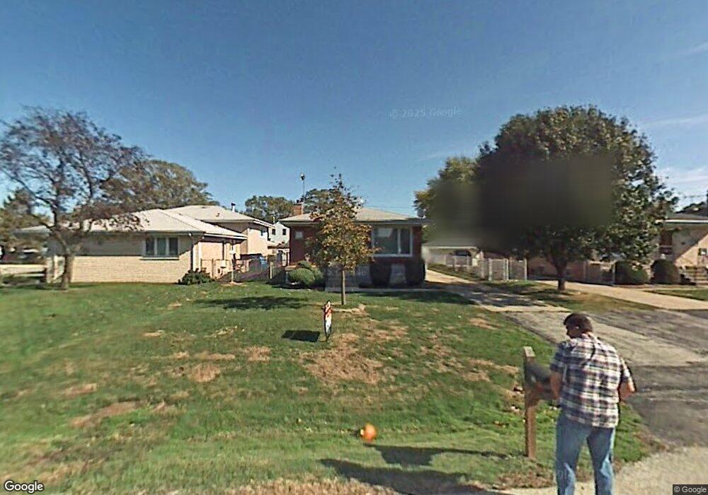
10511 S 81st Ave Palos Hills, IL 60465
Estimated Value: $322,106 - $361,000
3
Beds
2
Baths
1,200
Sq Ft
$280/Sq Ft
Est. Value
About This Home
This home is located at 10511 S 81st Ave, Palos Hills, IL 60465 and is currently estimated at $336,277, approximately $280 per square foot. 10511 S 81st Ave is a home located in Cook County with nearby schools including Sorrick Elementary School, Oak Ridge Elementary School, and H H Conrady Jr High School.
Ownership History
Date
Name
Owned For
Owner Type
Purchase Details
Closed on
Jun 7, 2010
Sold by
Firstsecure Bank & Trust Co
Bought by
Ali Samer and Ali Hilwah A
Current Estimated Value
Home Financials for this Owner
Home Financials are based on the most recent Mortgage that was taken out on this home.
Original Mortgage
$144,000
Interest Rate
5.05%
Mortgage Type
New Conventional
Purchase Details
Closed on
Jul 21, 1997
Sold by
Standard Bank & Trust Company
Bought by
1St State Bank & Trust Co Of Palos Hills and Trust #2-311
Create a Home Valuation Report for This Property
The Home Valuation Report is an in-depth analysis detailing your home's value as well as a comparison with similar homes in the area
Home Values in the Area
Average Home Value in this Area
Purchase History
| Date | Buyer | Sale Price | Title Company |
|---|---|---|---|
| Ali Samer | $180,000 | None Available | |
| 1St State Bank & Trust Co Of Palos Hills | -- | -- |
Source: Public Records
Mortgage History
| Date | Status | Borrower | Loan Amount |
|---|---|---|---|
| Closed | Ali Samer | $144,000 |
Source: Public Records
Tax History Compared to Growth
Tax History
| Year | Tax Paid | Tax Assessment Tax Assessment Total Assessment is a certain percentage of the fair market value that is determined by local assessors to be the total taxable value of land and additions on the property. | Land | Improvement |
|---|---|---|---|---|
| 2024 | $6,148 | $24,591 | $5,115 | $19,476 |
| 2023 | $6,547 | $26,000 | $5,115 | $20,885 |
| 2022 | $6,547 | $21,362 | $4,455 | $16,907 |
| 2021 | $6,376 | $21,362 | $4,455 | $16,907 |
| 2020 | $6,321 | $21,362 | $4,455 | $16,907 |
| 2019 | $5,064 | $18,117 | $4,125 | $13,992 |
| 2018 | $4,872 | $18,117 | $4,125 | $13,992 |
| 2017 | $4,719 | $18,117 | $4,125 | $13,992 |
| 2016 | $5,157 | $17,424 | $3,630 | $13,794 |
| 2015 | $5,041 | $17,424 | $3,630 | $13,794 |
| 2014 | $5,828 | $17,424 | $3,630 | $13,794 |
| 2013 | $5,668 | $18,086 | $3,630 | $14,456 |
Source: Public Records
Map
Nearby Homes
- 10531 S Roberts Rd Unit 2D
- 10324 S 81st Ave
- 10441 S 83rd Ave
- 10820 Kathleen Ct Unit D
- 10226 S 81st Ave
- 10125 S 81st Ct
- 10562 S 84th Ave
- 10427 S Alta Dr
- 7810 W 102nd St
- 10221 S Eleanor Ave
- 10408 S Alta Dr
- 10927 Circle Dr
- 10300 S Kathy Ct
- 10926 Circle Ct
- 10230 S 83rd Ct
- 7849 W 101st St
- 11001 Stony Creek Dr Unit 2C
- 8057 Valley Dr
- 10440 S 75th Ct
- 10845 S 84th Ave Unit 2A
- 10501 S 81st Ave
- 10517 S 81st Ave
- 10521 S 81st Ave
- 10502 S 80th Ct
- 10500 S 80th Ct
- 10510 S 80th Ct
- 10527 S 81st Ave
- 10514 S 80th Ct
- 10459 S 81st Ave
- 10502 S 81st Ave
- 10522 S 80th Ct
- 10531 S 81st Ave
- 10500 S 81st Ave
- 10504 S 81st Ave
- 10522 S 81st Ave
- 10452 S 80th Ct
- 10524 S 80th Ct
- 10526 S 81st Ave
- 10533 S 81st Ave
- 10453 S 81st Ave