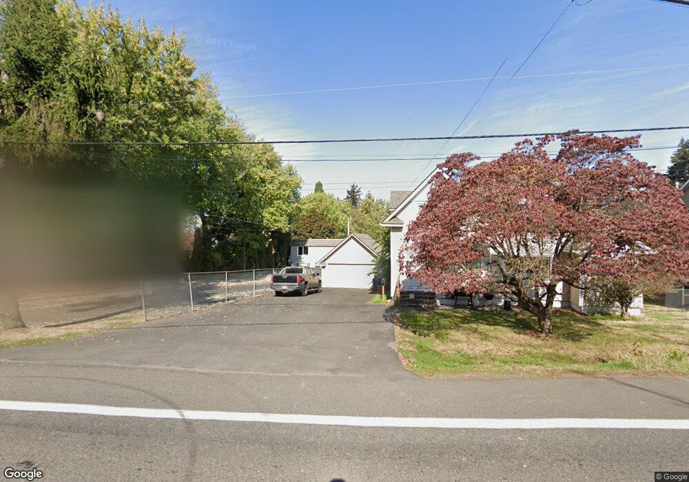
10513 - 10535 Ne Fremont St Glenview Portland, OR 97220
Parkrose NeighborhoodEstimated Value: $506,000 - $1,285,733
2
Beds
1
Bath
650
Sq Ft
$1,483/Sq Ft
Est. Value
About This Home
This home is located at 10513 - 10535 Ne Fremont St Glenview, Portland, OR 97220 and is currently estimated at $963,911, approximately $1,482 per square foot. 10513 - 10535 Ne Fremont St Glenview is a home located in Multnomah County with nearby schools including Prescott Elementary School, Parkrose Middle School, and Parkrose High School.
Ownership History
Date
Name
Owned For
Owner Type
Purchase Details
Closed on
Apr 19, 2012
Sold by
Saelee Low Choy
Bought by
Camry Developement Llc
Current Estimated Value
Home Financials for this Owner
Home Financials are based on the most recent Mortgage that was taken out on this home.
Original Mortgage
$455,000
Interest Rate
3.84%
Mortgage Type
Purchase Money Mortgage
Create a Home Valuation Report for This Property
The Home Valuation Report is an in-depth analysis detailing your home's value as well as a comparison with similar homes in the area
Home Values in the Area
Average Home Value in this Area
Purchase History
| Date | Buyer | Sale Price | Title Company |
|---|---|---|---|
| Camry Developement Llc | -- | Fidelity Natl Title Co Of Or |
Source: Public Records
Mortgage History
| Date | Status | Borrower | Loan Amount |
|---|---|---|---|
| Closed | Camry Developement Llc | $455,000 |
Source: Public Records
Tax History Compared to Growth
Tax History
| Year | Tax Paid | Tax Assessment Tax Assessment Total Assessment is a certain percentage of the fair market value that is determined by local assessors to be the total taxable value of land and additions on the property. | Land | Improvement |
|---|---|---|---|---|
| 2024 | $18,879 | $834,970 | -- | -- |
| 2023 | $18,105 | $810,660 | $0 | $0 |
| 2022 | $17,749 | $787,050 | $0 | $0 |
| 2021 | $17,451 | $764,130 | $0 | $0 |
| 2020 | $16,201 | $741,880 | $0 | $0 |
| 2019 | $15,332 | $720,280 | $0 | $0 |
| 2018 | $14,809 | $699,310 | $0 | $0 |
| 2017 | $14,272 | $678,950 | $0 | $0 |
| 2016 | $13,516 | $659,180 | $0 | $0 |
| 2015 | $11,937 | $639,990 | $0 | $0 |
| 2014 | $10,332 | $621,350 | $0 | $0 |
Source: Public Records
Map
Nearby Homes
- 10240 NE Beech St
- 10236 NE Beech St
- 3511 NE 102nd Ave
- 10904 NE Shaver St
- 11102 NE Beech St
- 4107 NE 105th Ave
- 3700 NE Maywood Place
- 10121 NE Shaver St
- 3249 NE 111th Dr
- 10938 NE Siskiyou St
- 10238 NE Morris Ct Unit 10240
- 4104 NE 112th Ave
- 4315 NE 112th Ave
- 4312 NE 99th Ave
- 4523 NE 105th Ave
- 4523 NE 109th Ave
- 10940 NE Knott St
- 10311 NE Russell Ct
- 4309 NE 114th Ave
- 10510 NE Russell Ct
- 10513 NE Fremont St Unit 10535
- 10535-10535 Ne Fremont St Unit 10531
- 10611 NE Fremont St Unit 14
- 10611 NE Fremont St Unit 13
- 10611 NE Fremont St Unit 11
- 10611 NE Fremont St Unit 10
- 10637 NE Fremont St Unit 4
- 10637 NE Fremont St Unit 3
- 10637 NE Fremont St Unit 2
- 10637 NE Fremont St Unit 1
- 10545 NE Fremont St Unit 18
- 10545 NE Fremont St Unit 17
- 10545 NE Fremont St Unit 16
- 10545 NE Fremont St Unit 15
- 10545 NE Fremont St
- 3534 NE 105th Ave
- 3542 NE 105th Ave
- 3532 NE 105th Ave
- 10615 NE Fremont St
- 10539 NE Fremont St