10513 Burnside Farm Rd Owings Mills, MD 21117
Estimated Value: $3,339,214 - $8,303,000
--
Bed
11
Baths
17,931
Sq Ft
$307/Sq Ft
Est. Value
About This Home
This home is located at 10513 Burnside Farm Rd, Owings Mills, MD 21117 and is currently estimated at $5,504,738, approximately $306 per square foot. 10513 Burnside Farm Rd is a home located in Baltimore County with nearby schools including Fort Garrison Elementary School, Pikesville Middle School, and Pikesville High School.
Ownership History
Date
Name
Owned For
Owner Type
Purchase Details
Closed on
Jun 1, 2018
Sold by
Stoler Barry A
Bought by
Stoler Barry A and Barry A Stoler Revocable Trust
Current Estimated Value
Purchase Details
Closed on
May 19, 2000
Sold by
Stoler Barry A
Bought by
Stoler Barry A
Purchase Details
Closed on
Jun 24, 1992
Sold by
Robinson Sally S Rea Helen S
Bought by
Stoler Barry A
Create a Home Valuation Report for This Property
The Home Valuation Report is an in-depth analysis detailing your home's value as well as a comparison with similar homes in the area
Home Values in the Area
Average Home Value in this Area
Purchase History
| Date | Buyer | Sale Price | Title Company |
|---|---|---|---|
| Stoler Barry A | -- | None Available | |
| Stoler Barry A | -- | -- | |
| Stoler Barry A | $310,000 | -- |
Source: Public Records
Tax History Compared to Growth
Tax History
| Year | Tax Paid | Tax Assessment Tax Assessment Total Assessment is a certain percentage of the fair market value that is determined by local assessors to be the total taxable value of land and additions on the property. | Land | Improvement |
|---|---|---|---|---|
| 2025 | $47,272 | $4,688,400 | $428,800 | $4,259,600 |
| 2024 | $47,272 | $4,318,767 | $0 | $0 |
| 2023 | $22,710 | $3,949,133 | $0 | $0 |
| 2022 | $43,050 | $3,579,500 | $428,800 | $3,150,700 |
| 2021 | $43,444 | $3,579,500 | $428,800 | $3,150,700 |
| 2020 | $43,444 | $3,579,500 | $428,800 | $3,150,700 |
| 2019 | $48,797 | $4,021,200 | $926,300 | $3,094,900 |
| 2018 | $47,509 | $4,004,333 | $0 | $0 |
| 2017 | $21,496 | $3,700,900 | $0 | $0 |
| 2016 | $34,381 | $3,749,800 | $0 | $0 |
| 2015 | $34,381 | $3,691,767 | $0 | $0 |
| 2014 | $34,381 | $3,633,733 | $0 | $0 |
Source: Public Records
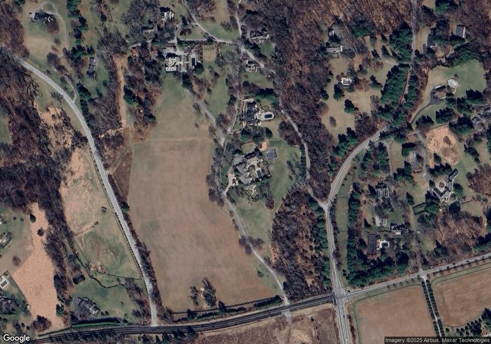
Map
Nearby Homes
- 10603 Park Heights Ave
- 2628 Greenspring Valley Rd
- 2705 Spring Hill Rd
- 16 Merry Hill Ct
- 6 Merry Hill Ct
- 10 Merry Hill Ct
- 12 Merry Hill Ct
- 10902 Baronet Rd
- 14 Merry Hill Ct
- 314 Golf Course Rd
- 2418 Velvet Valley Way
- 12 Spring Forest Ct
- 6 Evan Way
- 10606 Candlewick Rd
- 11101 Verdant Rd
- 4 Bucksway Rd
- 8412 Park Heights Ave
- 3506 Gardenview Rd
- 204 Berry Vine Dr
- 8432 Stevenson Rd
- 10515 Burnside Farm Rd
- 10516 Burnside Farm Rd
- 10535 Park Heights Ave
- 10531 Park Heights Ave
- 10517 Burnside Farm Rd
- 10605 Park Heights Ave
- 10510 Burnside Farm Rd
- 10521 Burnside Farm Rd
- 10600 Park Heights Ave
- 2312 Greenspring Valley Rd
- 10530 Burnside Farm Rd
- 10522 Burnside Farm Rd
- 10524 Burnside Farm Rd
- 10526 Burnside Farm Rd
- 10529 Park Heights Ave
- 2590 Greenspring Valley Rd
- 2500 Greenspring Valley Rd
- 231 Greenspring Valley Rd
- 2501 Greenspring Valley Rd
- 10531 Park Heights Ave