10519 Smoking Oak Rd Cheyenne, WY 82009
Estimated Value: $572,000 - $709,123
--
Bed
--
Bath
2,975
Sq Ft
$220/Sq Ft
Est. Value
About This Home
This home is located at 10519 Smoking Oak Rd, Cheyenne, WY 82009 and is currently estimated at $654,041, approximately $219 per square foot. 10519 Smoking Oak Rd is a home with nearby schools including Prairie Wind Elementary School, McCormick Junior High School, and Central High School.
Ownership History
Date
Name
Owned For
Owner Type
Purchase Details
Closed on
Nov 22, 2021
Sold by
Martin Carol Intlekofer and Richard R Martin Revocable Trust
Bought by
Carol Intlekofer Martin Revocable Tru and Martin Carol Intlekofer
Current Estimated Value
Home Financials for this Owner
Home Financials are based on the most recent Mortgage that was taken out on this home.
Interest Rate
3.1%
Purchase Details
Closed on
Dec 30, 2015
Sold by
Martin Richard R and Martin Carol Intlekofer
Bought by
Martin Richard R and Richard R Martin Revocable Tru
Purchase Details
Closed on
Jan 10, 2007
Sold by
Martin Richard R and Martin Carol A
Bought by
Martin Carol Intlekofer and Martin Richard R
Create a Home Valuation Report for This Property
The Home Valuation Report is an in-depth analysis detailing your home's value as well as a comparison with similar homes in the area
Home Values in the Area
Average Home Value in this Area
Purchase History
| Date | Buyer | Sale Price | Title Company |
|---|---|---|---|
| Carol Intlekofer Martin Revocable Tru | -- | -- | |
| Martin Richard R | -- | None Available | |
| Martin Carol Intlekofer | -- | None Available |
Source: Public Records
Mortgage History
| Date | Status | Borrower | Loan Amount |
|---|---|---|---|
| Closed | Carol Intlekofer Martin Revocable Tru | -- |
Source: Public Records
Tax History Compared to Growth
Tax History
| Year | Tax Paid | Tax Assessment Tax Assessment Total Assessment is a certain percentage of the fair market value that is determined by local assessors to be the total taxable value of land and additions on the property. | Land | Improvement |
|---|---|---|---|---|
| 2025 | $4,283 | $35,075 | $8,207 | $26,868 |
| 2024 | $4,283 | $66,732 | $16,414 | $50,318 |
| 2023 | $3,791 | $60,696 | $12,197 | $48,499 |
| 2022 | $3,080 | $48,846 | $8,234 | $40,612 |
| 2021 | $2,852 | $45,344 | $7,862 | $37,482 |
| 2020 | $2,741 | $43,830 | $7,058 | $36,772 |
| 2019 | $2,553 | $40,993 | $7,058 | $33,935 |
| 2018 | $2,468 | $40,094 | $7,058 | $33,036 |
| 2017 | $2,446 | $39,412 | $7,058 | $32,354 |
| 2016 | $2,378 | $38,384 | $6,319 | $32,065 |
| 2015 | $2,315 | $37,438 | $6,319 | $31,119 |
| 2014 | $2,332 | $37,450 | $6,319 | $31,131 |
Source: Public Records
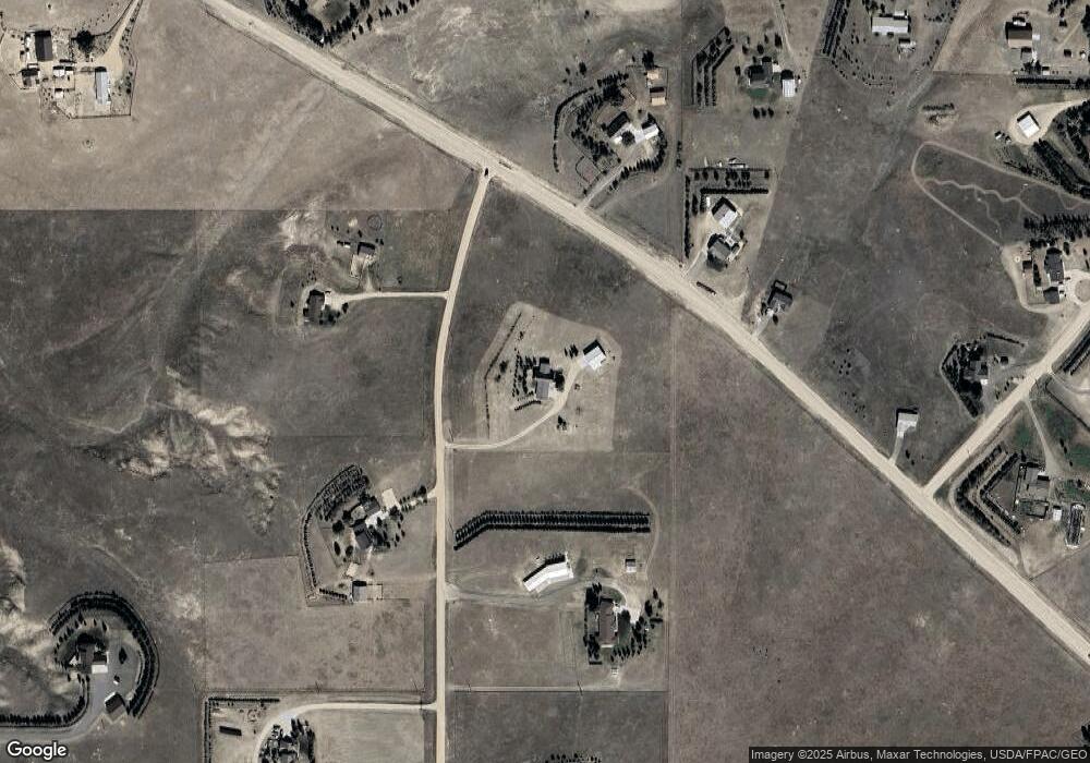
Map
Nearby Homes
- Lot 17 Foxhill Rd
- Lot 18 Foxhill Rd
- TR26 E Milliron Rd
- Tract 19 Rich Strike Rd
- TR61 Cattlemans Dr
- Tr2 N Milliron Rd
- TR72 Cattlemans Dr
- 10004 E Milliron Rd
- Tract 22 Rich Strike Rd
- Tract 116 Rich Strike Rd
- TR62 Cattlemans Dr
- Tract 23 Rich Strike Rd
- TR71 Cattlemans Dr
- 4704 Horse Creek Rd
- Tract 107 Rich Strike Rd
- Tract 106 Rich Strike Rd
- Tract 112 Rich Strike Rd
- Tract 110 Rich Strike Rd
- TR70 Cattlemans Dr
- Tract 114 Rich Strike Rd
- 10455 Roundtop Rd
- 10510 Smoking Oak Rd
- 10312 Smoking Oak Rd
- 10401 Roundtop Rd
- 10319 Smoking Oak Rd
- 10699 Roundtop Rd
- 5716 Horse Creek Rd
- 10422 Arabian Ln
- 6009 Horse Creek Rd
- 10115 Smoking Oak Rd
- 5623 Horse Creek Rd
- 10116 Smoking Oak Rd
- 10335 Arabian Ln
- 10524 Arabian Ln
- 10311 Knowlwood Rd
- 10816 Roundtop Rd
- 10429 Arabian Ln
- 10900 Legend Trail
- 10710 Arabian Ln
- 10523 Arabian Ln