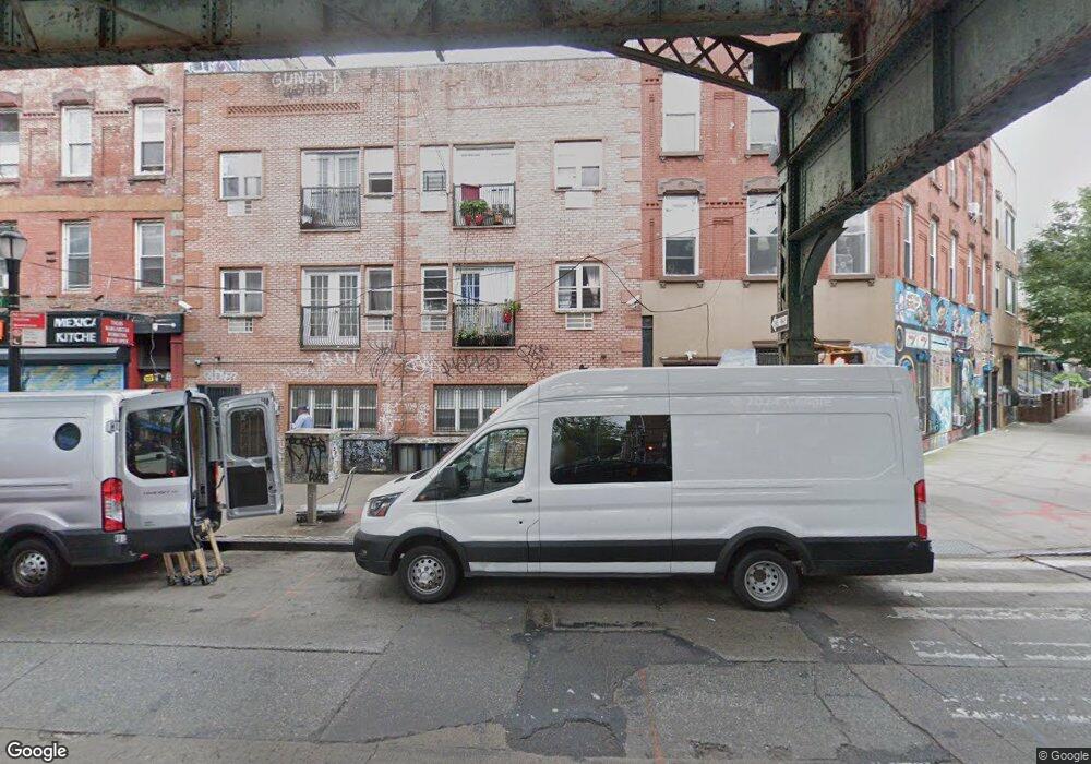
1052 Broadway Brooklyn, NY 11221
Bed-Stuy NeighborhoodEstimated Value: $1,380,685 - $1,688,000
--
Bed
--
Bath
3,600
Sq Ft
$428/Sq Ft
Est. Value
About This Home
This home is located at 1052 Broadway, Brooklyn, NY 11221 and is currently estimated at $1,539,671, approximately $427 per square foot. 1052 Broadway is a home located in Kings County with nearby schools including P.S. 81 - Thaddeus Stevens, Bedford Stuyvesant New Beginnings Charter School, and Brooklyn Emerging Leaders Academy Charter School.
Ownership History
Date
Name
Owned For
Owner Type
Purchase Details
Closed on
Aug 10, 2007
Sold by
Nili Inc
Bought by
Ramos Lucino
Current Estimated Value
Home Financials for this Owner
Home Financials are based on the most recent Mortgage that was taken out on this home.
Original Mortgage
$592,000
Outstanding Balance
$377,117
Interest Rate
6.78%
Estimated Equity
$1,162,554
Purchase Details
Closed on
Sep 13, 1996
Sold by
The City Of New York
Bought by
Atlas Abad Auto Glass Inc
Create a Home Valuation Report for This Property
The Home Valuation Report is an in-depth analysis detailing your home's value as well as a comparison with similar homes in the area
Home Values in the Area
Average Home Value in this Area
Purchase History
| Date | Buyer | Sale Price | Title Company |
|---|---|---|---|
| Ramos Lucino | $753,505 | -- | |
| Atlas Abad Auto Glass Inc | $12,000 | -- |
Source: Public Records
Mortgage History
| Date | Status | Borrower | Loan Amount |
|---|---|---|---|
| Open | Ramos Lucino | $592,000 |
Source: Public Records
Tax History Compared to Growth
Tax History
| Year | Tax Paid | Tax Assessment Tax Assessment Total Assessment is a certain percentage of the fair market value that is determined by local assessors to be the total taxable value of land and additions on the property. | Land | Improvement |
|---|---|---|---|---|
| 2025 | $11,938 | $95,520 | $27,840 | $67,680 |
| 2024 | $11,938 | $97,800 | $27,840 | $69,960 |
| 2023 | $11,388 | $90,960 | $27,840 | $63,120 |
| 2022 | $10,622 | $89,940 | $27,840 | $62,100 |
| 2021 | $10,564 | $78,660 | $27,840 | $50,820 |
| 2020 | $5,251 | $95,400 | $27,840 | $67,560 |
| 2019 | $10,361 | $77,280 | $27,840 | $49,440 |
| 2018 | $9,525 | $46,728 | $12,576 | $34,152 |
| 2017 | $9,039 | $44,341 | $18,824 | $25,517 |
| 2016 | $8,363 | $41,832 | $20,540 | $21,292 |
| 2015 | $5,045 | $41,832 | $19,442 | $22,390 |
| 2014 | $5,045 | $41,276 | $23,010 | $18,266 |
Source: Public Records
Map
Nearby Homes
- 10 Suydam St
- 449 Pulaski St
- 427 Pulaski St
- 442 Pulaski St Unit 2F
- 444 Pulaski St Unit 1
- 27 Dodworth St Unit 3F
- 695 Bushwick Ave
- 567 Kosciuszko St
- 539 Kosciuszko St
- 815 Willoughby Ave
- 557 Hart St Unit 3-A
- 21 Jefferson St
- 610 Kosciuszko St
- 16 Melrose St Unit 4F
- 974 Dekalb Ave
- 935 Lafayette Ave Unit 4
- 935 Lafayette Ave Unit 1
- 168 Evergreen Ave Unit 3B
- 457 Van Buren St
- 475 Van Buren St
- 1054 Broadway
- 1054 Broadway Unit 2
- 1054 Broadway Unit 1
- 1050 Broadway
- 466 Hart St
- 468 Hart St
- 468 Hart St
- 468 Hart St
- 1056 Broadway Unit 4
- 1056 Broadway
- 464 Hart St
- 464 Hart St Unit 1
- 464 Hart St Unit A
- 1058 Broadway
- 1060 Broadway
- 462A Hart St Unit 2
- 462 Hart St
- 462 Hart St
- 1062 Broadway
- 461 Pulaski St