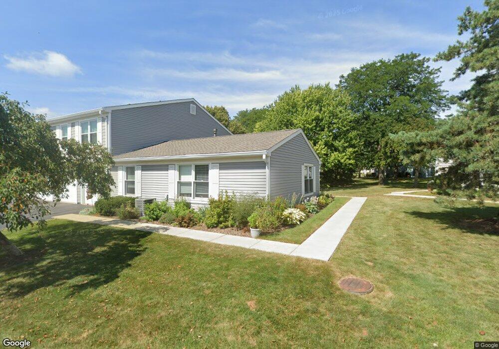
1052 Brunswick Harbor Unit 52 Schaumburg, IL 60193
South Schaumburg NeighborhoodEstimated Value: $238,824 - $261,000
2
Beds
--
Bath
1,000
Sq Ft
$253/Sq Ft
Est. Value
About This Home
This home is located at 1052 Brunswick Harbor Unit 52, Schaumburg, IL 60193 and is currently estimated at $252,706, approximately $252 per square foot. 1052 Brunswick Harbor Unit 52 is a home located in Cook County with nearby schools including Michael Collins Elementary School, Robert Frost Junior High School, and J B Conant High School.
Ownership History
Date
Name
Owned For
Owner Type
Purchase Details
Closed on
Jul 23, 2002
Sold by
Flolo David E and Flolo Cheryl A
Bought by
Patel Daxaben I
Current Estimated Value
Home Financials for this Owner
Home Financials are based on the most recent Mortgage that was taken out on this home.
Original Mortgage
$109,600
Outstanding Balance
$46,429
Interest Rate
6.7%
Estimated Equity
$206,277
Purchase Details
Closed on
Mar 26, 1997
Sold by
Daniels Denise
Bought by
Flolo David E
Home Financials for this Owner
Home Financials are based on the most recent Mortgage that was taken out on this home.
Original Mortgage
$59,500
Interest Rate
7.74%
Mortgage Type
Balloon
Create a Home Valuation Report for This Property
The Home Valuation Report is an in-depth analysis detailing your home's value as well as a comparison with similar homes in the area
Home Values in the Area
Average Home Value in this Area
Purchase History
| Date | Buyer | Sale Price | Title Company |
|---|---|---|---|
| Patel Daxaben I | $137,000 | -- | |
| Flolo David E | $89,500 | Attorneys Natl Title Network |
Source: Public Records
Mortgage History
| Date | Status | Borrower | Loan Amount |
|---|---|---|---|
| Open | Patel Daxaben I | $109,600 | |
| Previous Owner | Flolo David E | $59,500 |
Source: Public Records
Tax History Compared to Growth
Tax History
| Year | Tax Paid | Tax Assessment Tax Assessment Total Assessment is a certain percentage of the fair market value that is determined by local assessors to be the total taxable value of land and additions on the property. | Land | Improvement |
|---|---|---|---|---|
| 2024 | $3,438 | $15,590 | $646 | $14,944 |
| 2023 | $3,306 | $15,590 | $646 | $14,944 |
| 2022 | $3,306 | $15,590 | $646 | $14,944 |
| 2021 | $3,196 | $13,874 | $352 | $13,522 |
| 2020 | $3,209 | $13,874 | $352 | $13,522 |
| 2019 | $3,213 | $15,416 | $352 | $15,064 |
| 2018 | $2,253 | $10,944 | $293 | $10,651 |
| 2017 | $2,236 | $10,944 | $293 | $10,651 |
| 2016 | $2,333 | $10,944 | $293 | $10,651 |
| 2015 | $2,010 | $9,341 | $264 | $9,077 |
| 2014 | $2,004 | $9,341 | $264 | $9,077 |
| 2013 | $1,935 | $9,341 | $264 | $9,077 |
Source: Public Records
Map
Nearby Homes
- 1078 Newport Harbor Unit 6101
- 286 Nantucket Harbor Unit 601
- 1100 Boston Harbor Unit 7004
- 421 E Wise Rd
- 1205 Laurel Ln
- 731 Highpoint Ct
- 620 S Point Dr
- 1323 S Roselle Rd
- 1420 Indian Hill Dr
- 13 W Monterey Ave
- 717 Tipperary Ct Unit 1C
- 733 Limerick Ln Unit 7333D
- 712 Tipperary Ct Unit 1C
- 711 Tipperary Ct Unit 2D
- 727 Killarney Ct Unit 2D
- 826 Thornton Ct Unit 2AL
- 211 Steeple Bush Ln Unit 10343
- 205 Steeple Bush Ln Unit 10444
- 517 E Weathersfield Way
- 134 Lunt Ave
- 1054 Brunswick Harbor Unit 52
- 1056 Brunswick Harbor Unit 52
- 1058 Brunswick Harbor Unit 52
- 1036 Brunswick Harbor Unit 51
- 1038 Brunswick Harbor Unit 51
- 1042 Brunswick Harbor Unit 51
- 1051 Brunswick Harbor Unit 47
- 1053 Brunswick Harbor Unit 46
- 1055 Brunswick Harbor Unit 46
- 1045 Brunswick Harbor Unit 47
- 1057 Brunswick Harbor Unit 46
- 1059 Brunswick Harbor Unit 46
- 1063 Brunswick Harbor Unit 53
- 1049 Brunswick Harbor Unit 47
- 1049 Brunswick Harbor Unit 1057
- 1067 Brunswick Harbor Unit 53
- 1061 Brunswick Harbor Unit 53
- 1065 Brunswick Harbor Unit 53
- 1031 Brunswick Harbor Unit 48
- 1109 Brunswick Harbor Unit 45