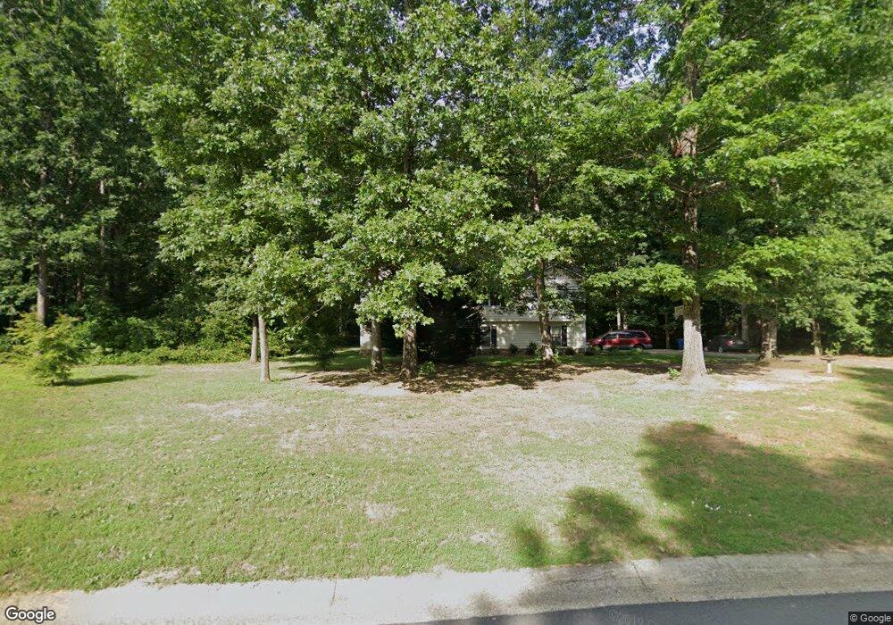
1052 Crystal Brook Way Monroe, GA 30655
Estimated Value: $325,000 - $401,000
--
Bed
--
Bath
2,380
Sq Ft
$147/Sq Ft
Est. Value
About This Home
This home is located at 1052 Crystal Brook Way, Monroe, GA 30655 and is currently estimated at $350,627, approximately $147 per square foot. 1052 Crystal Brook Way is a home located in Walton County with nearby schools including Harmony Elementary School, Carver Middle School, and Monroe Area High School.
Ownership History
Date
Name
Owned For
Owner Type
Purchase Details
Closed on
Jan 31, 2006
Sold by
Browne Robert C
Bought by
Browne Robert C and Browne Traci A
Current Estimated Value
Purchase Details
Closed on
Dec 1, 2004
Sold by
Mcreynolds Fam Hms & Gdns Inc
Bought by
Mcreynolds Peter T
Purchase Details
Closed on
Jun 28, 2002
Sold by
Masters Johnny
Bought by
Mcreynolds Peter T
Home Financials for this Owner
Home Financials are based on the most recent Mortgage that was taken out on this home.
Original Mortgage
$130,900
Interest Rate
6.86%
Mortgage Type
FHA
Create a Home Valuation Report for This Property
The Home Valuation Report is an in-depth analysis detailing your home's value as well as a comparison with similar homes in the area
Home Values in the Area
Average Home Value in this Area
Purchase History
| Date | Buyer | Sale Price | Title Company |
|---|---|---|---|
| Browne Robert C | -- | -- | |
| Mcreynolds Peter T | -- | -- | |
| Mcreynolds Peter T | $134,500 | -- |
Source: Public Records
Mortgage History
| Date | Status | Borrower | Loan Amount |
|---|---|---|---|
| Previous Owner | Mcreynolds Peter T | $130,900 |
Source: Public Records
Tax History Compared to Growth
Tax History
| Year | Tax Paid | Tax Assessment Tax Assessment Total Assessment is a certain percentage of the fair market value that is determined by local assessors to be the total taxable value of land and additions on the property. | Land | Improvement |
|---|---|---|---|---|
| 2024 | $2,754 | $121,360 | $20,800 | $100,560 |
| 2023 | $2,803 | $117,400 | $20,000 | $97,400 |
| 2022 | $2,607 | $98,400 | $14,400 | $84,000 |
| 2021 | $2,288 | $78,640 | $12,400 | $66,240 |
| 2020 | $2,249 | $74,120 | $10,000 | $64,120 |
| 2019 | $2,051 | $63,200 | $10,000 | $53,200 |
| 2018 | $2,006 | $63,200 | $10,000 | $53,200 |
| 2017 | $1,953 | $56,680 | $8,000 | $48,680 |
| 2016 | $1,414 | $42,680 | $8,000 | $34,680 |
| 2015 | $1,103 | $33,000 | $6,000 | $27,000 |
| 2014 | -- | $29,200 | $0 | $0 |
Source: Public Records
Map
Nearby Homes
- 1404 Crystal Brook Ct
- 1628 Brook Ln
- 490 Gene Bell Rd NE
- 574 Gene Bell Rd NE
- 592 Gene Bell Rd NE
- 1200 Magnolia Ridge
- 482 Gene Bell Rd NE
- 462 Gene Bell Rd NE
- 906 Stow Ln
- 912 Stow Ln
- 924 Stow Ln
- 607 Cantor Way
- 918 Stow Ln
- Ashmore Plan at Brookland Commons
- Ashton Plan at Brookland Commons
- Brentwood Plan at Brookland Commons
- AnsonTH Plan at Brookland Commons
- Danbury Plan at Brookland Commons
- Avril Plan at Brookland Commons
- Oakgrove Plan at Brookland Commons
- 1048 Crystal Brook Way
- 1056 Crystal Brook Way Unit one
- 1056 Crystal Brook Way
- 1049 Crystal Brook Way
- 1044 Crystal Brook Way
- 1053 Crystal Brook Way
- 1040 Crystal Brook Way
- 1040 Crystal Brook Way Unit 58
- 1036 Crystal Brook Way
- 1212 Crystal Bend
- 1204 Crystal Bend
- 1208 Crystal Bend
- 1224 Crystal Bend
- 1216 Crystal Bend
- 1032 Crystal Brook Way
- 1228 Crystal Bend
- 1232 Crystal Bend
- 0 Crystal Brook Ct Unit 7439065
- 0 Crystal Brook Ct
- 1028 Crystal Brook Way