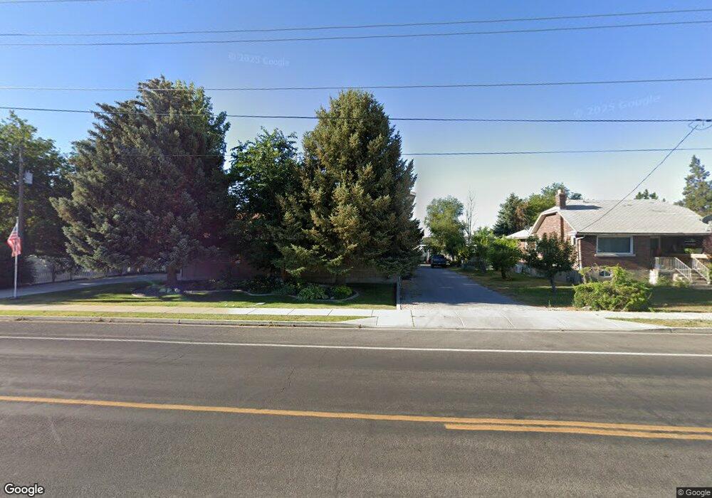
1052 E 50 S American Fork, UT 84003
Estimated Value: $693,000 - $832,000
2
Beds
2
Baths
2,687
Sq Ft
$285/Sq Ft
Est. Value
About This Home
This home is located at 1052 E 50 S, American Fork, UT 84003 and is currently estimated at $766,980, approximately $285 per square foot. 1052 E 50 S is a home located in Utah County with nearby schools including Barratt Elementary School, American Fork Junior High School, and American Fork High School.
Ownership History
Date
Name
Owned For
Owner Type
Purchase Details
Closed on
Jul 22, 2025
Sold by
Houston Dewey Glade
Bought by
Dewey G Houston Revocable Trust and Er Living Trust
Current Estimated Value
Purchase Details
Closed on
Dec 6, 2017
Sold by
Houston Richard Loren and Houston Kathleen Elaine
Bought by
Houston Dewey Glade
Purchase Details
Closed on
Oct 30, 2013
Sold by
Houston Richard L and Houston Kathleen E
Bought by
Houston Richard Loren and Houston Kathleen Elaine
Home Financials for this Owner
Home Financials are based on the most recent Mortgage that was taken out on this home.
Original Mortgage
$250,000
Interest Rate
4.17%
Mortgage Type
New Conventional
Purchase Details
Closed on
Mar 22, 2005
Sold by
Pristine Developers Inc
Bought by
Lundin John
Home Financials for this Owner
Home Financials are based on the most recent Mortgage that was taken out on this home.
Original Mortgage
$400,000
Interest Rate
5.6%
Mortgage Type
Construction
Create a Home Valuation Report for This Property
The Home Valuation Report is an in-depth analysis detailing your home's value as well as a comparison with similar homes in the area
Home Values in the Area
Average Home Value in this Area
Purchase History
| Date | Buyer | Sale Price | Title Company |
|---|---|---|---|
| Dewey G Houston Revocable Trust | -- | Meridian Title Company | |
| Houston Dewey Glade | -- | None Available | |
| Houston Richard Loren | -- | United West Title | |
| Lundin John | -- | Mountain West Title Company |
Source: Public Records
Mortgage History
| Date | Status | Borrower | Loan Amount |
|---|---|---|---|
| Previous Owner | Houston Richard Loren | $250,000 | |
| Previous Owner | Lundin John | $400,000 |
Source: Public Records
Tax History
| Year | Tax Paid | Tax Assessment Tax Assessment Total Assessment is a certain percentage of the fair market value that is determined by local assessors to be the total taxable value of land and additions on the property. | Land | Improvement |
|---|---|---|---|---|
| 2025 | $3,473 | $359,535 | -- | -- |
| 2024 | $3,473 | $385,880 | $0 | $0 |
| 2023 | $3,462 | $407,880 | $0 | $0 |
| 2022 | $3,299 | $383,570 | $0 | $0 |
| 2021 | $2,705 | $491,100 | $175,500 | $315,600 |
| 2020 | $2,519 | $443,600 | $156,700 | $286,900 |
| 2019 | $2,388 | $434,900 | $148,000 | $286,900 |
| 2018 | $2,183 | $380,100 | $130,600 | $249,500 |
| 2017 | $2,173 | $204,270 | $0 | $0 |
| 2016 | $2,267 | $197,945 | $0 | $0 |
| 2015 | $2,360 | $195,580 | $0 | $0 |
| 2014 | $2,374 | $194,040 | $0 | $0 |
Source: Public Records
Map
Nearby Homes
Your Personal Tour Guide
Ask me questions while you tour the home.