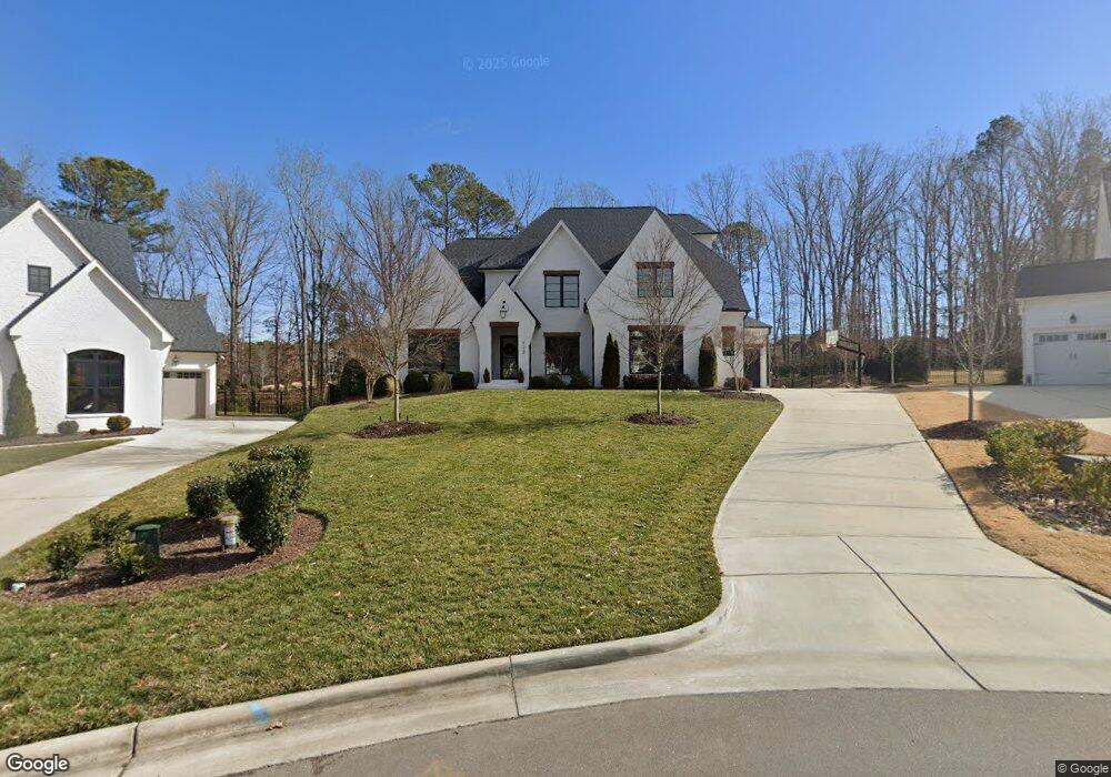
1052 Ferson Rd Apex, NC 27523
Weldon Ridge NeighborhoodEstimated Value: $712,415
3
Beds
2
Baths
1,470
Sq Ft
$485/Sq Ft
Est. Value
About This Home
This home is located at 1052 Ferson Rd, Apex, NC 27523 and is currently estimated at $712,415, approximately $484 per square foot. 1052 Ferson Rd is a home located in Wake County with nearby schools including White Oak Elementary School, Mills Park Middle School, and Green Level High School.
Ownership History
Date
Name
Owned For
Owner Type
Purchase Details
Closed on
Jul 23, 2015
Sold by
Moore Harvey Allen and Moore Melanie Beth
Bought by
Branston Llc
Current Estimated Value
Home Financials for this Owner
Home Financials are based on the most recent Mortgage that was taken out on this home.
Original Mortgage
$350,000
Interest Rate
4.04%
Mortgage Type
Unknown
Purchase Details
Closed on
Nov 6, 2002
Sold by
Robertson David Lee and Robertson Judy F
Bought by
Moore Harvey Allen and Moore Melanie Beth
Home Financials for this Owner
Home Financials are based on the most recent Mortgage that was taken out on this home.
Original Mortgage
$120,000
Interest Rate
5.93%
Create a Home Valuation Report for This Property
The Home Valuation Report is an in-depth analysis detailing your home's value as well as a comparison with similar homes in the area
Home Values in the Area
Average Home Value in this Area
Purchase History
| Date | Buyer | Sale Price | Title Company |
|---|---|---|---|
| Branston Llc | $340,000 | Attorney | |
| Moore Harvey Allen | $150,000 | -- |
Source: Public Records
Mortgage History
| Date | Status | Borrower | Loan Amount |
|---|---|---|---|
| Closed | Branston Llc | $350,000 | |
| Previous Owner | Moore Harvey Allen | $120,000 | |
| Closed | Moore Harvey Allen | $30,000 |
Source: Public Records
Tax History Compared to Growth
Tax History
| Year | Tax Paid | Tax Assessment Tax Assessment Total Assessment is a certain percentage of the fair market value that is determined by local assessors to be the total taxable value of land and additions on the property. | Land | Improvement |
|---|---|---|---|---|
| 2025 | -- | -- | -- | -- |
| 2024 | -- | $0 | $0 | $0 |
| 2023 | $0 | $1 | $1 | $0 |
| 2022 | $0 | $1 | $1 | $0 |
| 2021 | $0 | $1 | $1 | $0 |
| 2020 | $2,470 | $260,000 | $260,000 | $0 |
| 2019 | $3,327 | $308,821 | $184,760 | $124,061 |
Source: Public Records
Map
Nearby Homes
- 920 Regent Oak Dr
- 1021 Ferson Rd
- 841 Money Island Place
- 832 Money Island Place
- 1405 Rich Inlet Ct
- 609 Crooked Pine Dr
- 105 Jessfield Place
- Berkley Plan at Young Farm
- Newport Plan at Young Farm
- Ashford Plan at Young Farm
- Sheridan Plan at Young Farm
- Montclair Plan at Young Farm
- Wayland Plan at Young Farm
- Bedford Plan at Young Farm
- 7208 Ryehill Dr
- 230 Tidal Pool Way
- 1309 Montvale Ridge Dr
- 601 Lauren Ann Dr
- 147 Rivulet Ct
- 139 Rivulet Ct
- 712 Avoca Ct
- 708 Avoca Ct
- 713 Avoca Ct
- 704 Avoca Ct
- 709 Avoca Ct
- 705 Avoca Ct
- 1100 Ferson Rd
- 6416 Reserve Pine Dr
- 804 Montvale Ridge Dr
- 6424 Reserve Pine Dr
- 901 Montvale Ridge Dr
- 809 Montvale Ridge Dr
- 6408 Reserve Pine Dr
- 912 Regent Oak Dr
- 916 Regent Oak Dr
- 909 Montvale Ridge Dr
- 6400 Reserve Pine Dr
- 913 Montvale Ridge Dr
- 1036 Ferson Rd
- 6512 Reserve Pine Dr