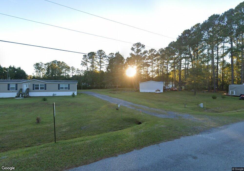
1052 Forest Marsh Loop NE Townsend, GA 31331
Estimated Value: $56,248 - $755,000
3
Beds
4
Baths
1,904
Sq Ft
$184/Sq Ft
Est. Value
About This Home
This home is located at 1052 Forest Marsh Loop NE, Townsend, GA 31331 and is currently estimated at $350,062, approximately $183 per square foot. 1052 Forest Marsh Loop NE is a home with nearby schools including Todd Grant Elementary School, McIntosh County Middle School, and McIntosh County Academy.
Ownership History
Date
Name
Owned For
Owner Type
Purchase Details
Closed on
Oct 3, 2013
Sold by
Johns Tracts & Acreage Inc
Bought by
Jackson Robert L and Jackson Delores
Current Estimated Value
Purchase Details
Closed on
Oct 7, 2003
Sold by
Wiley Tawanna M
Bought by
Johns Tracts and Acreage In
Purchase Details
Closed on
Oct 8, 2001
Sold by
Johns Tracts and Johns Acrea
Bought by
Wiley Tawanna M
Purchase Details
Closed on
Sep 4, 2001
Sold by
Howard Jerome
Bought by
Johns Tracts and Johns Acrea
Purchase Details
Closed on
Jul 30, 1999
Sold by
John Tract Acre
Bought by
Howard John
Create a Home Valuation Report for This Property
The Home Valuation Report is an in-depth analysis detailing your home's value as well as a comparison with similar homes in the area
Purchase History
| Date | Buyer | Sale Price | Title Company |
|---|---|---|---|
| Jackson Robert L | $9,000 | -- | |
| Johns Tracts | $7,500 | -- | |
| Wiley Tawanna M | $8,500 | -- | |
| Johns Tracts | $4,100 | -- | |
| Howard John | $4,900 | -- |
Source: Public Records
Tax History
| Year | Tax Paid | Tax Assessment Tax Assessment Total Assessment is a certain percentage of the fair market value that is determined by local assessors to be the total taxable value of land and additions on the property. | Land | Improvement |
|---|---|---|---|---|
| 2025 | $162 | $5,520 | $3,600 | $1,920 |
| 2024 | $154 | $5,560 | $3,600 | $1,960 |
| 2023 | $156 | $5,600 | $3,600 | $2,000 |
| 2022 | $157 | $5,640 | $3,600 | $2,040 |
| 2021 | $151 | $5,680 | $3,600 | $2,080 |
| 2020 | $130 | $4,600 | $3,600 | $1,000 |
| 2019 | $122 | $4,600 | $3,600 | $1,000 |
| 2018 | $96 | $3,600 | $3,600 | $0 |
| 2017 | $108 | $3,600 | $3,600 | $0 |
| 2016 | $96 | $3,600 | $3,600 | $0 |
| 2015 | $75 | $2,800 | $2,800 | $0 |
| 2014 | $75 | $2,800 | $2,800 | $0 |
Source: Public Records
Map
Nearby Homes
- 1557 Forest Island Dr
- 0 Briar Patch Lot 29 Place
- 0 Briar Patch Lot 28 Place
- 0 Briar Patch Lot 30 Place
- 0 Briar Patch Rd SE Unit 1658040
- 0 Briar Patch Rd SE Unit 1658033
- 0 Briar Patch Rd SE Unit 1658042
- 0 Briar Patch Rd SE Unit 1658032
- 0 Briar Patch Rd SE Unit 1658039
- 0 Briar Patch Rd SE Unit 1658041
- 0 Briar Patch Lot#27 Place
- 0 Briar Patch Lot 15 Place
- 0 Briar Patch Lot 16 Place
- Lot 21 Sutherland Bluff Dr NE
- 1340 Pelican Ln SE
- 1116 Pleasure Point Ln NE
- 1181 Charlton Chase NE
- 1118 Charlton Chase NE
- 1265 Barfield Rd SW
- 14261 US Highway 17
- 600 Forest Marsh Loop
- 71 Forest Marsh Loop
- 1018 Forest Island Dr NE
- 76 Forest Marsh Loop NE
- 1108 Forest Marsh Loop NE
- 530 Lt 38 Forest NE
- 1089 Forest Marsh Loop NE
- 1154 Forest Marsh Loop NE
- 435 Ga Highway 99 Loop NE
- 95 Forest Island Rd
- 2126 Ga Hwy 99
- 1023 Teeny Weeny Place SE
- 1167 Forest Island Dr NE
- 2142 Ga Highway 99
- 2208 Ga Hwy 99
- 1308 Forest Marsh Loop NE
- 1051 Teeny Weeny Ln SE
- 1124 Jackson Rd NE
- 1122 Jackson Rd NE
- 1122 Jackson Rd NE
Your Personal Tour Guide
Ask me questions while you tour the home.