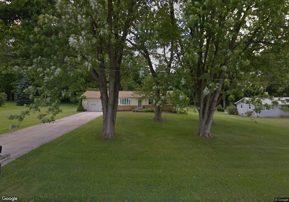
1052 Marianna Dr Mansfield, OH 44903
Estimated Value: $182,717 - $222,000
3
Beds
2
Baths
1,134
Sq Ft
$181/Sq Ft
Est. Value
About This Home
This home is located at 1052 Marianna Dr, Mansfield, OH 44903 and is currently estimated at $205,429, approximately $181 per square foot. 1052 Marianna Dr is a home located in Richland County.
Ownership History
Date
Name
Owned For
Owner Type
Purchase Details
Closed on
Jun 19, 2023
Sold by
Rickert Lynelle G
Bought by
Rickert Cal J
Current Estimated Value
Home Financials for this Owner
Home Financials are based on the most recent Mortgage that was taken out on this home.
Original Mortgage
$48,000
Outstanding Balance
$46,707
Interest Rate
6.35%
Mortgage Type
Seller Take Back
Estimated Equity
$158,722
Create a Home Valuation Report for This Property
The Home Valuation Report is an in-depth analysis detailing your home's value as well as a comparison with similar homes in the area
Home Values in the Area
Average Home Value in this Area
Purchase History
| Date | Buyer | Sale Price | Title Company |
|---|---|---|---|
| Rickert Cal J | $48,000 | None Listed On Document | |
| Rickert Cal J | $48,000 | None Listed On Document |
Source: Public Records
Mortgage History
| Date | Status | Borrower | Loan Amount |
|---|---|---|---|
| Open | Rickert Cal J | $48,000 | |
| Closed | Rickert Cal J | $48,000 |
Source: Public Records
Tax History Compared to Growth
Tax History
| Year | Tax Paid | Tax Assessment Tax Assessment Total Assessment is a certain percentage of the fair market value that is determined by local assessors to be the total taxable value of land and additions on the property. | Land | Improvement |
|---|---|---|---|---|
| 2024 | $1,782 | $36,760 | $7,230 | $29,530 |
| 2023 | $1,782 | $36,760 | $7,230 | $29,530 |
| 2022 | $1,096 | $28,830 | $6,460 | $22,370 |
| 2021 | $1,096 | $28,830 | $6,460 | $22,370 |
| 2020 | $1,104 | $28,830 | $6,460 | $22,370 |
| 2019 | $970 | $24,430 | $5,480 | $18,950 |
| 2018 | $907 | $24,430 | $5,480 | $18,950 |
| 2017 | $893 | $24,430 | $5,480 | $18,950 |
| 2016 | $898 | $24,080 | $5,200 | $18,880 |
| 2015 | $898 | $24,080 | $5,200 | $18,880 |
| 2014 | $853 | $24,080 | $5,200 | $18,880 |
| 2012 | $437 | $25,360 | $5,480 | $19,880 |
Source: Public Records
Map
Nearby Homes
- 929 Antionette Dr
- 1875 Mansfield Lucas Rd
- 0 State Route 39 & I-71 Southeast Quadrant
- 0 State Route 39 & I-71 Northeast Quadrant
- 1679 Pulver Rd
- 794 Mansfield Washington Rd
- 0 Woodville Rd Unit Lot 14952, 14953
- 0 Woodville Rd Unit Lot 14954, 14955
- 0 Woodville Rd Unit Lot 14956, 14957,
- 716 Mansfield Washington Rd
- 2061 Washington North Rd
- 36 Ridge Rd S
- 369 Davidson St
- 405 Plainview Ave
- 419 Pearl Ave
- 0 Mcelroy Rd
- 953 Park Ave E
- 62 Bahl Ave
- 413 Ruby Ave
- 155 Ford Rd N Unit Lot 30
- 1040 Marianna Dr
- 1066 Marianna Dr
- 1030 Marianna Dr
- 1051 Marianna Dr
- 1076 Marianna Dr
- 1031 Marianna Dr
- 1065 Marianna Dr
- 1026 Marianna Dr
- 1075 Marianna Dr
- 1020 Marianna Dr
- 1088 Marianna Dr
- 1021 Marianna Dr
- 1085 Marianna Dr Unit 1087
- 1087 Marianna Dr
- 1098 Marianna Dr
- 1012 Marianna Dr
- 1005 Marianna Dr
- 1004 Marianna Dr
- 1097 Marianna Dr
- 1110 Marianna Dr