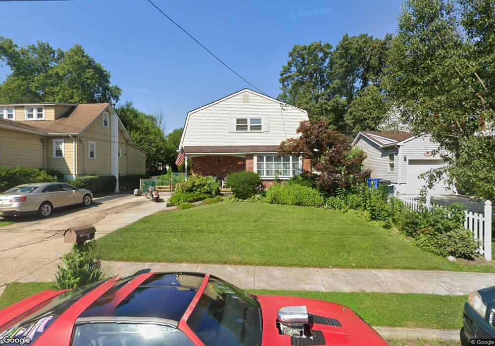
1052 N Maple Ave Maple Shade, NJ 08052
Estimated Value: $414,000 - $608,000
Studio
--
Bath
3,260
Sq Ft
$164/Sq Ft
Est. Value
About This Home
This home is located at 1052 N Maple Ave, Maple Shade, NJ 08052 and is currently estimated at $534,754, approximately $164 per square foot. 1052 N Maple Ave is a home located in Burlington County with nearby schools including Ralph J Steinhauer Elementary School, Maude M. Wilkins Elementary School, and Howard R Yocum School.
Ownership History
Date
Name
Owned For
Owner Type
Purchase Details
Closed on
Aug 31, 2006
Sold by
Haug Karl E and Haug Carol A
Bought by
Drake Nicole A
Current Estimated Value
Home Financials for this Owner
Home Financials are based on the most recent Mortgage that was taken out on this home.
Original Mortgage
$273,360
Outstanding Balance
$241,511
Interest Rate
9.57%
Mortgage Type
Purchase Money Mortgage
Estimated Equity
$293,243
Create a Home Valuation Report for This Property
The Home Valuation Report is an in-depth analysis detailing your home's value as well as a comparison with similar homes in the area
Home Values in the Area
Average Home Value in this Area
Purchase History
| Date | Buyer | Sale Price | Title Company |
|---|---|---|---|
| Drake Nicole A | $315,000 | Commonwealth Land Title Insu |
Source: Public Records
Mortgage History
| Date | Status | Borrower | Loan Amount |
|---|---|---|---|
| Open | Drake Nicole A | $273,360 |
Source: Public Records
Tax History
| Year | Tax Paid | Tax Assessment Tax Assessment Total Assessment is a certain percentage of the fair market value that is determined by local assessors to be the total taxable value of land and additions on the property. | Land | Improvement |
|---|---|---|---|---|
| 2025 | $10,629 | $280,000 | $52,000 | $228,000 |
| 2024 | $10,321 | $280,000 | $52,000 | $228,000 |
| 2023 | $10,321 | $280,000 | $52,000 | $228,000 |
| 2022 | $10,161 | $280,000 | $52,000 | $228,000 |
| 2021 | $10,063 | $280,000 | $52,000 | $228,000 |
| 2020 | $10,091 | $280,000 | $52,000 | $228,000 |
| 2019 | $9,722 | $280,000 | $52,000 | $228,000 |
| 2018 | $9,554 | $280,000 | $52,000 | $228,000 |
| 2017 | $9,442 | $280,000 | $52,000 | $228,000 |
| 2016 | $9,302 | $280,000 | $52,000 | $228,000 |
| 2015 | $9,100 | $280,000 | $52,000 | $228,000 |
| 2014 | $8,823 | $280,000 | $52,000 | $228,000 |
Source: Public Records
Map
Nearby Homes
- 27 Indian Queen Ln
- 400 N Forklanding Rd
- 728 Haverford Ave
- 5 Exeter Place
- 712 E Woodlawn Ave
- 331 Collins Ln
- 207 E Park Ave
- 411 A3 Stiles Ave Unit A-3
- 411 C12 Stiles Ave Unit C-12
- 411 A2 Stiles Ave Unit A-2
- 2819 Haddonfield Rd
- 3444 New Jersey Ave
- 20 Kohlmyer Dr
- 21 Kohlmyer Dr
- 22 Theodore Ave
- 2414 Church Rd
- 18 Hamilton Ct
- 8661 Wyndam Rd
- 8315 Stockton Ave
- 8539 Bryn Mawr Ave
- 1048 N Maple Ave
- 1054 N Maple Ave
- 1044 N Maple Ave
- 116 High St
- 1042 N Maple Ave
- 128 High St
- 1045 N Maple Ave
- 1039 N Maple Ave
- 1049 Fernwood Ave
- 1043 N Maple Ave
- 1040 N Maple Ave
- 1041 N Maple Ave
- 228 High St
- 202 High St
- 1043 Fernwood Ave
- 1031 N Maple Ave
- 1041 Fernwood Ave
- 104 High St
- 1036 N Maple Ave
- 117 High St
Your Personal Tour Guide
Ask me questions while you tour the home.