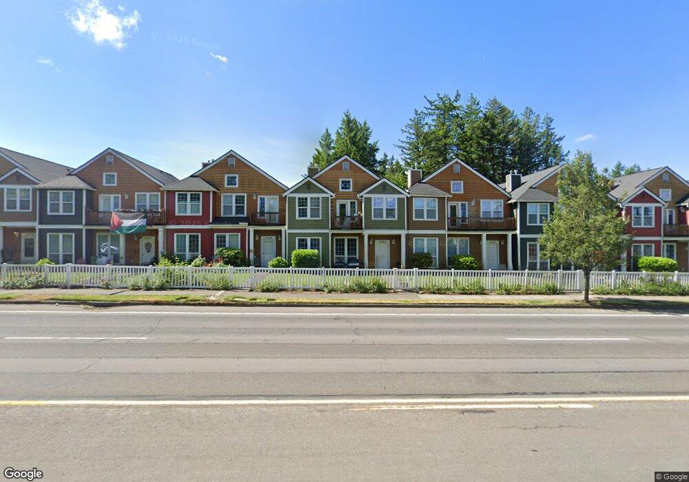
1052 NW Burnside Rd Unit 5 Gresham, OR 97030
Northwest Gresham NeighborhoodEstimated Value: $328,000 - $365,000
3
Beds
7
Baths
1,675
Sq Ft
$207/Sq Ft
Est. Value
About This Home
This home is located at 1052 NW Burnside Rd Unit 5, Gresham, OR 97030 and is currently estimated at $346,429, approximately $206 per square foot. 1052 NW Burnside Rd Unit 5 is a home located in Multnomah County with nearby schools including North Gresham Elementary School, Clear Creek Middle School, and Gresham High School.
Ownership History
Date
Name
Owned For
Owner Type
Purchase Details
Closed on
Jan 24, 2017
Sold by
Heath Scott
Bought by
Phillips William T and Lockard Amber J
Current Estimated Value
Home Financials for this Owner
Home Financials are based on the most recent Mortgage that was taken out on this home.
Original Mortgage
$20,540,700
Outstanding Balance
$16,890,902
Interest Rate
4.13%
Mortgage Type
FHA
Estimated Equity
-$16,544,473
Purchase Details
Closed on
Apr 22, 2003
Sold by
Federal National Mortgage Association
Bought by
Leutwyler Joann M
Home Financials for this Owner
Home Financials are based on the most recent Mortgage that was taken out on this home.
Original Mortgage
$107,900
Interest Rate
5.54%
Mortgage Type
Purchase Money Mortgage
Purchase Details
Closed on
Feb 19, 2003
Sold by
Mortgage Electronic Registration Systems
Bought by
Federal National Mortgage Association
Purchase Details
Closed on
Jan 16, 2001
Sold by
Parker Development Northwest Inc
Bought by
Lorentz M Kathleen
Home Financials for this Owner
Home Financials are based on the most recent Mortgage that was taken out on this home.
Original Mortgage
$170,900
Interest Rate
7.54%
Mortgage Type
Purchase Money Mortgage
Create a Home Valuation Report for This Property
The Home Valuation Report is an in-depth analysis detailing your home's value as well as a comparison with similar homes in the area
Home Values in the Area
Average Home Value in this Area
Purchase History
| Date | Buyer | Sale Price | Title Company |
|---|---|---|---|
| Phillips William T | $212,500 | Ticor Title | |
| Heath Scott | -- | Ticor Title | |
| Leutwyler Joann M | $134,900 | Chicago Title Insurance Comp | |
| Federal National Mortgage Association | $145,422 | Fatco | |
| Mortgage Electronic Registration Systems | $145,422 | Fatco | |
| Lorentz M Kathleen | $179,900 | Fidelity National Title Co |
Source: Public Records
Mortgage History
| Date | Status | Borrower | Loan Amount |
|---|---|---|---|
| Open | Phillips William T | $20,540,700 | |
| Previous Owner | Leutwyler Joann M | $107,900 | |
| Previous Owner | Lorentz M Kathleen | $170,900 | |
| Closed | Leutwyler Joann M | $26,950 |
Source: Public Records
Tax History
| Year | Tax Paid | Tax Assessment Tax Assessment Total Assessment is a certain percentage of the fair market value that is determined by local assessors to be the total taxable value of land and additions on the property. | Land | Improvement |
|---|---|---|---|---|
| 2025 | $4,249 | $208,820 | -- | -- |
| 2024 | $4,068 | $202,740 | -- | -- |
| 2023 | $3,706 | $196,840 | $0 | $0 |
| 2022 | $3,602 | $191,110 | $0 | $0 |
| 2021 | $3,512 | $185,550 | $0 | $0 |
| 2020 | $3,304 | $180,150 | $0 | $0 |
| 2019 | $3,218 | $174,910 | $0 | $0 |
| 2018 | $3,068 | $169,820 | $0 | $0 |
| 2017 | $2,944 | $164,880 | $0 | $0 |
| 2016 | $2,596 | $160,080 | $0 | $0 |
Source: Public Records
Map
Nearby Homes
- 21033 SE Clay Ct
- 2013 NW Bella Vista Dr
- 1811 NW 19th St
- 21532 SE Alder St
- 1861 NW Wonderview Ave
- 21016 SE Stark St Unit 71
- 21016 SE Stark St Unit 69
- 21400 SE Stark St Unit 2
- 21260 SE Stark St
- 1596 NW Riverview Ave
- 1325 NW 9th St
- 1035 SE 225th Ave
- 21525 SE Oak St
- 209 SE 214th Ave
- 1387 NW Riverview Ave Unit 14B
- 54 NW 13th St
- 210 SE 218th Ave
- 132 SE 214th Ave
- 21553 SE Ankeny Terrace
- 70 NW Birdsdale Ave
- 1052 NW Burnside Rd
- 1056 NW Council Dr
- 1056 NW Burnside Rd Unit 4
- 1056 NW Burnside Rd
- 1048 NW Burnside Rd Unit 6
- 1048 NW Burnside Rd
- 1064 NW Burnside Rd Unit 3
- 1064 NW Burnside Rd
- 1044 NW Burnside Rd Unit 7
- 1044 NW Burnside Rd
- 1057 NW Council Dr
- 1053 NW Council Dr Unit 15
- 1059 NW Council Dr Unit 18
- 1059 NW Council Dr
- 1051 NW Council Dr Unit 17
- 1051 NW Council Dr
- 1063 NW Council Dr Unit 19
- 1063 NW Council Dr
- 1068 NW Burnside Rd Unit 2
- 1068 NW Burnside Rd
Your Personal Tour Guide
Ask me questions while you tour the home.