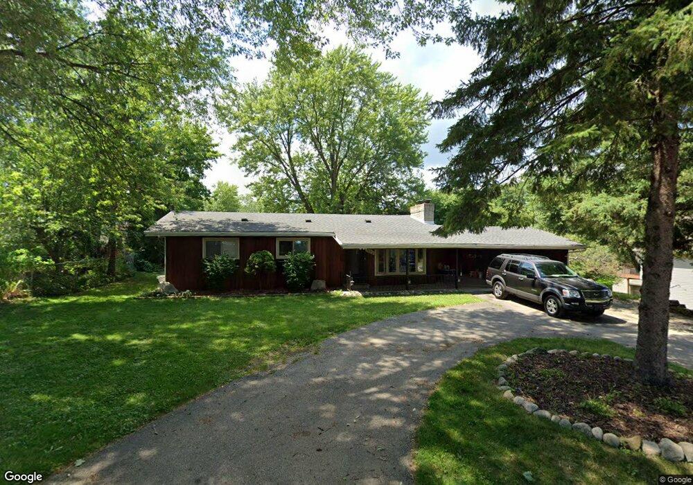
1052 Robinwood Ave Unit Bldg-Unit Waterford, MI 48328
Waterford Township NeighborhoodEstimated Value: $232,000 - $273,938
3
Beds
2
Baths
1,075
Sq Ft
$238/Sq Ft
Est. Value
About This Home
This home is located at 1052 Robinwood Ave Unit Bldg-Unit, Waterford, MI 48328 and is currently estimated at $255,485, approximately $237 per square foot. 1052 Robinwood Ave Unit Bldg-Unit is a home located in Oakland County with nearby schools including Haviland Elementary School, Pierce Middle School, and Waterford Mott High School.
Ownership History
Date
Name
Owned For
Owner Type
Purchase Details
Closed on
Feb 16, 2018
Sold by
Clements Katrinia and Hammons Katrina
Bought by
Harrington Samantha M and Puffer James
Current Estimated Value
Home Financials for this Owner
Home Financials are based on the most recent Mortgage that was taken out on this home.
Original Mortgage
$128,700
Outstanding Balance
$108,888
Interest Rate
3.95%
Mortgage Type
New Conventional
Estimated Equity
$146,597
Purchase Details
Closed on
Jun 1, 2005
Sold by
Chapdelaine Delmo E and Chapdelaine Darlene M
Bought by
Hammons Katrina
Create a Home Valuation Report for This Property
The Home Valuation Report is an in-depth analysis detailing your home's value as well as a comparison with similar homes in the area
Home Values in the Area
Average Home Value in this Area
Purchase History
| Date | Buyer | Sale Price | Title Company |
|---|---|---|---|
| Harrington Samantha M | $143,000 | Stewart Title Group | |
| Hammons Katrina | $159,000 | -- |
Source: Public Records
Mortgage History
| Date | Status | Borrower | Loan Amount |
|---|---|---|---|
| Open | Harrington Samantha M | $128,700 |
Source: Public Records
Tax History Compared to Growth
Tax History
| Year | Tax Paid | Tax Assessment Tax Assessment Total Assessment is a certain percentage of the fair market value that is determined by local assessors to be the total taxable value of land and additions on the property. | Land | Improvement |
|---|---|---|---|---|
| 2024 | $1,937 | $95,220 | $0 | $0 |
| 2023 | $1,848 | $92,120 | $0 | $0 |
| 2022 | $2,975 | $87,690 | $0 | $0 |
| 2021 | $2,813 | $85,770 | $0 | $0 |
| 2020 | $1,692 | $85,480 | $0 | $0 |
| 2019 | $2,748 | $77,160 | $0 | $0 |
| 2018 | $2,118 | $75,610 | $0 | $0 |
| 2017 | $3,030 | $75,610 | $0 | $0 |
| 2016 | $3,446 | $67,090 | $0 | $0 |
| 2015 | -- | $62,200 | $0 | $0 |
| 2014 | -- | $58,610 | $0 | $0 |
| 2011 | -- | $54,870 | $0 | $0 |
Source: Public Records
Map
Nearby Homes
- 1071 Pelham Blvd
- 1036 Pelham Blvd
- 4616 Cass Elizabeth Rd
- 4390 Cass Elizabeth Rd
- 1062 Forest Bay Dr
- 4773 Chipman Dr
- 4275 Forest Valley Ct
- 4080 Cass Elizabeth Rd
- 0000 VL (lot 016) Parkway St
- 1029 Monica Place
- 4098 Parkway
- 4041 Chenlot Ln
- 1522 Oregon Ct
- 5094 Coshocton Dr
- 5010 Cass Elizabeth Rd
- 1677 Parkview Ave
- 1265 Oregon Blvd
- 3891 Oak Knoll Rd
- 1575 Parkway
- 4227 Lanette Dr
- 1052 Robinwood Ave
- 1038 Robinwood Ave
- 1064 Robinwood Ave
- 1029 Olson Ave
- 1015 Olson Ave
- 1043 Olson Ave
- 1051 Olson Ave
- 4478 Woodridge Ct Unit 10
- 4503 Cass Elizabeth Rd
- 4511 Cass Elizabeth Rd
- 4473 Woodridge Ct Unit 11
- 4470 Woodridge Ct
- 4531 Cass Elizabeth Rd
- 1065 Olson Ave
- 1010 Olson Ave
- 998 Olson Ave
- 4465 Woodridge Ct
- 980 Olson Ave
- 1050 Olson Ave
- 970 Olson Ave