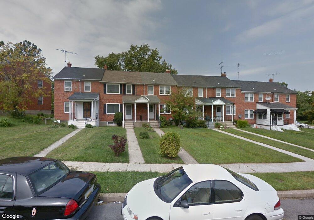
1052 Upnor Rd Baltimore, MD 21212
Cameron Village NeighborhoodEstimated Value: $169,072 - $254,000
2
Beds
2
Baths
1,008
Sq Ft
$210/Sq Ft
Est. Value
About This Home
This home is located at 1052 Upnor Rd, Baltimore, MD 21212 and is currently estimated at $211,536, approximately $209 per square foot. 1052 Upnor Rd is a home located in Baltimore City with nearby schools including Booker T. Washington Middle School, Paul Laurence Dunbar Community High School, and Frederick Douglass High School.
Ownership History
Date
Name
Owned For
Owner Type
Purchase Details
Closed on
May 11, 2007
Sold by
Smith Pattie M
Bought by
Walker Jennifer
Current Estimated Value
Home Financials for this Owner
Home Financials are based on the most recent Mortgage that was taken out on this home.
Original Mortgage
$132,000
Outstanding Balance
$80,335
Interest Rate
6.18%
Mortgage Type
Purchase Money Mortgage
Estimated Equity
$131,201
Purchase Details
Closed on
Apr 16, 2007
Sold by
Smith Pattie M
Bought by
Walker Jennifer
Home Financials for this Owner
Home Financials are based on the most recent Mortgage that was taken out on this home.
Original Mortgage
$132,000
Outstanding Balance
$80,335
Interest Rate
6.18%
Mortgage Type
Purchase Money Mortgage
Estimated Equity
$131,201
Create a Home Valuation Report for This Property
The Home Valuation Report is an in-depth analysis detailing your home's value as well as a comparison with similar homes in the area
Home Values in the Area
Average Home Value in this Area
Purchase History
| Date | Buyer | Sale Price | Title Company |
|---|---|---|---|
| Walker Jennifer | $132,000 | -- | |
| Walker Jennifer | $132,000 | -- |
Source: Public Records
Mortgage History
| Date | Status | Borrower | Loan Amount |
|---|---|---|---|
| Open | Walker Jennifer | $132,000 | |
| Closed | Walker Jennifer | $132,000 |
Source: Public Records
Tax History Compared to Growth
Tax History
| Year | Tax Paid | Tax Assessment Tax Assessment Total Assessment is a certain percentage of the fair market value that is determined by local assessors to be the total taxable value of land and additions on the property. | Land | Improvement |
|---|---|---|---|---|
| 2025 | $2,228 | $116,000 | -- | -- |
| 2024 | $2,228 | $104,100 | $20,000 | $84,100 |
| 2023 | $2,160 | $101,500 | $0 | $0 |
| 2022 | $2,101 | $98,900 | $0 | $0 |
| 2021 | $2,273 | $96,300 | $20,000 | $76,300 |
| 2020 | $2,057 | $96,300 | $20,000 | $76,300 |
| 2019 | $1,986 | $96,300 | $20,000 | $76,300 |
| 2018 | $1,936 | $99,500 | $20,000 | $79,500 |
| 2017 | $1,876 | $93,000 | $0 | $0 |
| 2016 | $2,198 | $86,500 | $0 | $0 |
| 2015 | $2,198 | $80,000 | $0 | $0 |
| 2014 | $2,198 | $80,000 | $0 | $0 |
Source: Public Records
Map
Nearby Homes
- 5533 Midwood Ave
- 5626 Midwood Ave
- 1220 Harwood Ave
- 1222 Harwood Ave
- 1049 Reverdy Rd
- 1224 Sheridan Ave
- 912 Evesham Ave
- 619 Harwood Ave
- 808 Bradhurst Rd
- 840 Benninghaus Rd
- 917 Reverdy Rd
- 616 Harwood Ave
- 5622 Alhambra Ave
- 1033 Marlau Dr
- 5501 Craig Ave
- 834 Glenwood Ave
- 1002 Beaumont Ave
- 820 Evesham Ave
- 728 Glenwood Ave
- 1200 Glenhaven Rd