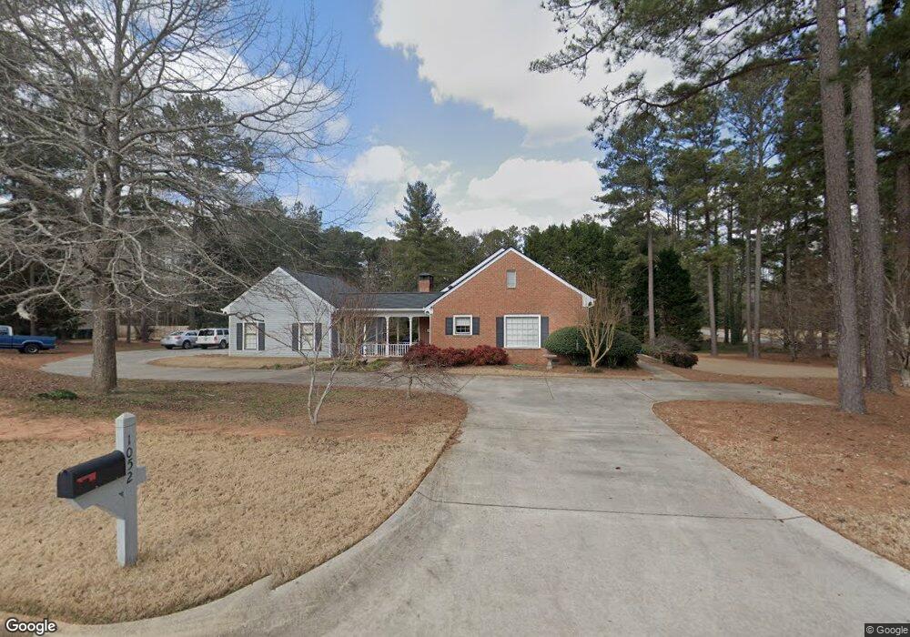
1052 Vine Ct SE Conyers, GA 30013
Estimated Value: $282,647 - $360,000
3
Beds
2
Baths
1,917
Sq Ft
$167/Sq Ft
Est. Value
About This Home
This home is located at 1052 Vine Ct SE, Conyers, GA 30013 and is currently estimated at $319,912, approximately $166 per square foot. 1052 Vine Ct SE is a home located in Rockdale County with nearby schools including Flat Shoals Elementary School, Memorial Middle School, and Rockdale County High School.
Ownership History
Date
Name
Owned For
Owner Type
Purchase Details
Closed on
Sep 27, 2002
Sold by
Dedona Mitchell N
Bought by
Bland Gary and Bland Sandra
Current Estimated Value
Purchase Details
Closed on
Aug 21, 1998
Sold by
Darty Deborah
Bought by
Dedona Mitchell N
Home Financials for this Owner
Home Financials are based on the most recent Mortgage that was taken out on this home.
Original Mortgage
$148,000
Interest Rate
6.92%
Mortgage Type
New Conventional
Create a Home Valuation Report for This Property
The Home Valuation Report is an in-depth analysis detailing your home's value as well as a comparison with similar homes in the area
Home Values in the Area
Average Home Value in this Area
Purchase History
| Date | Buyer | Sale Price | Title Company |
|---|---|---|---|
| Bland Gary | $198,000 | -- | |
| Dedona Mitchell N | $185,000 | -- |
Source: Public Records
Mortgage History
| Date | Status | Borrower | Loan Amount |
|---|---|---|---|
| Previous Owner | Dedona Mitchell N | $148,000 |
Source: Public Records
Tax History Compared to Growth
Tax History
| Year | Tax Paid | Tax Assessment Tax Assessment Total Assessment is a certain percentage of the fair market value that is determined by local assessors to be the total taxable value of land and additions on the property. | Land | Improvement |
|---|---|---|---|---|
| 2024 | $1,831 | $104,840 | $29,360 | $75,480 |
| 2023 | $1,512 | $96,960 | $29,360 | $67,600 |
| 2022 | $1,700 | $92,000 | $29,360 | $62,640 |
| 2021 | $1,592 | $84,080 | $27,400 | $56,680 |
| 2020 | $1,337 | $75,000 | $20,880 | $54,120 |
| 2019 | $888 | $59,000 | $14,240 | $44,760 |
| 2018 | $707 | $53,000 | $14,240 | $38,760 |
| 2017 | $557 | $47,960 | $14,240 | $33,720 |
| 2016 | $358 | $43,840 | $10,120 | $33,720 |
| 2015 | $454 | $47,160 | $10,120 | $37,040 |
| 2014 | $133 | $38,640 | $9,000 | $29,640 |
| 2013 | -- | $53,000 | $14,920 | $38,080 |
Source: Public Records
Map
Nearby Homes
- 2474 Harvest Dr SE
- 1019 Henna Ct SE
- 1180 Azalea Cir SE
- 2684 Harvest Dr SE
- 1260 Sweet Shrub Ln SE
- 1242 Saxony Dr SE
- 1402 Aramore Dr SE
- 2197 Boxwood Cir
- 2464 Lennox Rd SE
- 1408 Aramore Dr SE
- 2754 Harvest Dr SE
- 2561 Old Salem Cir SE
- 2608 Downing Park Dr SE
- Boston Plan at Millers Pointe
- Atlanta Plan at Millers Pointe
- Columbus Plan at Millers Pointe
- Astrid Plan at Alder Park
- Harrison Plan at Alder Park
- Baker Plan at Alder Park
- Oliver Plan at Alder Park
- 2417 Harvest Dr SE
- 1034 Vine Ct SE Unit 7
- 1034 Vine Ct SE
- 1057 Vine Ct SE
- 2442 Harvest Dr SE
- 2426 Harvest Dr SE
- 1035 Vine Ct SE
- 2458 Harvest Dr SE
- 1051 Vineyard Dr SE
- 2412 Harvest Dr SE
- 1029 Vineyard Dr SE
- 1024 Vine Ct SE
- 1085 Vineyard Dr SE
- 0 Vineyard Dr SE Unit 8684204
- 0 Vineyard Dr SE Unit 8440147
- 0 Vineyard Dr SE Unit 8569889
- 0 Vineyard Dr SE Unit 8841971
- 0 Vineyard Dr SE Unit 8862371
- 0 Vineyard Dr SE Unit 3174936
- 0 Vineyard Dr SE Unit 3194181