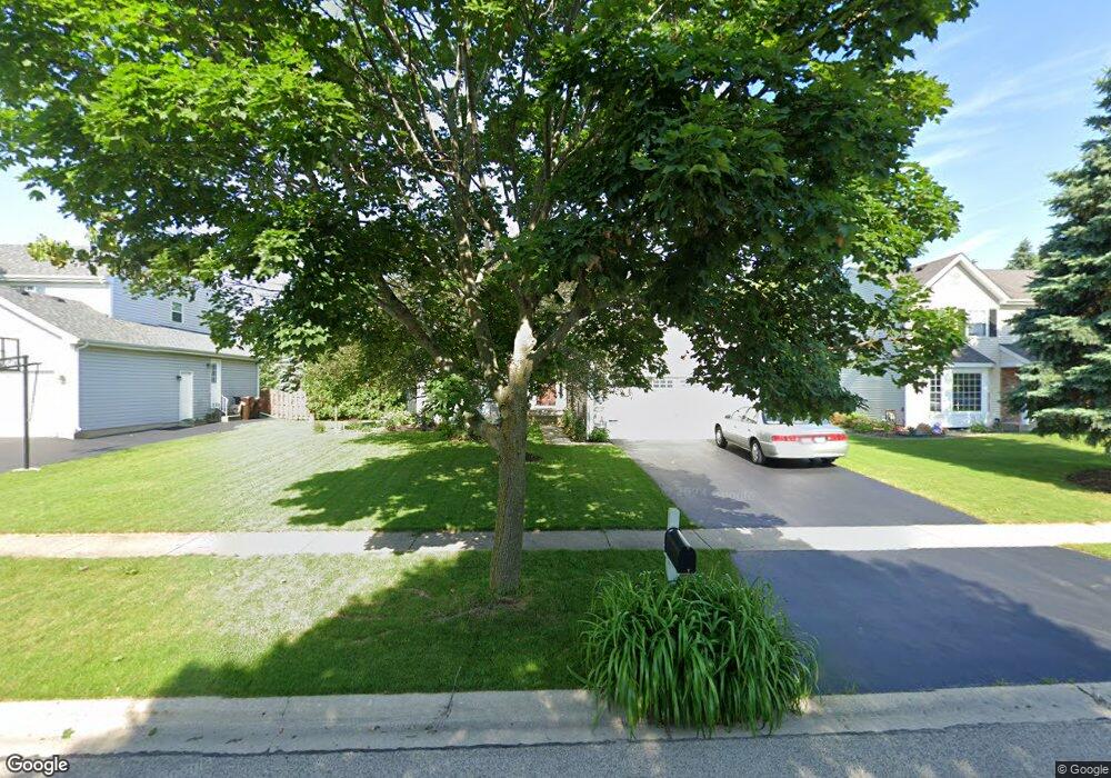
1052 W Stone Creek Cir Crystal Lake, IL 60014
Estimated Value: $390,578 - $438,000
--
Bed
--
Bath
2,004
Sq Ft
$210/Sq Ft
Est. Value
About This Home
This home is located at 1052 W Stone Creek Cir, Crystal Lake, IL 60014 and is currently estimated at $419,895, approximately $209 per square foot. 1052 W Stone Creek Cir is a home located in McHenry County with nearby schools including Woods Creek Elementary School, Lundahl Middle School, and Crystal Lake South High School.
Ownership History
Date
Name
Owned For
Owner Type
Purchase Details
Closed on
Jul 22, 1998
Sold by
Teise Richard D and Teise Jennifer A Boyd
Bought by
Knudsen Glen E and Knudsen Lara E
Current Estimated Value
Home Financials for this Owner
Home Financials are based on the most recent Mortgage that was taken out on this home.
Original Mortgage
$161,000
Interest Rate
6.99%
Create a Home Valuation Report for This Property
The Home Valuation Report is an in-depth analysis detailing your home's value as well as a comparison with similar homes in the area
Home Values in the Area
Average Home Value in this Area
Purchase History
| Date | Buyer | Sale Price | Title Company |
|---|---|---|---|
| Knudsen Glen E | $186,000 | -- |
Source: Public Records
Mortgage History
| Date | Status | Borrower | Loan Amount |
|---|---|---|---|
| Open | Glen E Knudsen E | $35,000 | |
| Closed | Knudsen Glen E | $25,000 | |
| Closed | Knudsen Glen E | $146,000 | |
| Closed | Knudsen Glen E | $10,000 | |
| Closed | Knudsen Glen E | $179,000 | |
| Closed | Knudsen Glen E | $153,740 | |
| Closed | Knudsen Glen E | $25,000 | |
| Closed | Knudsen Glen E | $161,000 |
Source: Public Records
Tax History Compared to Growth
Tax History
| Year | Tax Paid | Tax Assessment Tax Assessment Total Assessment is a certain percentage of the fair market value that is determined by local assessors to be the total taxable value of land and additions on the property. | Land | Improvement |
|---|---|---|---|---|
| 2024 | $8,733 | $112,156 | $11,180 | $100,976 |
| 2023 | $8,456 | $100,751 | $10,043 | $90,708 |
| 2022 | $8,043 | $91,742 | $9,145 | $82,597 |
| 2021 | $7,693 | $86,403 | $8,613 | $77,790 |
| 2020 | $7,568 | $84,098 | $8,383 | $75,715 |
| 2019 | $7,474 | $81,951 | $8,169 | $73,782 |
| 2018 | $7,641 | $81,746 | $9,193 | $72,553 |
| 2017 | $7,601 | $77,039 | $8,664 | $68,375 |
| 2016 | $7,512 | $73,245 | $8,237 | $65,008 |
| 2013 | -- | $72,391 | $14,158 | $58,233 |
Source: Public Records
Map
Nearby Homes
- 1677 Driftwood Ln
- 1582 Dogwood Dr Unit 4
- 1657 Flagstone Dr
- 1849 Moorland Ln
- 1644 Brigham Ln
- 1818 Woodhaven Dr
- 1839 Kings Gate Ln
- 9012 Swanson Rd
- 1644 Stockton Ln
- 1542 Candlewood Dr
- 4 Point o Woods Ct
- 761 Village Rd
- 1420 Trailwood Dr
- 1549 Hollytree Ln Unit 2
- 1484 Rolling Hills Dr
- 3975 Peartree Dr
- 3965 Peartree Dr
- 6 Sherwood Ct
- 1578 Grouse Way
- 1823 Somerfield Ln
- 1048 W Stone Creek Cir
- 1056 W Stone Creek Cir
- 1044 W Stone Creek Cir
- 1060 W Stone Creek Cir
- 1653 Driftwood Ln
- 1645 Driftwood Ln
- 1661 Driftwood Ln
- 1055 W Stone Creek Cir
- 1040 W Stone Creek Cir
- 1047 W Stone Creek Cir
- 1669 Driftwood Ln
- 1637 Driftwood Ln
- 1059 W Stone Creek Cir
- 1051 W Stone Creek Cir
- 1043 W Stone Creek Cir
- 1036 W Stone Creek Cir
- 1039 W Stone Creek Cir
- 1075 W Stone Creek Cir
- 1629 Driftwood Ln
- 1068 W Stone Creek Cir