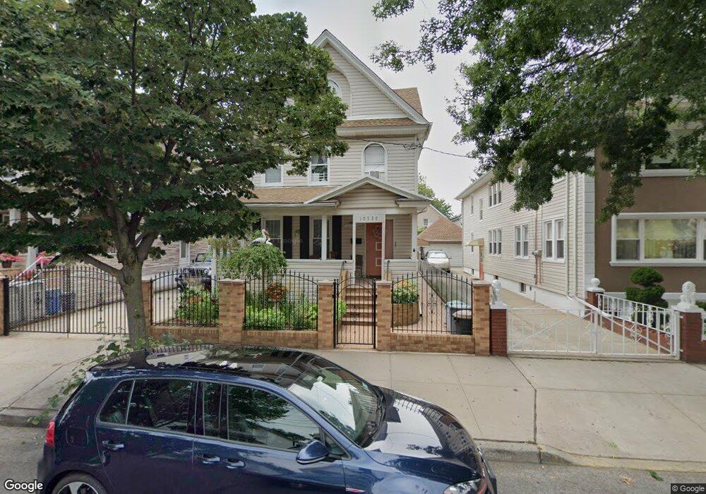
10520 93rd St Ozone Park, NY 11417
Ozone Park NeighborhoodEstimated Value: $832,217 - $1,151,000
--
Bed
--
Bath
2,228
Sq Ft
$466/Sq Ft
Est. Value
About This Home
This home is located at 10520 93rd St, Ozone Park, NY 11417 and is currently estimated at $1,038,054, approximately $465 per square foot. 10520 93rd St is a home located in Queens County with nearby schools including P.S. 63 - Old South, Robert H. Goddard High School, and Divine Mercy Catholic Academy.
Ownership History
Date
Name
Owned For
Owner Type
Purchase Details
Closed on
Dec 21, 1999
Sold by
Makosiej Frank and Makosiej Mary
Bought by
Sosnicki Marian and Sosnicka Halina
Current Estimated Value
Home Financials for this Owner
Home Financials are based on the most recent Mortgage that was taken out on this home.
Original Mortgage
$170,050
Interest Rate
7.83%
Create a Home Valuation Report for This Property
The Home Valuation Report is an in-depth analysis detailing your home's value as well as a comparison with similar homes in the area
Home Values in the Area
Average Home Value in this Area
Purchase History
| Date | Buyer | Sale Price | Title Company |
|---|---|---|---|
| Sosnicki Marian | $179,000 | First American Title Ins Co |
Source: Public Records
Mortgage History
| Date | Status | Borrower | Loan Amount |
|---|---|---|---|
| Closed | Sosnicki Marian | $170,050 |
Source: Public Records
Tax History Compared to Growth
Tax History
| Year | Tax Paid | Tax Assessment Tax Assessment Total Assessment is a certain percentage of the fair market value that is determined by local assessors to be the total taxable value of land and additions on the property. | Land | Improvement |
|---|---|---|---|---|
| 2025 | $8,553 | $45,138 | $12,877 | $32,261 |
| 2024 | $8,553 | $42,583 | $12,099 | $30,484 |
| 2023 | $8,122 | $40,436 | $11,871 | $28,565 |
| 2022 | $7,697 | $56,940 | $16,980 | $39,960 |
| 2021 | $8,114 | $51,780 | $16,980 | $34,800 |
| 2020 | $7,962 | $47,880 | $16,980 | $30,900 |
| 2019 | $7,423 | $52,740 | $16,980 | $35,760 |
| 2018 | $6,869 | $33,697 | $11,140 | $22,557 |
| 2017 | $6,550 | $32,131 | $11,643 | $20,488 |
| 2016 | $6,423 | $32,131 | $11,643 | $20,488 |
| 2015 | $3,436 | $31,346 | $16,825 | $14,521 |
| 2014 | $3,436 | $29,572 | $16,522 | $13,050 |
Source: Public Records
Map
Nearby Homes
- 92-17 Liberty Ave
- 92-18 Liberty Ave
- 93-18 103rd Ave
- 10333 Woodhaven Blvd
- 103-48 96th St
- 10159 92nd St
- 103-47 96th St
- 107-20 92nd St
- 101-46 95th St
- 107-50 90th St
- 107-19 96th St
- 105-39 88th St
- 105-47 88 St
- 107-62 93rd St
- 10766 92nd St
- 8915 102nd Rd
- 10751 89th St
- 87-16 Liberty Ave
- 9108 Sutter Ave
- 101-14 95th St