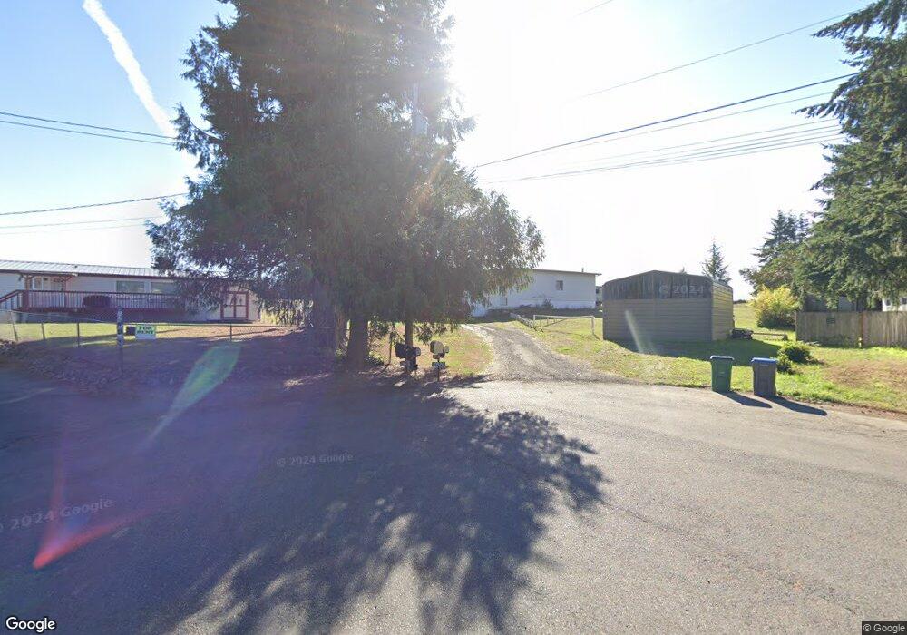
10520 Left Wing Ct NW Silverdale, WA 98383
Estimated Value: $445,000 - $662,000
2
Beds
1
Bath
1,040
Sq Ft
$554/Sq Ft
Est. Value
About This Home
This home is located at 10520 Left Wing Ct NW, Silverdale, WA 98383 and is currently estimated at $576,107, approximately $553 per square foot. 10520 Left Wing Ct NW is a home located in Kitsap County with nearby schools including Cougar Valley Elementary School, Central Kitsap Middle School, and Central Kitsap High School.
Ownership History
Date
Name
Owned For
Owner Type
Purchase Details
Closed on
Sep 8, 1997
Sold by
Clifton Delmar E
Bought by
Clifton Delmar E and Clifton Orlaine F
Current Estimated Value
Home Financials for this Owner
Home Financials are based on the most recent Mortgage that was taken out on this home.
Original Mortgage
$33,000
Interest Rate
7.34%
Create a Home Valuation Report for This Property
The Home Valuation Report is an in-depth analysis detailing your home's value as well as a comparison with similar homes in the area
Home Values in the Area
Average Home Value in this Area
Purchase History
| Date | Buyer | Sale Price | Title Company |
|---|---|---|---|
| Clifton Delmar E | -- | First American Title Ins Co |
Source: Public Records
Mortgage History
| Date | Status | Borrower | Loan Amount |
|---|---|---|---|
| Closed | Clifton Delmar E | $33,000 |
Source: Public Records
Tax History Compared to Growth
Tax History
| Year | Tax Paid | Tax Assessment Tax Assessment Total Assessment is a certain percentage of the fair market value that is determined by local assessors to be the total taxable value of land and additions on the property. | Land | Improvement |
|---|---|---|---|---|
| 2026 | $4,704 | $499,740 | $148,820 | $350,920 |
| 2025 | $4,704 | $499,740 | $148,820 | $350,920 |
| 2024 | $4,575 | $499,740 | $148,820 | $350,920 |
| 2023 | $4,038 | $437,570 | $146,580 | $290,990 |
| 2022 | $3,717 | $354,590 | $122,310 | $232,280 |
| 2021 | $3,729 | $339,200 | $116,710 | $222,490 |
| 2020 | $3,376 | $310,590 | $106,440 | $204,150 |
| 2019 | $3,250 | $289,660 | $98,970 | $190,690 |
| 2018 | $3,620 | $226,250 | $96,480 | $129,770 |
| 2017 | $2,910 | $226,250 | $96,480 | $129,770 |
| 2016 | $2,890 | $207,860 | $96,480 | $111,380 |
| 2015 | $2,767 | $207,860 | $96,480 | $111,380 |
| 2014 | -- | $203,770 | $96,480 | $107,290 |
| 2013 | -- | $203,770 | $96,480 | $107,290 |
Source: Public Records
Map
Nearby Homes
- 10656 Treasure Dr NW Unit 107
- 10656 Treasure Dr NW
- 10625 Treasure Dr NW
- 10625 Treasure Dr NW Unit 123
- 10637 Treasure Dr NW Unit 121
- 10637 Treasure Dr NW
- 10661 Treasure Dr NW
- 10661 Treasure Dr NW Unit 117
- 10667 Treasure Dr NW Unit 116
- 10685 Treasure Dr NW Unit 113
- 10662 Treasure Dr NW Unit 108
- Oscar Plan at Sterling Hills
- Coronado Plan at Sterling Hills
- 10662 Treasure Dr NW
- Hemingway Plan at Sterling Hills
- 10673 Treasure Dr NW
- 6550 NW Mathwig Ln
- 777 NW Anderson Hill Rd
- 10330 White Deer Place NW
- 9371 Willamette Meridian Rd NW
- 10510 Left Wing Ct NW
- 10530 Left Wing Ct NW
- 10444 Right Wing Ct NW
- 10540 Left Wing Ct NW
- 10500 Left Wing Ct NW
- 10460 Right Wing Ct NW
- 10550 Left Wing Ct NW
- 10470 Right Wing Ct NW
- 10480 Willamette Meridian Rd NW
- 10480 Wilamt Mer Rd NW
- 6182 Apex Airport Rd
- 6160 Apex Rd NW
- 10610 Contact Ct NW
- 6182 Apex Rd NW
- 6178 Apex Rd NW
- 10570 Willamette Meridian Rd NW
- 10430 Right Wing Ct NW
- 6174 Apex Rd NW
- 10580 Contact Ct NW
