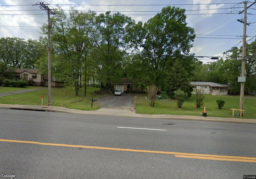
10521 Highway 107 Sherwood, AR 72120
Estimated Value: $197,388 - $273,000
--
Bed
2
Baths
2,228
Sq Ft
$110/Sq Ft
Est. Value
About This Home
This home is located at 10521 Highway 107, Sherwood, AR 72120 and is currently estimated at $244,347, approximately $109 per square foot. 10521 Highway 107 is a home located in Pulaski County with nearby schools including Sylvan Hills Elementary School, Sylvan Hills Middle School, and Sylvan Hills High School.
Ownership History
Date
Name
Owned For
Owner Type
Purchase Details
Closed on
Aug 15, 1997
Sold by
Lynn Thomas Ted N and Lynn Thomas Gloria
Bought by
Sullivan Carroll Louis and Sullivan Brenda L
Current Estimated Value
Home Financials for this Owner
Home Financials are based on the most recent Mortgage that was taken out on this home.
Original Mortgage
$66,700
Outstanding Balance
$9,936
Interest Rate
7.47%
Mortgage Type
FHA
Estimated Equity
$234,411
Create a Home Valuation Report for This Property
The Home Valuation Report is an in-depth analysis detailing your home's value as well as a comparison with similar homes in the area
Home Values in the Area
Average Home Value in this Area
Purchase History
| Date | Buyer | Sale Price | Title Company |
|---|---|---|---|
| Sullivan Carroll Louis | $71,000 | Lenders Title Company |
Source: Public Records
Mortgage History
| Date | Status | Borrower | Loan Amount |
|---|---|---|---|
| Open | Sullivan Carroll Louis | $66,700 |
Source: Public Records
Tax History Compared to Growth
Tax History
| Year | Tax Paid | Tax Assessment Tax Assessment Total Assessment is a certain percentage of the fair market value that is determined by local assessors to be the total taxable value of land and additions on the property. | Land | Improvement |
|---|---|---|---|---|
| 2025 | $1,142 | $34,100 | $1,930 | $32,170 |
| 2024 | $1,142 | $34,100 | $1,930 | $32,170 |
| 2023 | $1,142 | $34,100 | $1,930 | $32,170 |
| 2022 | $1,339 | $34,100 | $1,930 | $32,170 |
| 2021 | $1,282 | $22,140 | $1,380 | $20,760 |
| 2020 | $907 | $22,140 | $1,380 | $20,760 |
| 2019 | $918 | $22,140 | $1,380 | $20,760 |
| 2018 | $946 | $22,180 | $1,420 | $20,760 |
| 2017 | $946 | $22,180 | $1,420 | $20,760 |
| 2016 | $932 | $21,920 | $1,030 | $20,890 |
| 2015 | $1,114 | $21,920 | $1,030 | $20,890 |
| 2014 | $1,114 | $21,285 | $1,030 | $20,255 |
Source: Public Records
Map
Nearby Homes
- 2520 Austin Oaks Dr
- 1909 Windridge Ct
- 519 Hillcrest Rd
- Lot 30 Hidden Creek Dr
- 10732 Rocky Creek Dr
- 10724 Rocky Creek Dr
- 10114 Hidden Cir
- 109 Pamela Ln
- 222 Gragson Ave
- 616 E Woodruff Ave
- 9833 Oak Heights Dr
- 4 Property Package
- 597 Valley Oak Dr
- 564 Valley Oak Dr
- 2117 Ingleside Dr
- 14 Pamela Ln
- 2032 Miramonte Dr
- 25 Acres Denton Rd
- 2949 Maelstrom Cir
- Lot 4 Johnson Dr
- 10523 Arkansas 107
- 10523 Highway 107
- 10523 Arkansas 107
- 10511 Highway 107
- 10613 Chestnut Dr
- 10609 Chestnut Dr
- 10617 Chestnut Dr
- 10703 Chestnut Dr
- 10605 Chestnut Dr
- 10707 Chestnut Dr
- 10614 Chestnut Dr
- 10421 Highway 107
- 10711 Chestnut Dr
- 10702 Chestnut Dr
- 10517 Johnson Ave
- 10706 Chestnut Dr
- 10715 Chestnut Dr
- 10607 Stoneridge Ct
- N Chestnut Dr
- Lot 4 Windridge Dr