10522 Burnside Farm Rd Stevenson, MD 21153
Falls Road Corridor NeighborhoodEstimated Value: $1,100,254 - $1,196,000
3
Beds
3
Baths
2,972
Sq Ft
$388/Sq Ft
Est. Value
About This Home
This home is located at 10522 Burnside Farm Rd, Stevenson, MD 21153 and is currently estimated at $1,152,751, approximately $387 per square foot. 10522 Burnside Farm Rd is a home located in Baltimore County with nearby schools including Fort Garrison Elementary School, Pikesville Middle School, and Pikesville High School.
Ownership History
Date
Name
Owned For
Owner Type
Purchase Details
Closed on
Oct 21, 2014
Sold by
Berg David J and Berg Jody S
Bought by
Charles Allan F
Current Estimated Value
Purchase Details
Closed on
Feb 24, 2012
Sold by
Robinson Ellen W and Alexander Robinson A
Bought by
Berg David J and Berg Jody S
Purchase Details
Closed on
Sep 18, 2006
Sold by
Robinson J Courtl
Bought by
Robinson J Courtland J and Robinson Ellen W
Purchase Details
Closed on
Aug 9, 2006
Sold by
Robinson J Courtl
Bought by
Robinson J Courtland J and Robinson Ellen W
Purchase Details
Closed on
Aug 12, 1998
Sold by
Robinson Sally S
Bought by
Robinson J Courtland
Create a Home Valuation Report for This Property
The Home Valuation Report is an in-depth analysis detailing your home's value as well as a comparison with similar homes in the area
Home Values in the Area
Average Home Value in this Area
Purchase History
| Date | Buyer | Sale Price | Title Company |
|---|---|---|---|
| Charles Allan F | $942,500 | None Available | |
| Berg David J | $932,500 | American Land Title Corp | |
| Robinson J Courtland J | -- | -- | |
| Robinson J Courtland J | -- | -- | |
| Robinson J Courtland | -- | -- |
Source: Public Records
Tax History
| Year | Tax Paid | Tax Assessment Tax Assessment Total Assessment is a certain percentage of the fair market value that is determined by local assessors to be the total taxable value of land and additions on the property. | Land | Improvement |
|---|---|---|---|---|
| 2025 | $9,742 | $874,800 | $233,600 | $641,200 |
| 2024 | $9,742 | $829,667 | $0 | $0 |
| 2023 | $4,699 | $784,533 | $0 | $0 |
| 2022 | $8,940 | $739,400 | $233,600 | $505,800 |
| 2021 | $9,022 | $739,400 | $233,600 | $505,800 |
| 2020 | $9,022 | $739,400 | $233,600 | $505,800 |
| 2019 | $12,190 | $1,000,800 | $504,500 | $496,300 |
| 2018 | $11,938 | $980,067 | $0 | $0 |
| 2017 | $5,844 | $959,333 | $0 | $0 |
| 2016 | $9,099 | $938,600 | $0 | $0 |
| 2015 | $9,099 | $751,300 | $0 | $0 |
| 2014 | $9,099 | $751,300 | $0 | $0 |
Source: Public Records
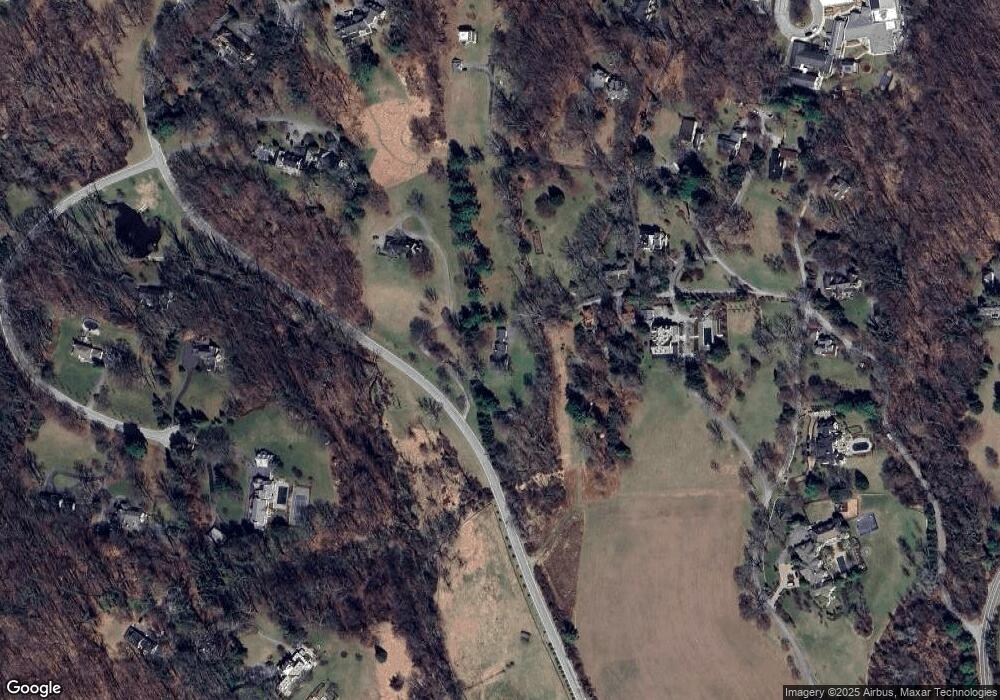
Map
Nearby Homes
- 10606 Candlewick Rd
- LAND Keller Ave
- 8432 Stevenson Rd
- 8430 Stevenson Rd
- 3307 Janellen Dr
- 10634 Park Heights Ave
- 10603 Park Heights Ave
- 16 Merry Hill Ct
- 14 Merry Hill Ct
- 12 Merry Hill Ct
- 3407 Birch Hollow Rd
- 10 Merry Hill Ct
- 3410 Woodvalley Dr
- 3405 Woodvalley Dr
- 8207 Marcie Dr
- 2318 Shaded Brook Dr
- 11214 Park Heights Ave
- 8412 Park Heights Ave
- 2312 Velvet Ridge Dr
- 4 Regency Ct
- 10520 Burnside Farm Rd
- 10538 Burnside Farm Rd
- 10532 Burnside Farm Rd
- 1802 By Woods Ln
- 1700 By Woods Ln
- 1806 By Woods Ln
- 1702 By Woods Ln
- 1808 By Woods Ln
- 1804 By Woods Ln
- 1800 By Woods Ln
- 1810 By Woods Ln
- 1873 Greenspring Valley Rd
- 1903 Greenspring Valley Rd
- 2600 Greenspring Valley Rd
- 6 High Green Ln
- 4 High Green Ln
- 2602 Greenspring Valley Rd
- 1925 Greenspring Valley Rd
- 10619 Candlewick Rd
- 10607 Candlewick Rd
Your Personal Tour Guide
Ask me questions while you tour the home.