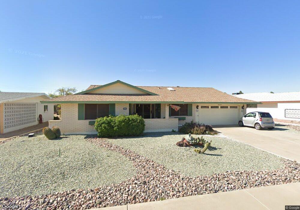
10523 W Kelso Dr Sun City, AZ 85351
Estimated Value: $245,039 - $318,000
--
Bed
2
Baths
1,541
Sq Ft
$190/Sq Ft
Est. Value
About This Home
This home is located at 10523 W Kelso Dr, Sun City, AZ 85351 and is currently estimated at $292,510, approximately $189 per square foot. 10523 W Kelso Dr is a home located in Maricopa County with nearby schools including Ombudsman - Northwest Charter and Peoria Accelerated High School.
Ownership History
Date
Name
Owned For
Owner Type
Purchase Details
Closed on
Jun 26, 2001
Sold by
Scott Ralston Phillip and Scott Angie B
Bought by
Kincaid William L and Kincaid Nancy L
Current Estimated Value
Home Financials for this Owner
Home Financials are based on the most recent Mortgage that was taken out on this home.
Original Mortgage
$50,000
Interest Rate
6.91%
Mortgage Type
New Conventional
Purchase Details
Closed on
May 2, 2000
Sold by
Scott Ralston Phillip
Bought by
Scott Ralston Phillip and Scott Angie B
Create a Home Valuation Report for This Property
The Home Valuation Report is an in-depth analysis detailing your home's value as well as a comparison with similar homes in the area
Home Values in the Area
Average Home Value in this Area
Purchase History
| Date | Buyer | Sale Price | Title Company |
|---|---|---|---|
| Kincaid William L | $90,000 | First American Title | |
| Scott Ralston Phillip | -- | -- | |
| Scott Ralston Phillip | -- | -- |
Source: Public Records
Mortgage History
| Date | Status | Borrower | Loan Amount |
|---|---|---|---|
| Previous Owner | Kincaid William L | $50,000 |
Source: Public Records
Tax History Compared to Growth
Tax History
| Year | Tax Paid | Tax Assessment Tax Assessment Total Assessment is a certain percentage of the fair market value that is determined by local assessors to be the total taxable value of land and additions on the property. | Land | Improvement |
|---|---|---|---|---|
| 2025 | $827 | $10,225 | -- | -- |
| 2024 | $820 | $10,225 | -- | -- |
| 2023 | $820 | $0 | $0 | $0 |
| 2022 | $811 | $14,520 | $2,900 | $11,620 |
| 2021 | $879 | $16,530 | $3,300 | $13,230 |
| 2020 | $898 | $14,520 | $2,900 | $11,620 |
| 2019 | $882 | $13,550 | $2,710 | $10,840 |
| 2018 | $849 | $12,350 | $2,470 | $9,880 |
| 2017 | $820 | $11,050 | $2,210 | $8,840 |
| 2016 | $434 | $10,410 | $2,080 | $8,330 |
| 2015 | $731 | $9,370 | $1,870 | $7,500 |
Source: Public Records
Map
Nearby Homes
- 10707 W Mission Ln
- 9202 N 107th Ave Unit 8
- 10726 W Kelso Dr Unit 172
- 10731 W Mission Ln Unit 200
- 10726 W Denham Dr Unit 16
- 8803 N 105th Dr
- 10732 W Denham Dr Unit 17
- 10326 W Caron Dr
- 10825 W Caron Dr
- 10512 W Ruth Ave
- 8800 N 107th Ave Unit 17
- 8800 N 107th Ave Unit 19
- 8800 N 107th Ave Unit 52
- 10603 W Ruth Ave
- 9815 N 103rd Ave
- 10316 W Salem Dr Unit 6D
- 10816 W Venturi Dr
- 10801 W Mountain View Rd
- 10221 W Puget Ave
- 10201 W Caron Dr
- 10519 W Kelso Dr
- 10531 W Kelso Dr
- 10528 W Caron Dr
- 10534 W Caron Dr
- 10524 W Caron Dr
- 10513 W Kelso Dr
- 10520 W Kelso Dr
- 10526 W Kelso Dr
- 10542 W Caron Dr
- 10532 W Kelso Dr
- 10514 W Kelso Dr
- 10512 W Caron Dr
- 10538 W Kelso Dr
- 10549 W Kelso Dr
- 10507 W Kelso Dr
- 10548 W Caron Dr
- 10527 W Caron Dr
- 10508 W Kelso Dr
- 10544 W Kelso Dr
- 10506 W Caron Dr