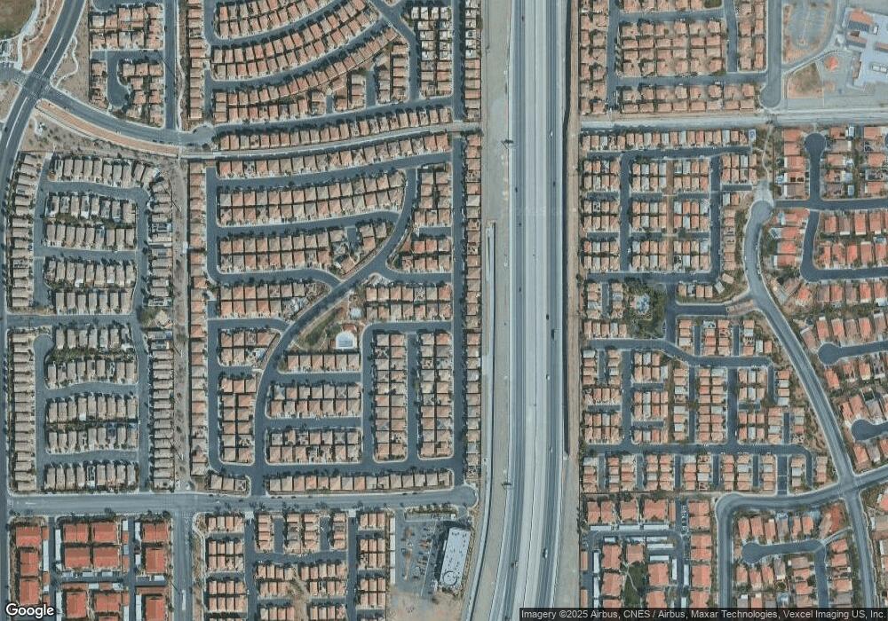
10524 Groton Ave Las Vegas, NV 89129
Lone Mountain NeighborhoodEstimated Value: $452,549 - $479,000
4
Beds
3
Baths
2,226
Sq Ft
$209/Sq Ft
Est. Value
About This Home
This home is located at 10524 Groton Ave, Las Vegas, NV 89129 and is currently estimated at $464,387, approximately $208 per square foot. 10524 Groton Ave is a home located in Clark County with nearby schools including Eileen Conners Elementary School, Justice Myron E Leavitt Middle School, and Centennial High School.
Ownership History
Date
Name
Owned For
Owner Type
Purchase Details
Closed on
Jan 22, 2014
Sold by
Usiak Mark
Bought by
Usiak Rosa M
Current Estimated Value
Purchase Details
Closed on
Oct 24, 2007
Sold by
Astoria Lone Mountain 30 Llc
Bought by
Lambert Brian D and Lambert Dena M
Home Financials for this Owner
Home Financials are based on the most recent Mortgage that was taken out on this home.
Original Mortgage
$296,471
Interest Rate
6.27%
Mortgage Type
FHA
Create a Home Valuation Report for This Property
The Home Valuation Report is an in-depth analysis detailing your home's value as well as a comparison with similar homes in the area
Home Values in the Area
Average Home Value in this Area
Purchase History
| Date | Buyer | Sale Price | Title Company |
|---|---|---|---|
| Usiak Rosa M | $265,000 | None Available | |
| Lambert Brian D | $301,124 | First Amer Title Co Of Nv |
Source: Public Records
Mortgage History
| Date | Status | Borrower | Loan Amount |
|---|---|---|---|
| Previous Owner | Lambert Brian D | $296,471 |
Source: Public Records
Tax History Compared to Growth
Tax History
| Year | Tax Paid | Tax Assessment Tax Assessment Total Assessment is a certain percentage of the fair market value that is determined by local assessors to be the total taxable value of land and additions on the property. | Land | Improvement |
|---|---|---|---|---|
| 2025 | $2,283 | $126,549 | $31,850 | $94,699 |
| 2024 | $2,217 | $126,549 | $31,850 | $94,699 |
| 2023 | $2,217 | $123,149 | $33,950 | $89,199 |
| 2022 | $2,359 | $107,196 | $25,900 | $81,296 |
| 2021 | $2,185 | $102,121 | $25,200 | $76,921 |
| 2020 | $2,026 | $101,279 | $25,200 | $76,079 |
| 2019 | $1,898 | $96,080 | $21,350 | $74,730 |
| 2018 | $1,811 | $89,731 | $18,200 | $71,531 |
| 2017 | $2,592 | $78,822 | $16,800 | $62,022 |
| 2016 | $1,696 | $78,636 | $14,700 | $63,936 |
| 2015 | $1,692 | $67,718 | $11,900 | $55,818 |
| 2014 | $1,640 | $48,623 | $6,300 | $42,323 |
Source: Public Records
Map
Nearby Homes
- 10528 Tugaloo Ave
- 3740 Cedartown St
- 3624 Breman St
- 3617 Austell St
- 10537 Hamdem Ave
- 10456 Prairie Schooner Ave
- 3644 Starlight Evening St
- 10635 Solar Hawk Ave
- 10413 Cole Younger Ct
- 10635 Seasonable Dr
- 10516 Table Lands Ct
- 10404 Coyote Cub Ave
- 10400 Coyote Cub Ave
- 10429 Chandra Ave
- 3908 Total Eclipse St
- 3544 Desert Cliff St Unit 102
- 10603 Rain Water Dr
- 3540 Cactus Shadow St Unit 201
- 10372 Pink Cloud Ct
- 10516 Cold Mountain Ave
- 10528 Groton Ave
- 10525 Tugaloo Ave
- 10529 Tugaloo Ave
- 10529 Tugaloo Ave Unit x
- 10532 Groton Ave
- 3704 Austell St
- 3653 Austell St
- 3656 Austell St
- 3656 Austell St
- 3708 Austell St
- 10533 Tugaloo Ave
- 3652 Breman St
- 3712 Austell St
- 10536 Groton Ave
- 3652 Austell St
- 3649 Austell St
- 10537 Tugaloo Ave
- 3648 Breman St
- 3716 Austell St
- 10524 Tugaloo Ave
