10526 Cole Point Dr Anderson Island, WA 98303
Estimated Value: $200,000 - $1,099,000
--
Bed
--
Bath
600
Sq Ft
$1,335/Sq Ft
Est. Value
About This Home
This home is located at 10526 Cole Point Dr, Anderson Island, WA 98303 and is currently estimated at $800,894, approximately $1,334 per square foot. 10526 Cole Point Dr is a home with nearby schools including Anderson Island Elementary School, Pioneer Middle School, and Steilacoom High School.
Ownership History
Date
Name
Owned For
Owner Type
Purchase Details
Closed on
Nov 26, 2012
Sold by
Farrell Leeann
Bought by
Farrell Property Investments Llc
Current Estimated Value
Purchase Details
Closed on
Jul 12, 2007
Sold by
Farrell Leeann
Bought by
Farrell Leeann
Purchase Details
Closed on
Jun 9, 2006
Sold by
Kooley Sean H
Bought by
Kooley Sean H and Kooley Eric
Purchase Details
Closed on
Oct 28, 2004
Sold by
Wilcox Anderson Island Lp
Bought by
Farrell John and Farrell Leeann
Create a Home Valuation Report for This Property
The Home Valuation Report is an in-depth analysis detailing your home's value as well as a comparison with similar homes in the area
Home Values in the Area
Average Home Value in this Area
Purchase History
| Date | Buyer | Sale Price | Title Company |
|---|---|---|---|
| Farrell Property Investments Llc | -- | None Available | |
| Farrell Leeann | -- | None Available | |
| Kooley Sean H | -- | None Available | |
| Farrell John | $450,000 | Chicago Title Insurance Co |
Source: Public Records
Tax History Compared to Growth
Tax History
| Year | Tax Paid | Tax Assessment Tax Assessment Total Assessment is a certain percentage of the fair market value that is determined by local assessors to be the total taxable value of land and additions on the property. | Land | Improvement |
|---|---|---|---|---|
| 2025 | $8,707 | $919,700 | $830,500 | $89,200 |
| 2024 | $8,707 | $894,700 | $810,200 | $84,500 |
| 2023 | $8,707 | $835,500 | $761,600 | $73,900 |
| 2022 | $8,564 | $795,200 | $729,200 | $66,000 |
| 2021 | $7,718 | $611,900 | $567,200 | $44,700 |
| 2019 | $5,941 | $583,300 | $538,800 | $44,500 |
| 2018 | $6,263 | $457,400 | $417,800 | $39,600 |
| 2017 | $5,774 | $428,100 | $392,200 | $35,900 |
| 2016 | $6,169 | $424,600 | $388,500 | $36,100 |
| 2014 | $5,399 | $423,600 | $388,500 | $35,100 |
| 2013 | $5,399 | $303,300 | $295,600 | $7,700 |
Source: Public Records
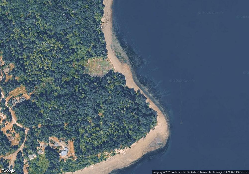
Map
Nearby Homes
- 11024 Cascade Place
- 11422 Leschi Cir
- 11511 Lake Josephine Ave
- 11321 Lake Josephine Blvd
- 10712 Lakeshore Dr
- 10603 Lakeshore Dr
- 10419 Riviera Dr
- 11507 Lake Josephine Ave
- 12721 110th St
- 11205 110th St
- 11616 Country Club Dr
- 11913 Country Club Dr
- 11813 Country Club Dr
- 10718 Trout Place W
- 10921 Pioneer Dr
- 11114 106th St
- 11421 108th St Unit AI
- 11324 Laurel Place
- 11212 &11208 106th St
- 10424 107th Avenue Ct
- 10624 Cole Point Dr
- 12511 Cole Point Dr Unit AI
- 10702 Cole Point Dr
- 10708 Cole Point Dr Unit AI
- 10802 125th Street Ct
- 12409 Cole Point Dr
- 10805 125th Street Ct
- 12410 Cole Point Dr
- 12406 Cole Point Dr
- 12405 Cole Point Dr
- 10806 125th Street Ct Unit AI
- 10800 126th St
- 10712 Cole Point Dr
- 12512 Cole Point Dr Unit AI
- 12508 Cole Point Dr Unit AI
- 12508 Cole Point Dr
- 12402 Cole Point Dr
- 12310 Cole Point Dr
- 12314 Cole Point Dr
- 12314 Cole Point Dr Unit AI