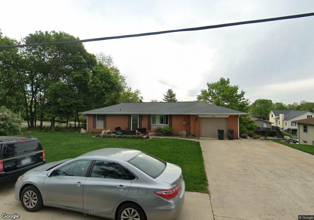
10526 N 800 E Syracuse, IN 46567
Estimated Value: $536,000 - $602,000
3
Beds
3
Baths
1,100
Sq Ft
$517/Sq Ft
Est. Value
About This Home
This home is located at 10526 N 800 E, Syracuse, IN 46567 and is currently estimated at $568,557, approximately $516 per square foot. 10526 N 800 E is a home located in Kosciusko County with nearby schools including Wawasee High School.
Ownership History
Date
Name
Owned For
Owner Type
Purchase Details
Closed on
Mar 22, 2024
Sold by
10526 N 800 E Llc
Bought by
Debra L Rookstool Trust and Rookstool
Current Estimated Value
Purchase Details
Closed on
May 18, 2023
Sold by
Rookstool Debra L
Bought by
10526 N 800 Llc
Purchase Details
Closed on
Aug 16, 2017
Sold by
Rookstool Kerry E and Kerry E Rookstool Revocable Li
Bought by
Rookstool Debra L and Debra L Rookstool Revocable Li
Create a Home Valuation Report for This Property
The Home Valuation Report is an in-depth analysis detailing your home's value as well as a comparison with similar homes in the area
Purchase History
| Date | Buyer | Sale Price | Title Company |
|---|---|---|---|
| Debra L Rookstool Trust | -- | None Listed On Document | |
| 10526 N 800 Llc | -- | None Listed On Document | |
| Rookstool Debra L | -- | None Available |
Source: Public Records
Tax History
| Year | Tax Paid | Tax Assessment Tax Assessment Total Assessment is a certain percentage of the fair market value that is determined by local assessors to be the total taxable value of land and additions on the property. | Land | Improvement |
|---|---|---|---|---|
| 2025 | $4,569 | $596,400 | $359,200 | $237,200 |
| 2024 | $4,569 | $512,600 | $305,100 | $207,500 |
| 2023 | $2,446 | $492,300 | $292,900 | $199,400 |
| 2022 | $2,414 | $450,700 | $267,400 | $183,300 |
| 2021 | $2,041 | $370,300 | $226,600 | $143,700 |
| 2020 | $1,696 | $352,900 | $221,500 | $131,400 |
| 2019 | $1,877 | $347,700 | $221,500 | $126,200 |
| 2018 | $1,745 | $339,800 | $221,500 | $118,300 |
| 2017 | $1,706 | $331,600 | $222,200 | $109,400 |
| 2016 | $1,586 | $335,600 | $217,100 | $118,500 |
| 2014 | $1,602 | $324,800 | $217,100 | $107,700 |
| 2013 | $1,602 | $334,500 | $222,200 | $112,300 |
Source: Public Records
Map
Nearby Homes
- 10454 N 800 E
- 0 E Highland View Dr
- 10492 N Elwood Ave
- 10660 N Southshore Dr Unit D3
- 10660 N Southshore Dr Unit D1
- 10712 N Southshore Dr
- 9857 N Skyline Dr
- 11068 N Ideal Beach Dr
- 11102 N Dogleg Dr E
- 9061 E Hatchery Rd
- 9186 E Snow White Rd
- 9355 E Wawasee Cir S
- 11497 N Biscayne Ln
- 9285 E Sleepy Hollow Pkwy
- 7790 E Cherokee Rd
- 6458 E Waco Dr
- TBD Sir Lancelot Ln
- TBD N Grandview Dr
- 9561 E Pixie Pkwy
- 9218 N Koher Rd E
- 10510 N 800 E Unit Lake Wawasee Channel
- 10510 N 800 E
- 10502 N 800 E
- 10498 N 800 E
- 10521 N Moore St
- 10509 N Moore St
- 10525 N 800 E
- 10503 N Moore St
- 10482 N 800 E
- 8024 E Highland View Dr
- 8048 E Highland View Dr
- 10491 N Moore St
- TBD Moore
- 10470 N 800 E
- 14069 Moore St
- 10483 N Moore St
- 8016 E Highland View Dr
- 10473 N Moore St
- 8078 E Highland View Dr
- 8086 E Highland View Dr
Your Personal Tour Guide
Ask me questions while you tour the home.