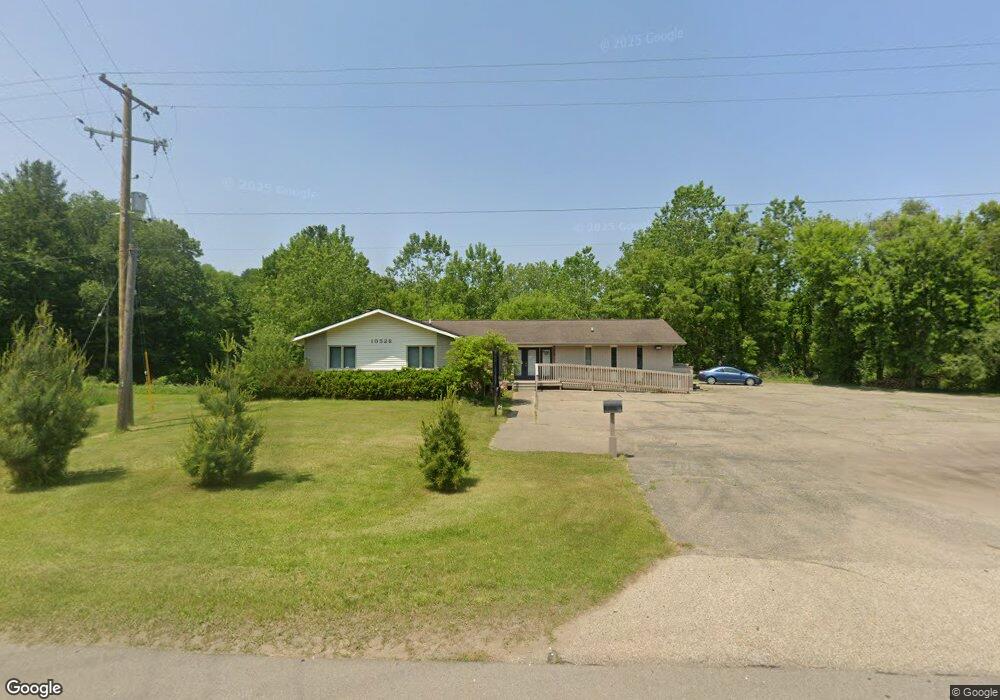
10528 Shaver Rd Portage, MI 49024
Estimated Value: $445,976
--
Bed
--
Bath
3,500
Sq Ft
$127/Sq Ft
Est. Value
About This Home
This home is located at 10528 Shaver Rd, Portage, MI 49024 and is currently estimated at $445,976, approximately $127 per square foot. 10528 Shaver Rd is a home located in Kalamazoo County with nearby schools including Moorsbridge Elementary School, Portage Central Middle School, and Portage Central High School.
Ownership History
Date
Name
Owned For
Owner Type
Purchase Details
Closed on
May 9, 2014
Sold by
Oros John L and Oros Wendy
Bought by
Thorsos Llc
Current Estimated Value
Purchase Details
Closed on
Oct 8, 2002
Sold by
S & T Enterprises Llc
Bought by
Oros John L and Oros Wendy
Home Financials for this Owner
Home Financials are based on the most recent Mortgage that was taken out on this home.
Original Mortgage
$198,000
Interest Rate
6.24%
Mortgage Type
Commercial
Create a Home Valuation Report for This Property
The Home Valuation Report is an in-depth analysis detailing your home's value as well as a comparison with similar homes in the area
Home Values in the Area
Average Home Value in this Area
Purchase History
| Date | Buyer | Sale Price | Title Company |
|---|---|---|---|
| Thorsos Llc | -- | Lighthouse Title Inc | |
| Oros John L | $218,000 | Devon Title Agency |
Source: Public Records
Mortgage History
| Date | Status | Borrower | Loan Amount |
|---|---|---|---|
| Previous Owner | Oros John L | $198,000 |
Source: Public Records
Tax History Compared to Growth
Tax History
| Year | Tax Paid | Tax Assessment Tax Assessment Total Assessment is a certain percentage of the fair market value that is determined by local assessors to be the total taxable value of land and additions on the property. | Land | Improvement |
|---|---|---|---|---|
| 2025 | $5,667 | $124,200 | $0 | $0 |
| 2024 | $5,180 | $132,500 | $0 | $0 |
| 2023 | $4,969 | $118,400 | $0 | $0 |
| 2022 | $5,139 | $105,800 | $0 | $0 |
| 2021 | $4,969 | $98,800 | $0 | $0 |
| 2020 | $4,872 | $109,300 | $0 | $0 |
| 2019 | $314 | $98,900 | $0 | $0 |
| 2018 | $0 | $91,600 | $0 | $0 |
| 2017 | $0 | $87,800 | $0 | $0 |
| 2016 | -- | $85,900 | $0 | $0 |
| 2015 | -- | $72,100 | $0 | $0 |
| 2014 | -- | $71,000 | $0 | $0 |
Source: Public Records
Map
Nearby Homes
- 2633 Rolling Hill Ave
- 1817 Alder Ave
- 10381 Schrier Ln
- 10025 Shuman St
- 10382 Pennridge Dr
- Integrity 1800 Plan at Pennridge Trail North
- Integrity 2085 Plan at Pennridge Trail North
- Integrity 1910 Plan at Pennridge Trail North
- 10197 Pennridge Dr
- 10187 Pennridge Dr
- 10118 Pennridge Dr
- 9898 Windflower Ln
- 10077 Kearns Ct
- 10025 Kearns Ct
- 10029 Kearns Ct
- 9820 Windflower Ln
- 2613 Ashford Trail
- 2685 Ashford Trail
- 9770 Windflower Ln
- 9899 Windflower Ln
- 10532 Shaver Rd
- 10523 Shaver Rd
- 10509 Shaver Rd
- 10535 Shaver Rd
- 10542 Shaver Rd
- 2528 Mapleview Ave
- 2529 Rolling Hill Ave
- 2419 W Osterhout Ave
- 2611 Rolling Hill Ave
- 2516 Mapleview Ave
- 2508 Mapleview Ave
- 10445 Shaver Rd
- 10600 Shaver Rd
- 2519 Rolling Hill Ave
- 10442 Shaver Rd
- 2617 Rolling Hill Ave
- 2527 Rolling Hill Ave
- 2430 Mapleview Ave
- 10418 Shaver Rd
- 729 Sand Pointe Trail